What is Metadata? (Hint: It’s All About the Data)
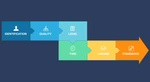
Metadata is like an instruction manual for data. It describes who, what, when, where and why for data. At the same time, it has to be detailed & dependable.
Metadata is like an instruction manual for data. It describes who, what, when, where and why for data. At the same time, it has to be detailed & dependable.
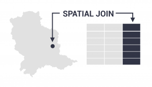
The spatial join tool inserts the columns from one feature table to another based on location or proximity. It can affix one or many fields to the target.
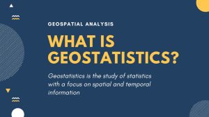
Geostatistics is the study of statistics with a focus on finding patterns of geographic phenomena using variograms, kriging and validation.

The Internet of Things (IoT) connects billions of sensors from around the world, enabling the exchange of information between them.
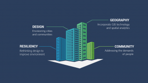
Geodesign is the field of study that combines geography with design. Design shapes our world by addressing the needs of people and promoting more resiliency.
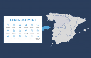
Geoenrichment is a process that assigns demographic attributes such as education, income, or age to polygons based on geographic location.
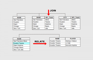
Join appends attributes to a table commonly used for 1-1 table relationships. Relate creates a temporary table for all matching records.
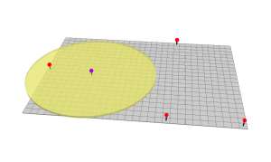
The buffer tool (planar/geodesic) generates a polygon around features at a set distance. Here are ring, geodesic & euclidean buffers.

Routing, mapping and LiDAR. Will GIS thrive in a world of driverless cars? We explore the potential integration of GIS in autonomous vehicles.
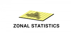
Zonal Statistics uses groupings to calculate statistics (sum, mean, maximum, etc) for specified zones like countries, watersheds or parcels.