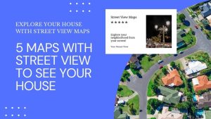
5 Maps with Street View To See Your House
Ever found yourself lost in another country? Maps with street view change that. They give you a real-life glimpse of your destination.
Ever found yourself lost in another country? Maps with street view change that. They give you a real-life glimpse of your destination.

So you’re looking to build a map dashboard? Well, you’ve come to the right place. Today, we’ll count down our favorite map dashboards.
With the ArcGIS Maps for Sharepoint solution, users can quickly view and explore their geographic data within their SharePoint environment.

This step-by-step guide will walk you through the process of creating Excel maps (choropleth maps) from start to finish with sample data.
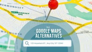
Whether you’re looking for a detailed map of a city or for a road trip, these alternatives to Google Maps can you with right tool for the job.
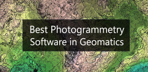
In this article, we’ll discuss the best photogrammetry software for geomatics available today including Pix4D, ArcGIS Pro, and Autodesk ReCap.
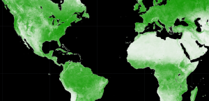
Google Earth Engine (GEE) is a cloud-based platform that delivers a multi-petabyte catalog of satellite imagery for planetary-scale analysis.

In this Autodesk review, we’ll talk about the world’s leading provider of CAD software for design, engineering, and construction.

If you’re new to HERE WeGo Maps, this guide will help you get started with the app, API, and other ways that you can use HERE WeGo Maps.
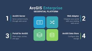
ArcGIS Enterprise is a back-end software that allows you to control how to implement web GIS and serve spatial data across an organization.