5 Best Web Mapping Platforms – The Battle of Web GIS
Web mapping is in an arm’s race and the war is in the cloud. It’s a web GIS battle with ArcGIS Online, Carto, Mapbox, Mango Map, and GIS Cloud.
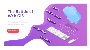
Web mapping is in an arm’s race and the war is in the cloud. It’s a web GIS battle with ArcGIS Online, Carto, Mapbox, Mango Map, and GIS Cloud.

Today you’re going to see the best 3D maps in action. You can interactively fly around buildings and landscapes in three dimensions.
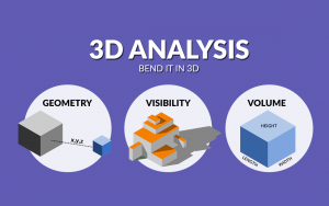
3D analysis is a growing trend because it better represents the real world. For some problems, 3D is sometimes the only way to solve it.

If you want to learn GIS, this is your guide to Geographic Information Systems. It covers analysis, cartography, remote sensing and software.
Chances are that you are already using Mapbox, and you may not know it! Apps like Snapchat integrate Mapbox directly into their applications.
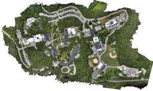
Photogrammetry uses photographs from at least two different vantage points. It obtains depth and perspective because of separate points of observation.
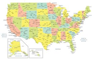
A USA map with states and cities that colorizes all 50 states in the United States of America. It includes selected major, minor and capital cities.
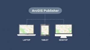
ArcGIS Publisher makes it easy to share digital versions of maps and data by publishing maps in PMF format that are accessible in ArcReader.
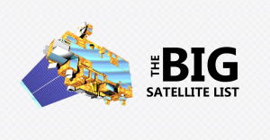
A list of the 50 most iconic satellites put up into space to monitor our planet. We show the uses and types of satellites like weather and GPS satellites.

Today, we’re going to show you the art of how to self-learn GIS. Even if GIS doesn’t run through your veins, you can inject these strategies.