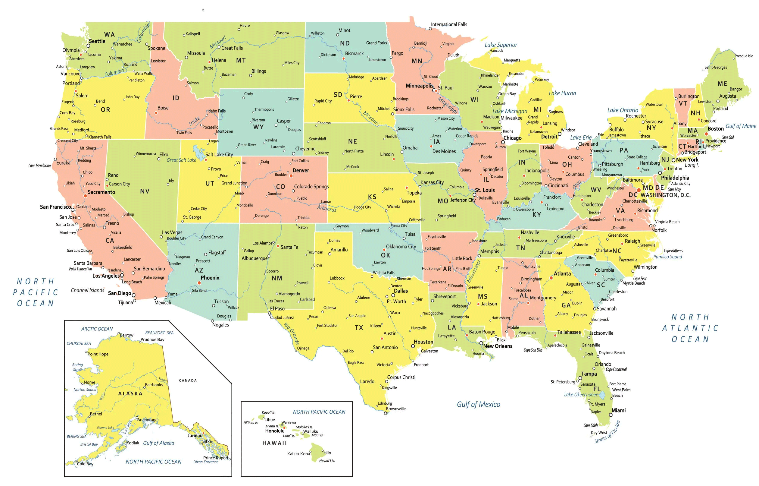
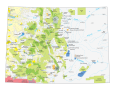
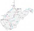
USA Map with States and Cities
This USA map with states and cities colorizes all 50 states in the United States of America. It includes selected major, minor, and capital cities including the nation’s capital city of Washington, DC.
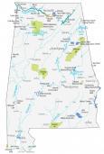
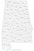
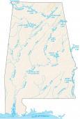
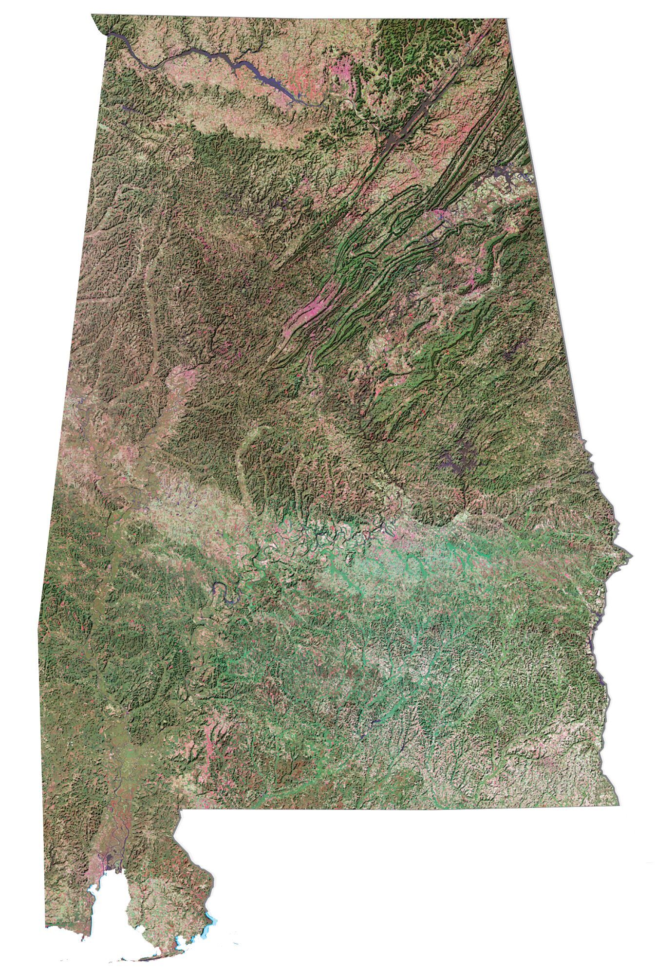
Alabama
Montgomery
Birmingham
Mobile
Huntsville
Selma
Dothan
Tuscaloosa

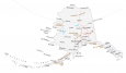
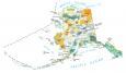
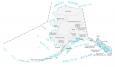
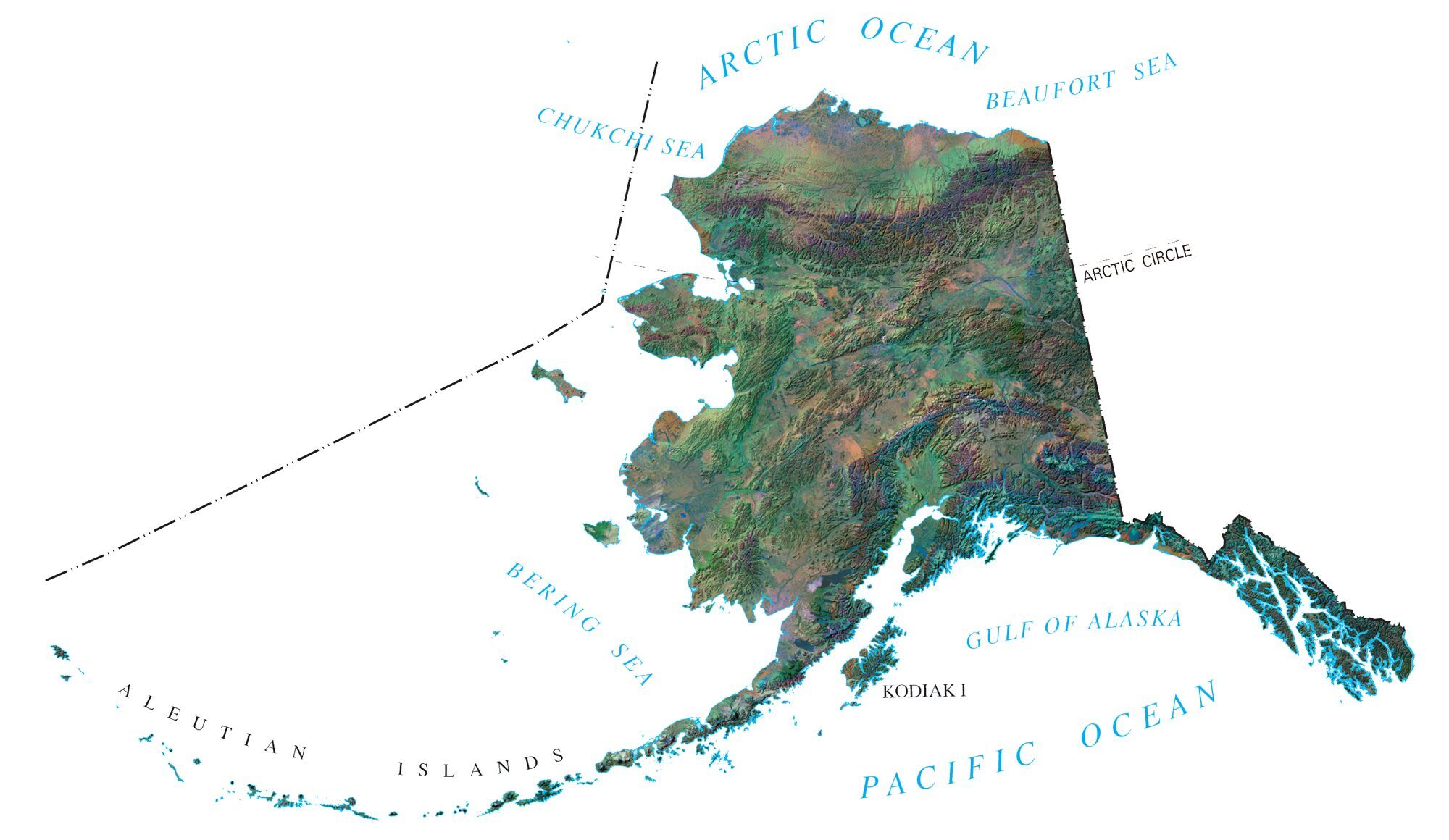
Alaska
Juneau
Anchorage
Fairbanks
Point Hope
Barrow
Prudhoe Bay
Bethel
Kodiak
Cold Bay
Sitka
Nome
Bristol Bay
Norton Sound
Chukchi Sea
Beaufort Sea
Bering Strait
Bering Sea
Gulf of Alaska
Yukon River
Cook Inlet
Iliamna Lake
Arctic Ocean
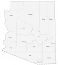
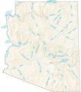
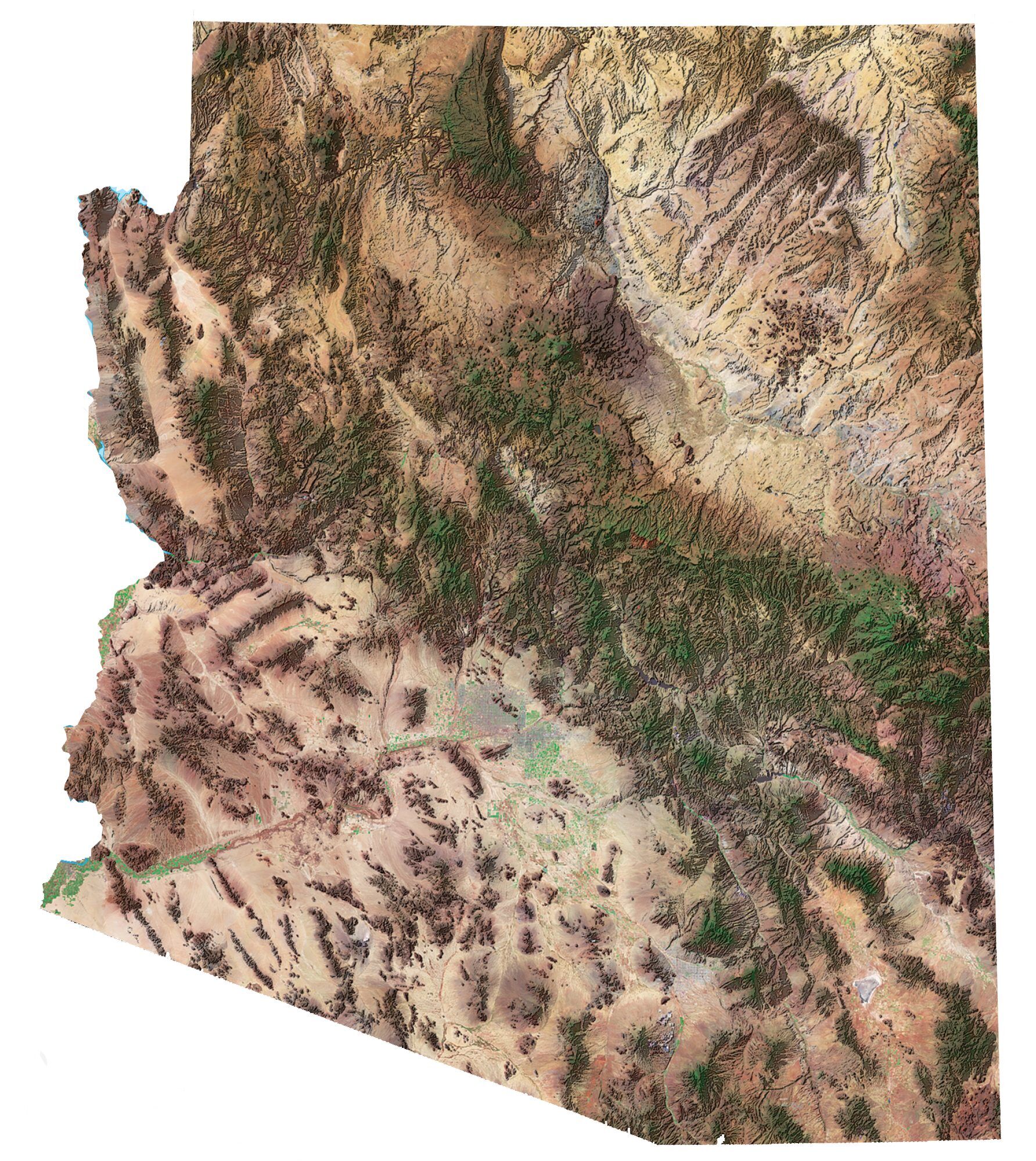
Arizona
Phoenix
Flagstaff
Grand Canyon
Kingman
Prescott
Yuma
Gila Bend
Tucson
Wilcox
Douglas
Nogales
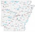
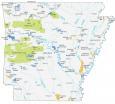
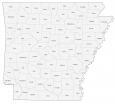
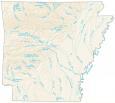
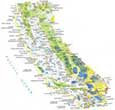
Arkansas
Little Rock
Fayetteville
Jonesboro
Fort Smith
Hot Springs
Pine Bluff
El Dorado
Mississippi River

California
Sacramento
Los Angeles
San Francisco
San Diego
Oakland
San Jose
San Bernardino
Long Beach
Palm Springs
Fresno
Santa Barbara
Santa Cruz
Redding
Ukiah
Yuba City
Modesto
Merced
Salinas
Monterey
Bishop
Visalia
San Luis Obispo
Bakersfield
Lancaster
Eureka
Chico
Pasadena
Lancaster
Tijuana
Crescent City
Mt. Shasta
Mexicali
Needles
Cape Mendocino
Point Conception
Channel Islands


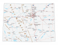
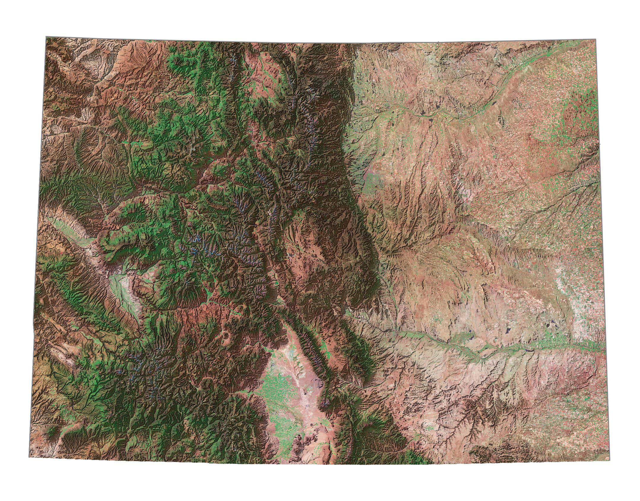
Colorado
Denver
Boulder
Fort Collins
Colorado Springs
Grand Junction
Craig
Gunnison
Pueblo
Lamar
Durango
Trinidad
Arkansas River
Colorado River
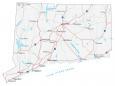
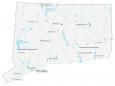
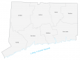
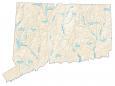
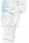
Connecticut
Hartford
Bridgeport
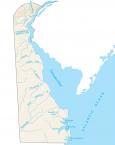
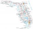
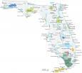
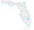
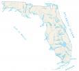
Florida
Tallahassee
Tampa
Miami
Jacksonville
Orlando
Daytona Beach
Key West
St. Petersburg
Palm Beach
Pensacola
Appalachicola
Gainesville
Ocala
Sarasota
Fort Pierce
Fort Myers
Naples
Cape Sable
Cape Canaveral
Cape San Blas
Lake Okeechobee
Straits of Florida

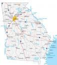
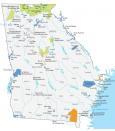
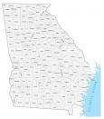
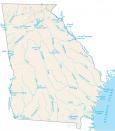
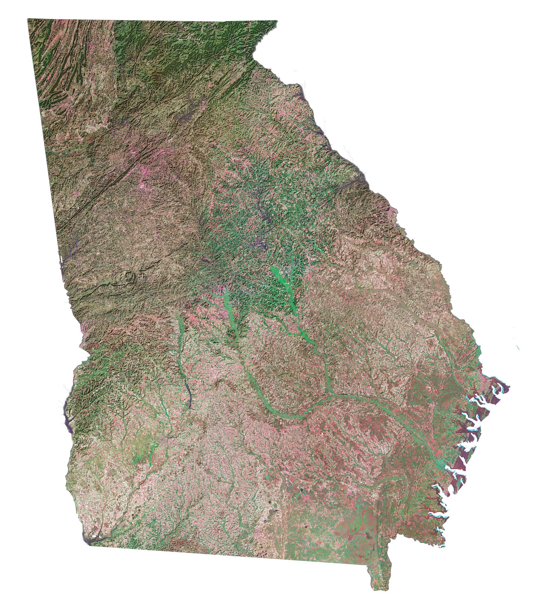
Georgia
Atlanta
Savannah
Augusta
Macon
Dublin
Albany
Douglas
Brunswick
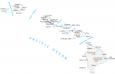
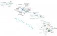
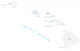
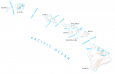
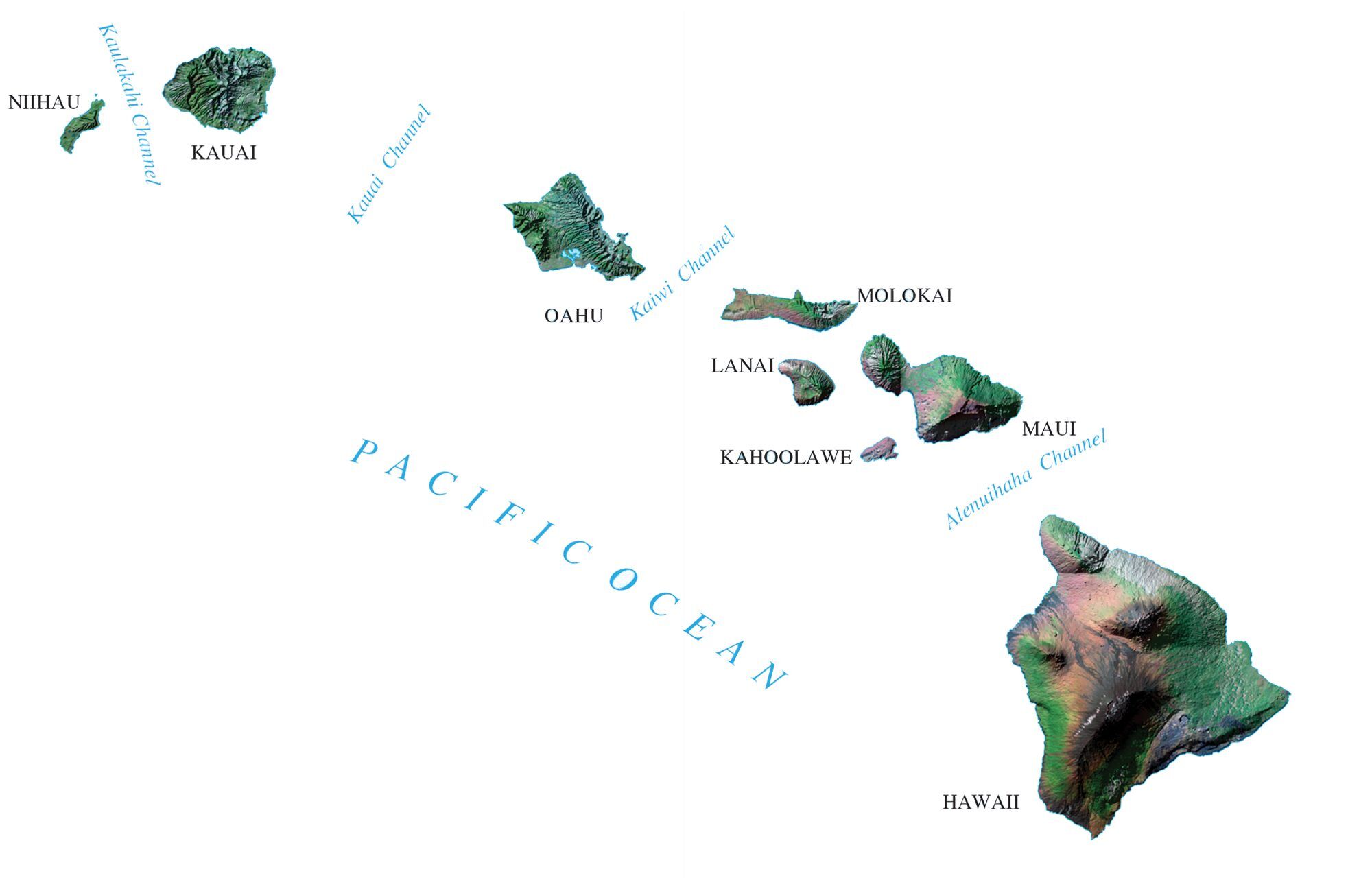
Hawaii
Honolulu
Oahu Island
Maui Island
Hilo
Wahiawa
Kailua-Kona
Wailuku
Lihue
Niihau Island
Kauai Island
Lanal Island
Molokai Island
Hawaii Island
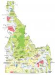
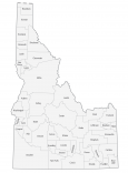
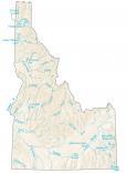
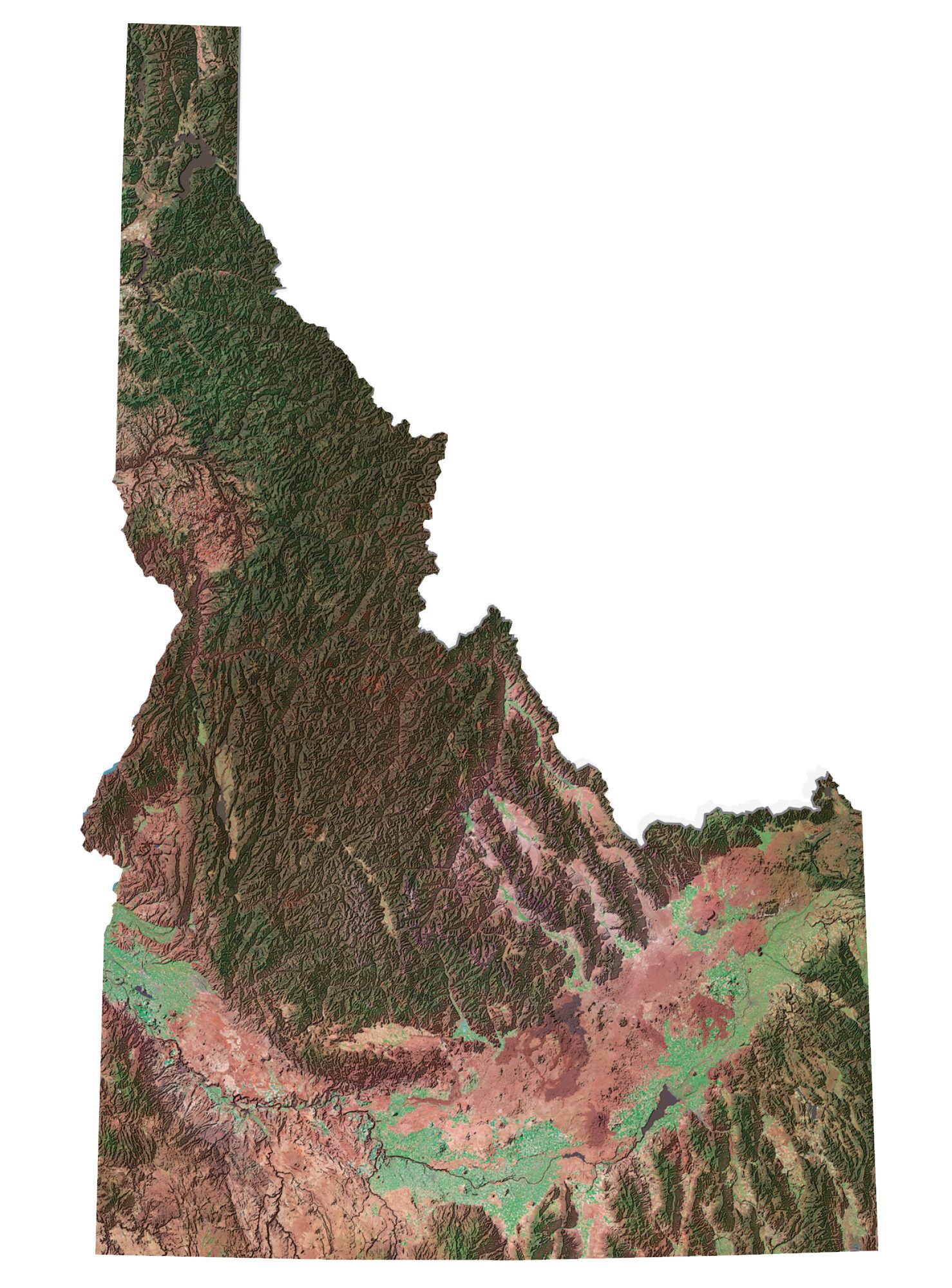
Idaho
Boise
Lewiston
Twin Falls
Idaho Falls
Pocatello
Montpelier
Salmon
Snake River
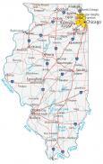
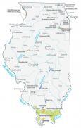
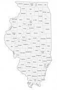
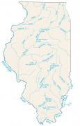
Illinois
Springfield
Chicago
Aurora
Peoria
Quincy
Waukegan
Belleville
Decatur

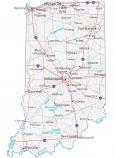
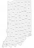
Indiana
Indianapolis
Fort Wayne
Bloomington
Evansville


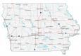
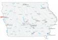
Iowa
Des Moines
Ames
Cedar Rapids
Waterloo
Mason City
Davenport
Missouri River
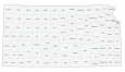
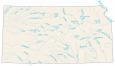
Kansas
Topeka
Wichita
Salina
Dodge City
Emporia
Coffeyville
Arkansas River
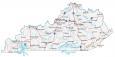
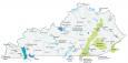
Kentucky
Frankfort
Louisville
Lexington
Owensboro
Paducah

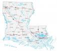
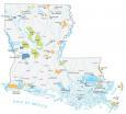
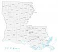
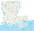
Louisiana
Baton Rouge
New Orleans
Shreveport
Alexandria
Lafayette
Houma

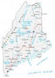
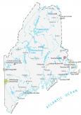
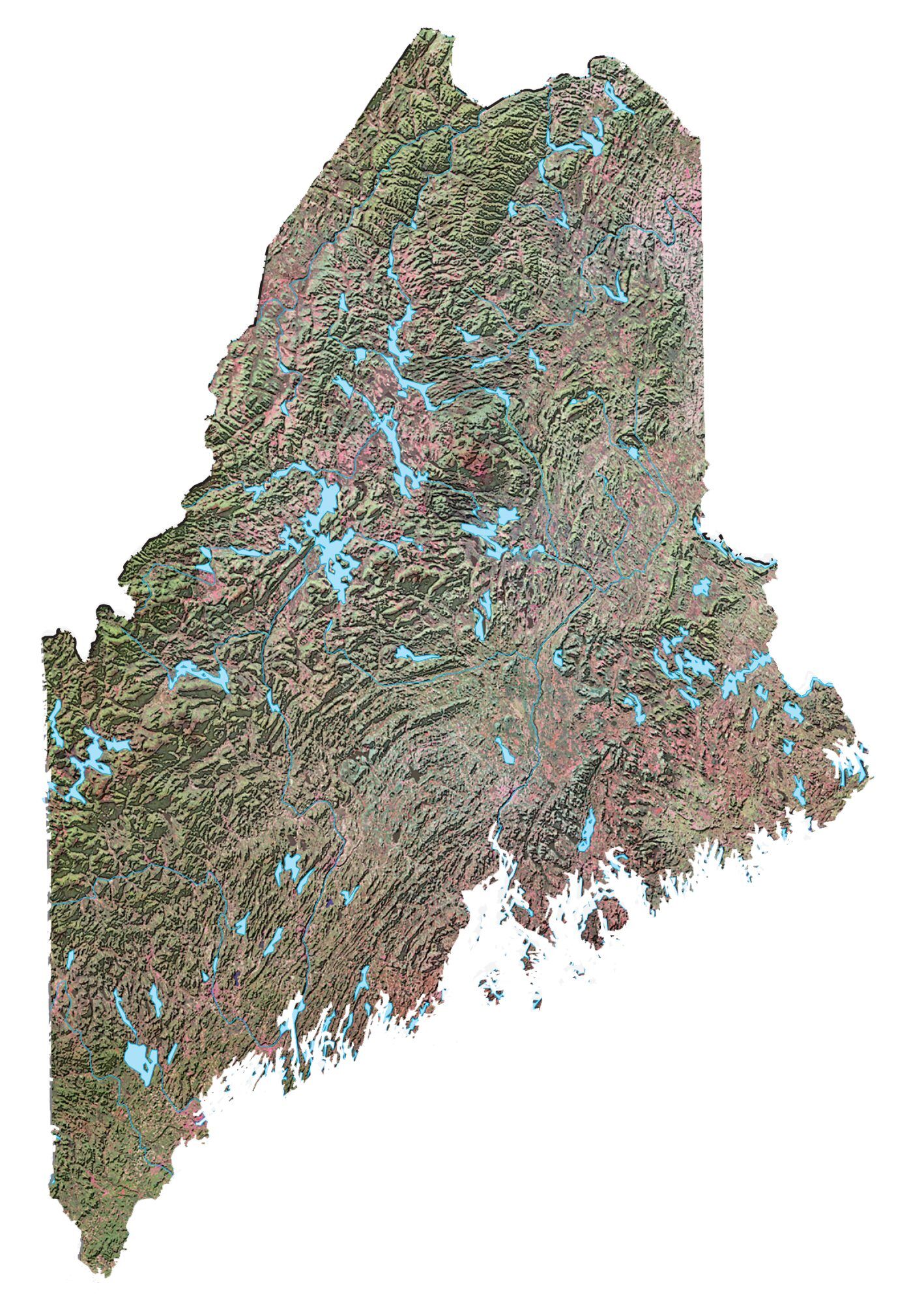
Maine
Augusta
Portland
Lewiston
Bangor
Presque Isle
Gulf of Maine
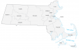
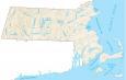
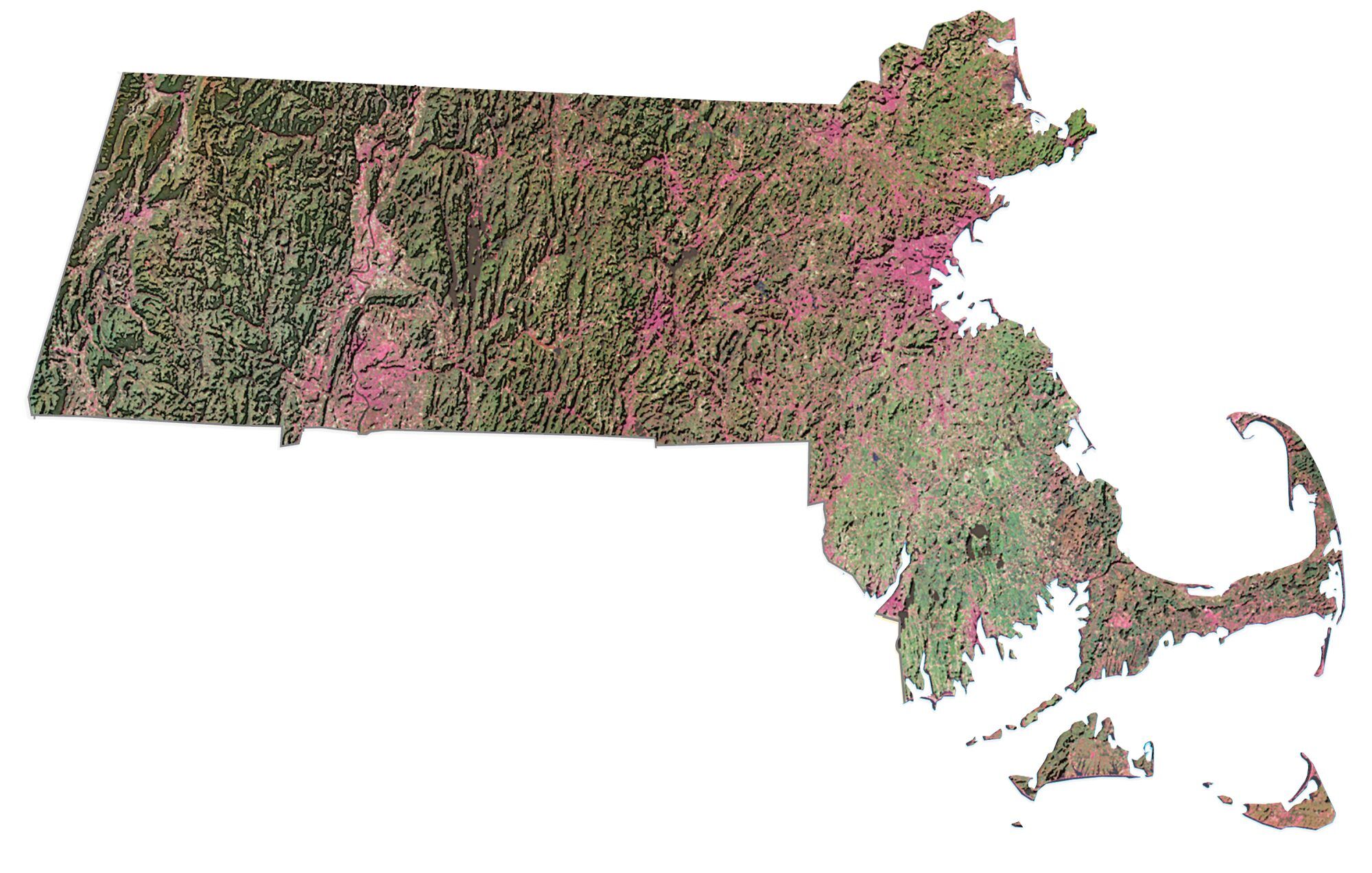
Massachusetts
Boston
Worcester
Gulf of Maine
Cape Cod
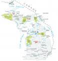
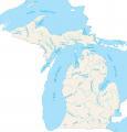
Michigan
Lansing
Detroit
Hancock
Marquette
Escanaba
Petoskey
Cadillac
Grand Rapids
Saginaw
Windsor
Kalamazoo


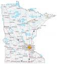
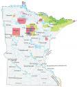
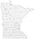
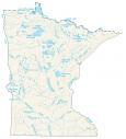
Minnesota
St. Paul
Minneapolis
International Falls
Virginia
Duluth
Bemidji
St. Cloud
Rochester
Winona
Mississippi River

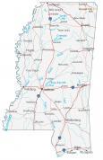
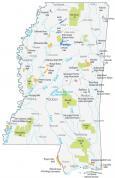
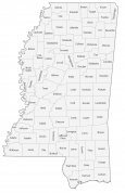
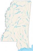
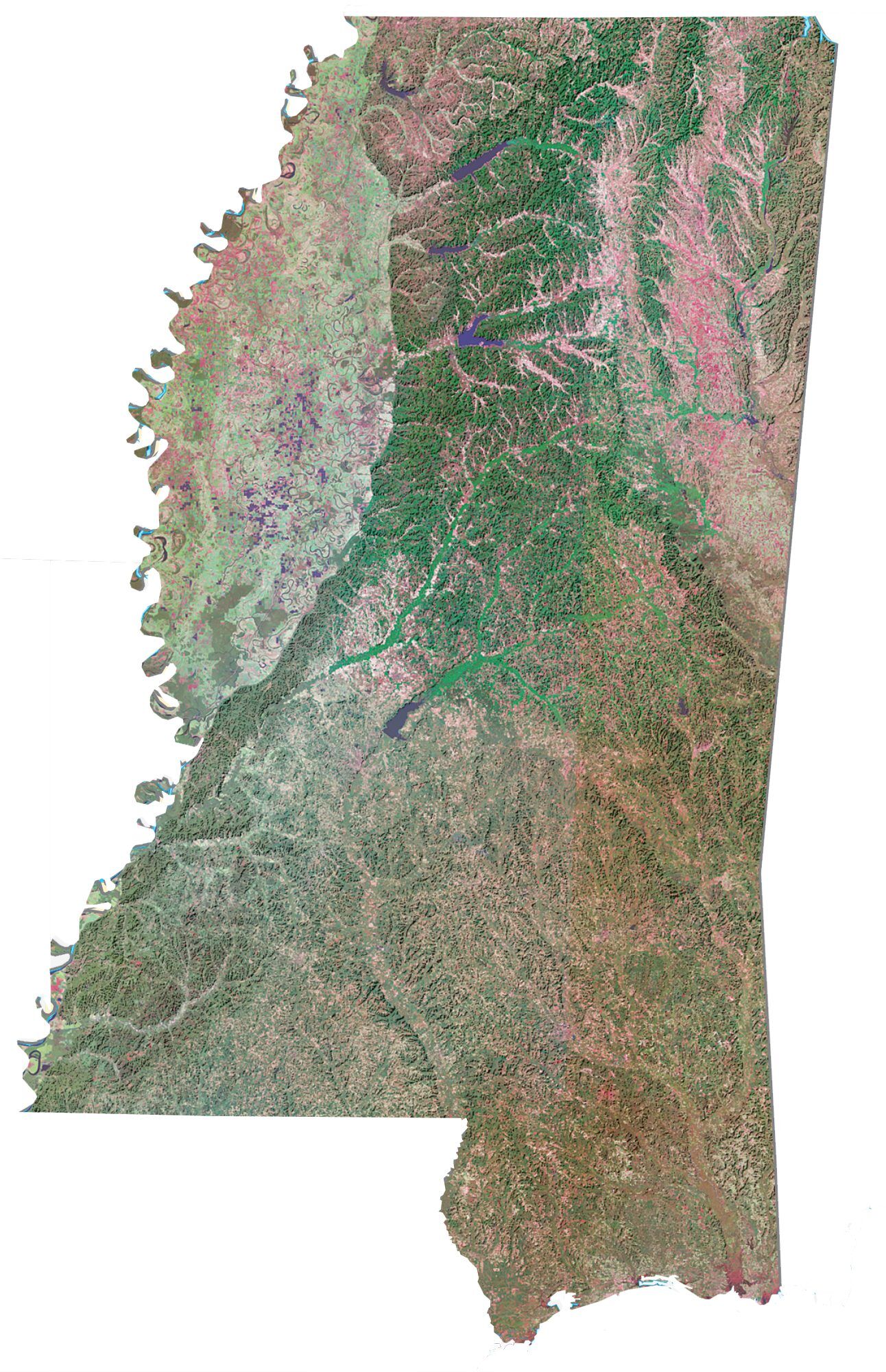
Mississippi
Jackson
Hattiesburg
Biloxi
Vicksburg
Greenville
Tupelo
Mississippi River
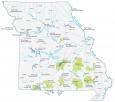
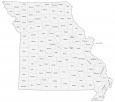
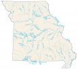
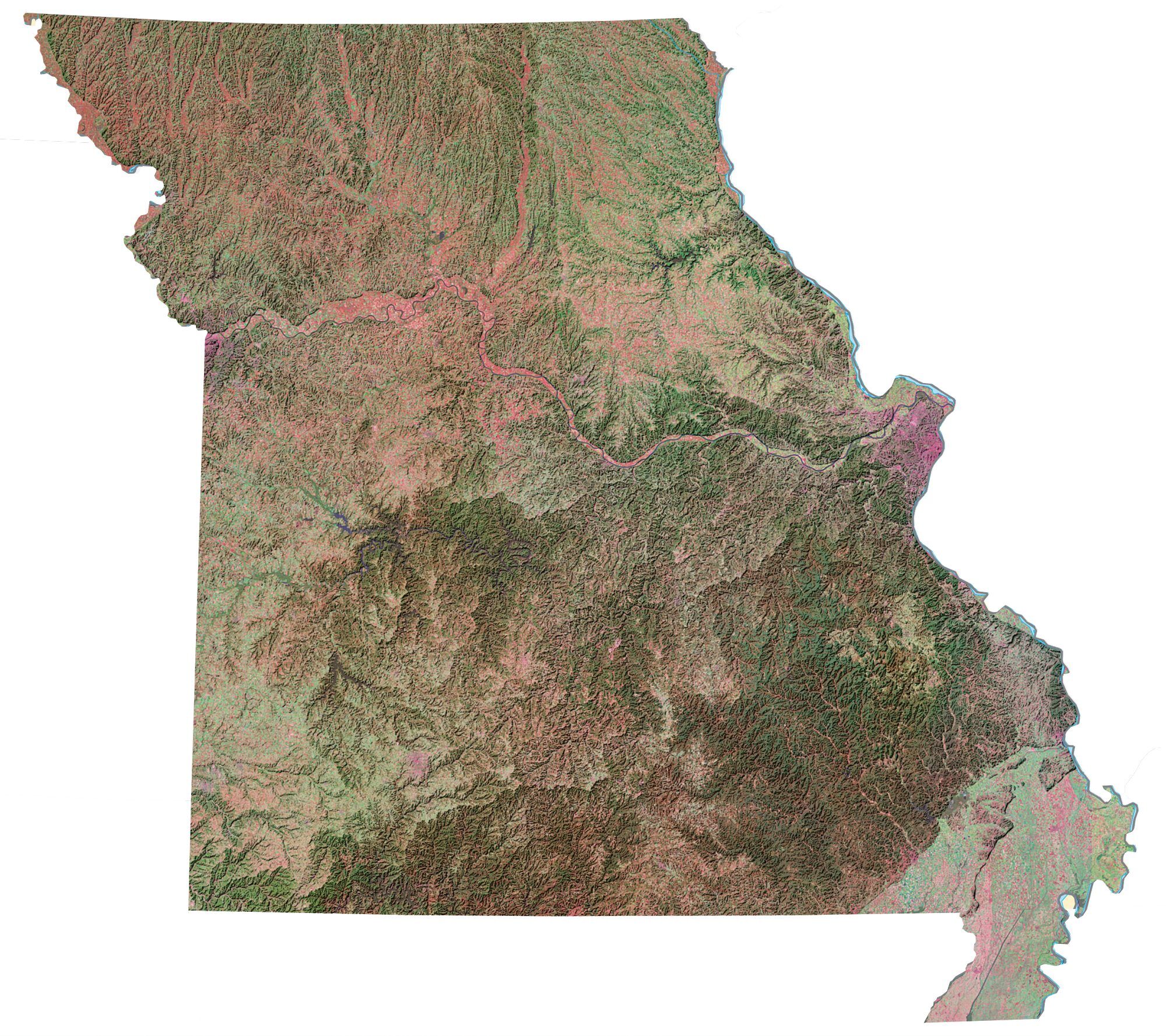
Missouri
Jefferson City
St. Louis
Kansas City
St. Joseph
Columbia
Springfield
Missouri River
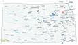
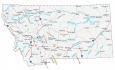
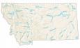
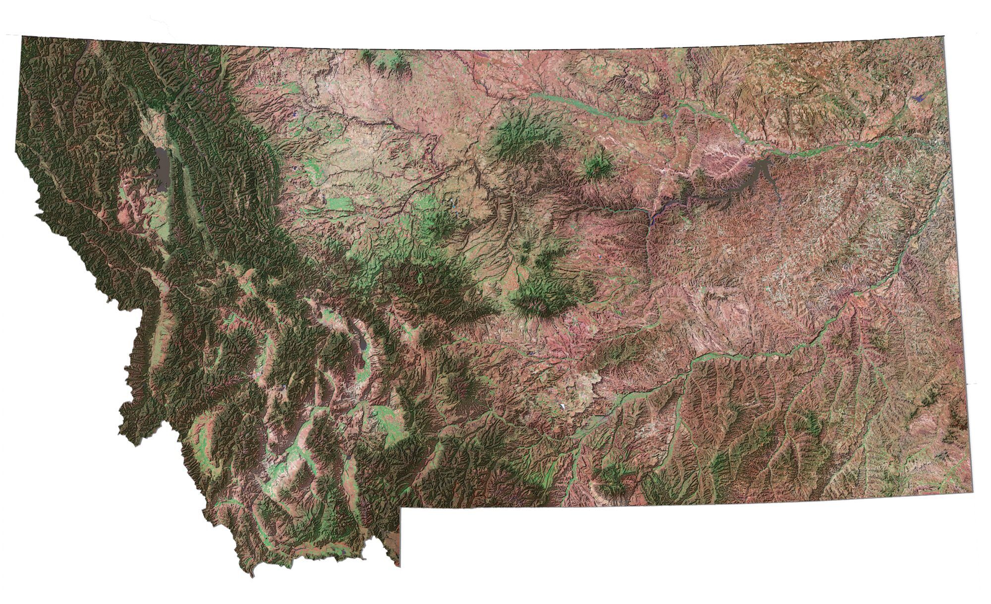
Montana
Helena
Kalispell
Missoula
Butte
Great Falls
Bozeman
Havre
Billings
Glasgow
Miles City
Missouri River
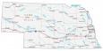
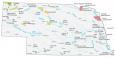
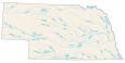
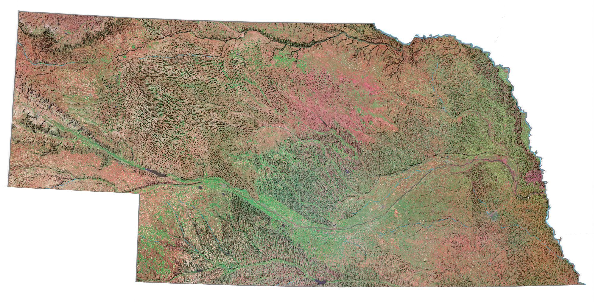
Nebraska
Omaha
Lincoln
Norfolk
Chadron
Scottsbluff
Sidney
North Platte
McCook
Sioux City
Missouri River
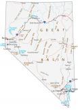
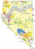
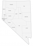
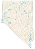
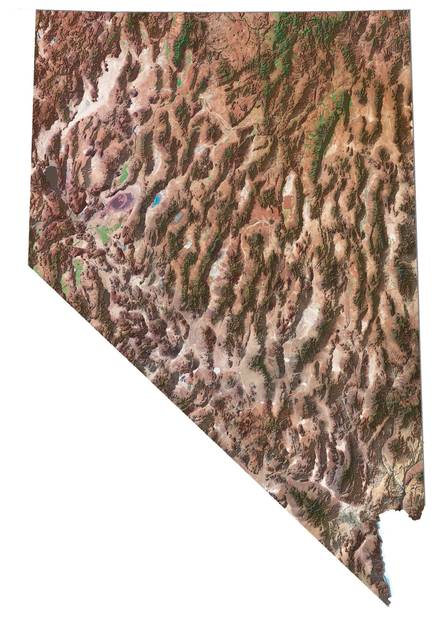
Nevada
Reno
Las Vegas
Carson City
Winnemucca
Elko
Ely
Boulder City
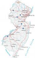
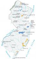
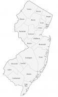
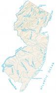
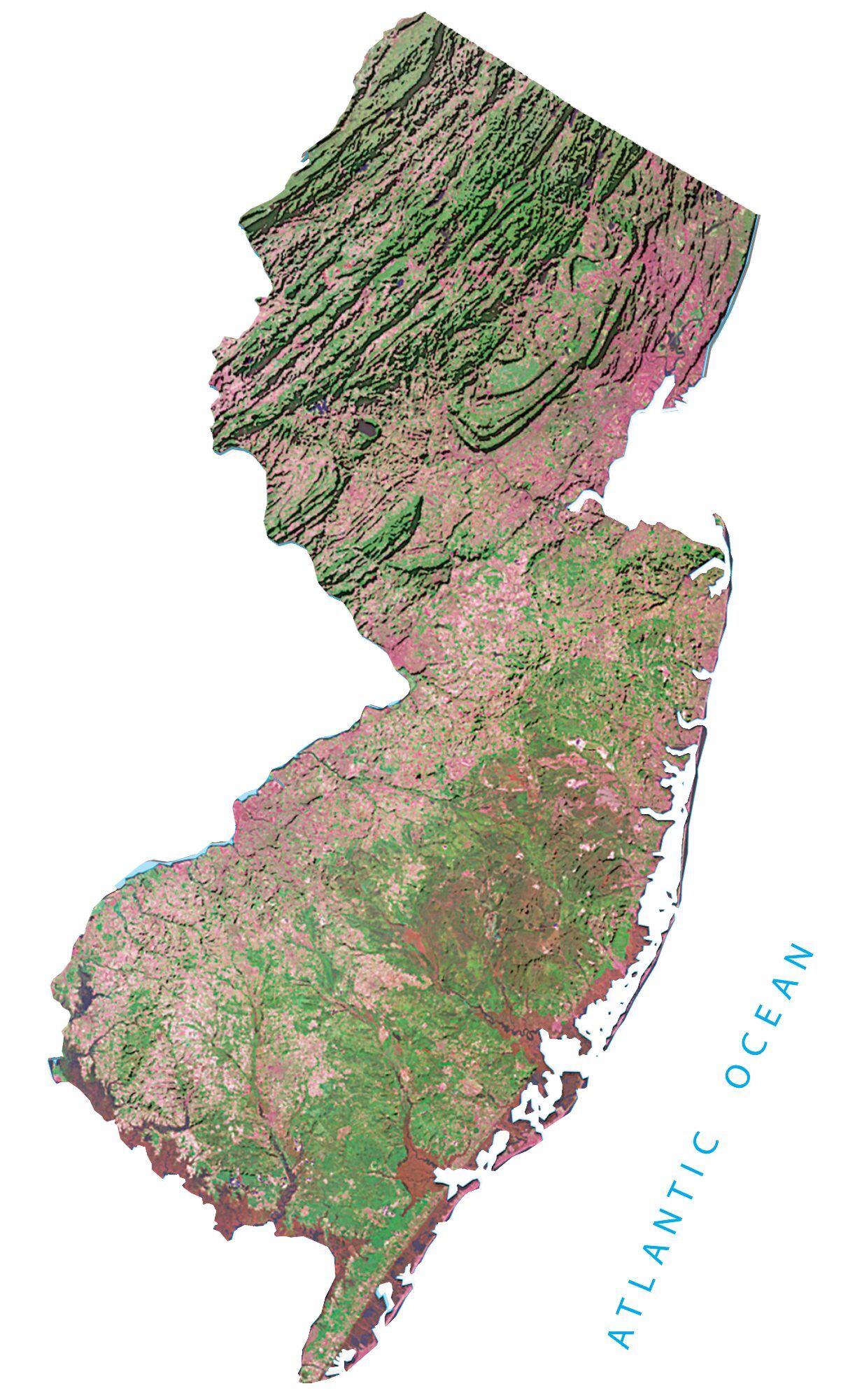
New Jersey
Trenton
Atlantic City
Cape May
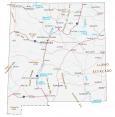
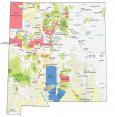
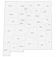
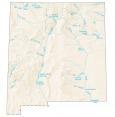
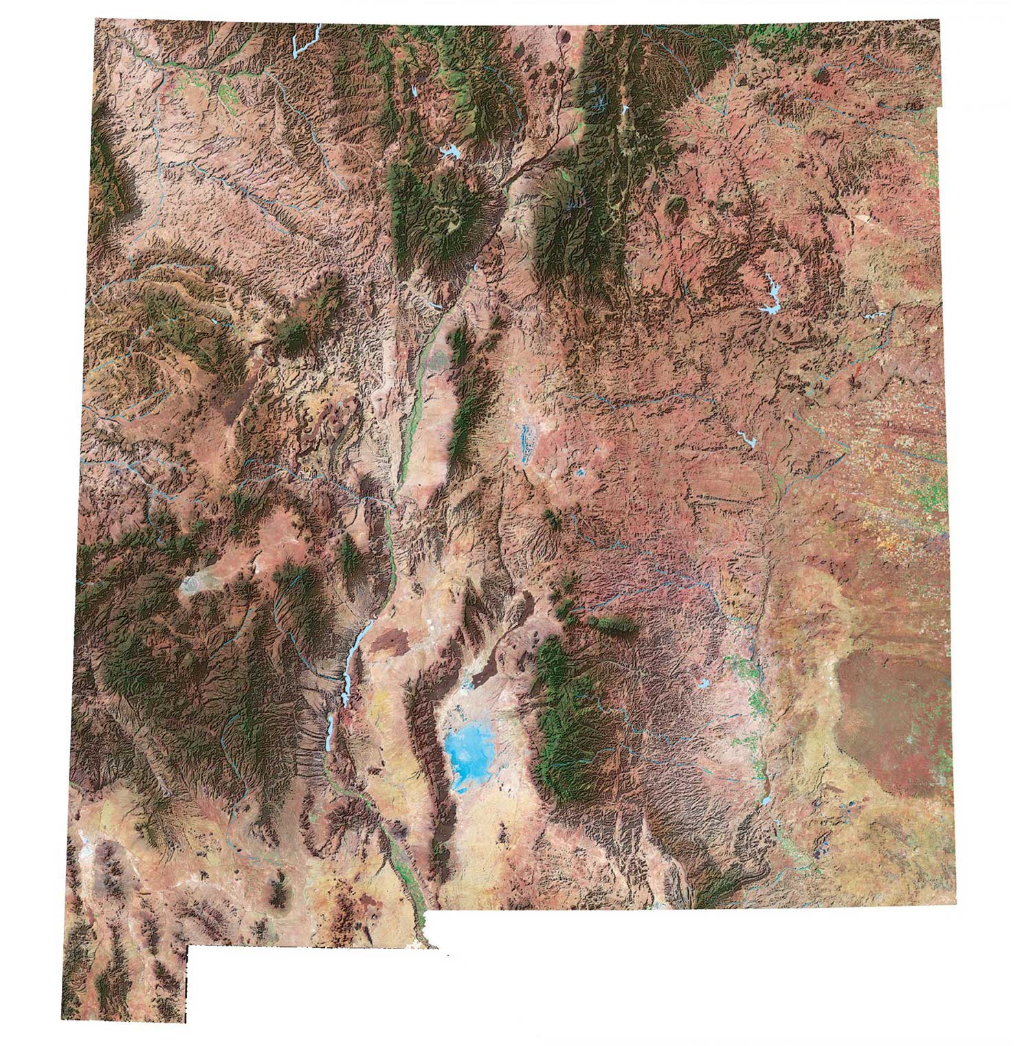
New Mexico
Santa Fe
Albuquerque
Los Alamos
Raton
Gallup
Tucumcari
Clovis
Roswell
Alamogordo
Las Cruces
Carlsbad
Rio Grande
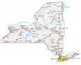
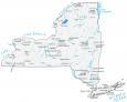
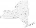
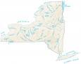
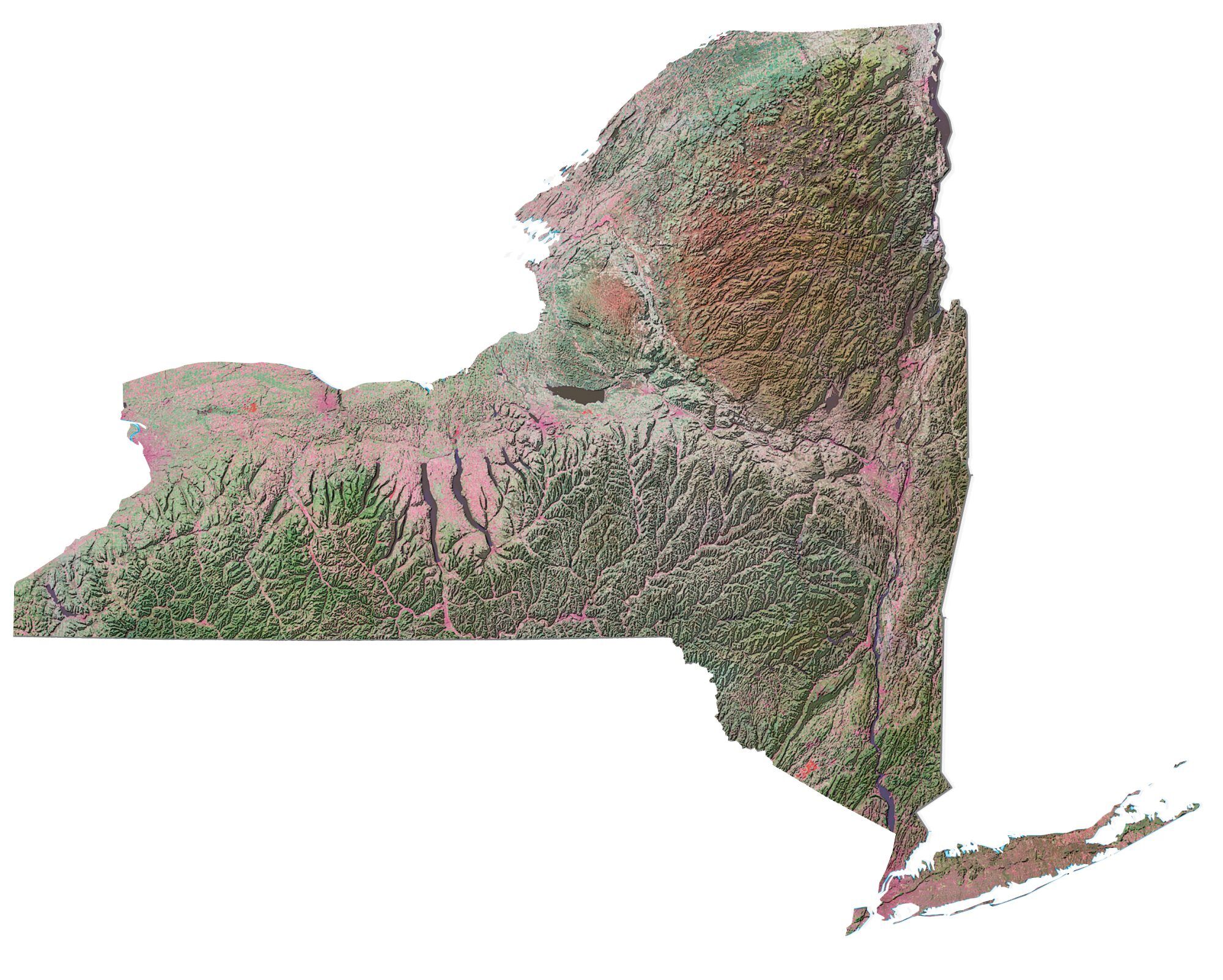
New York
Albany
New York City
Buffalo
Rochester
Syracuse
Long Island
Watertown
Ithaca
Jamestown
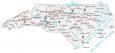
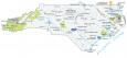
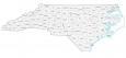
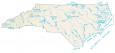
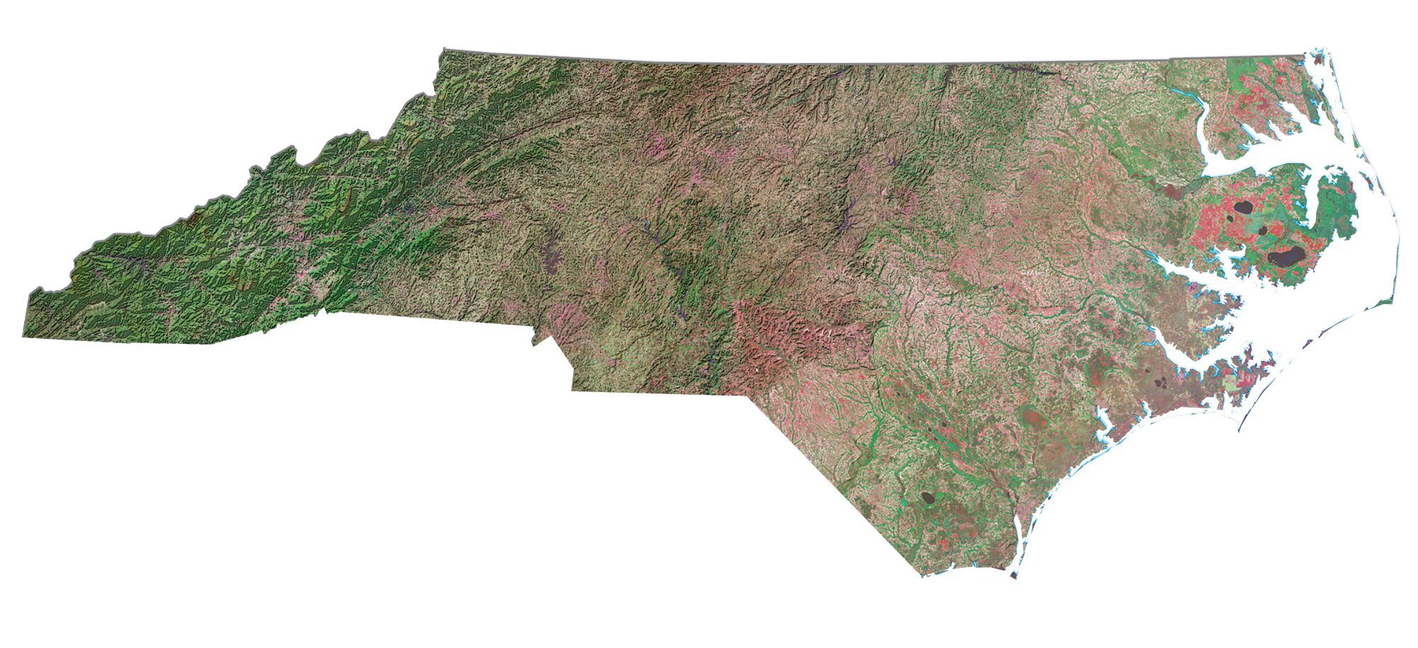
North Carolina
Raleigh
Charlotte
Wilmington
Fayetteville
Asheville
Greensboro
Greenville
Pamlico Sound
Cape Hatteras
Cape Fear
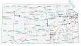
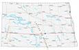
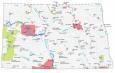
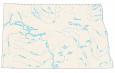
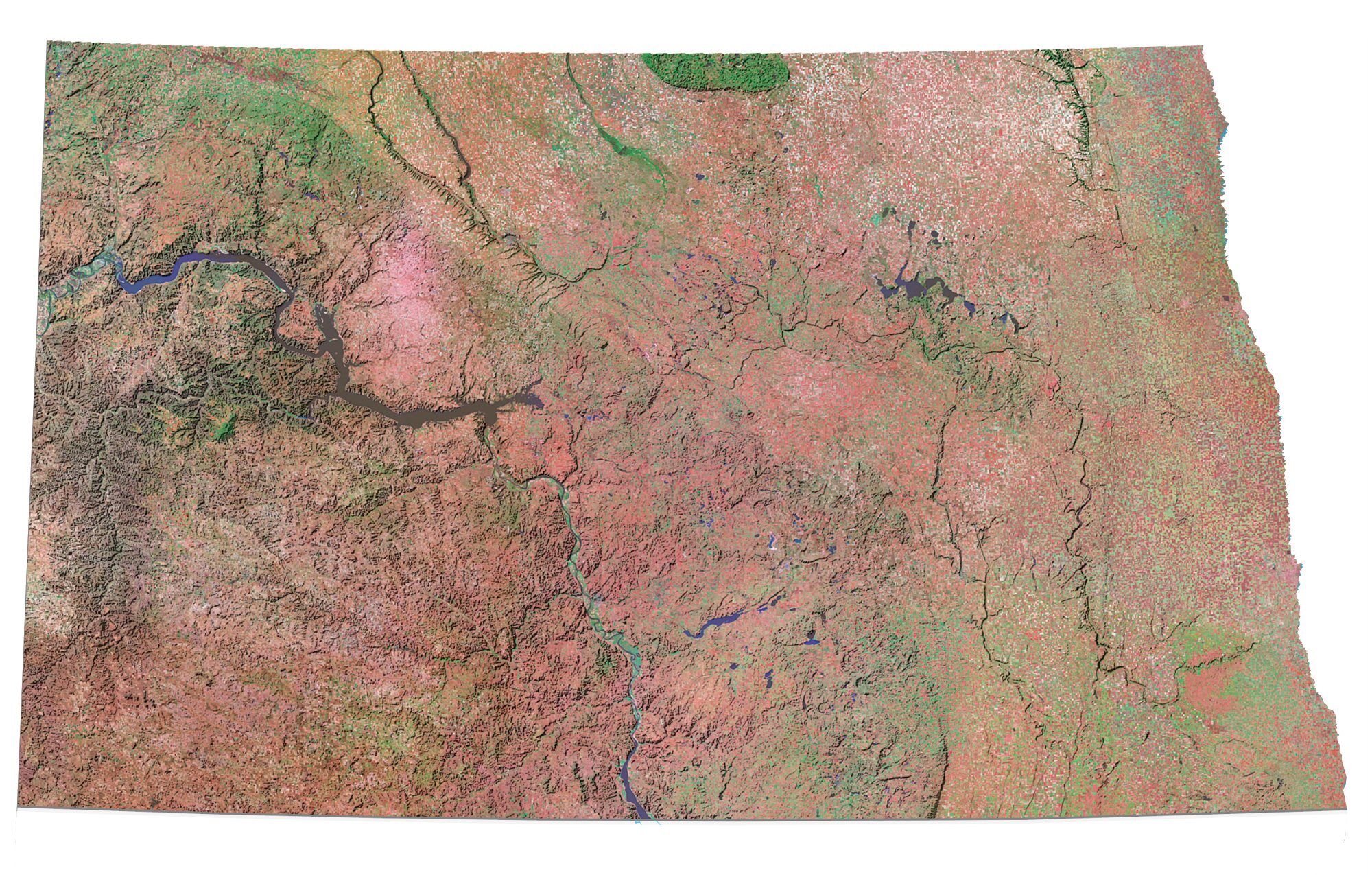
North Dakota
Bismarck
Fargo
Grand Forks
Minot
Williston
Dickinson
Jamestown
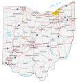
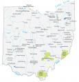
Ohio
Columbus
Cincinnati
Cleveland
Dayton
Toledo
Lima
Youngstown
Canton
Youngstown
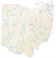
Ohio River

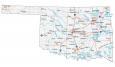
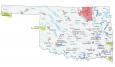
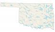
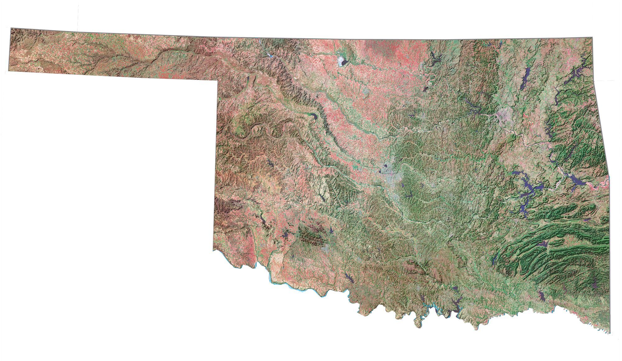
Oklahoma
Oklahoma City
Tulsa
Guymon
Woodward
Ponca City
Lawton
Arkansas River
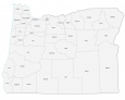
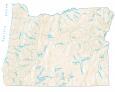
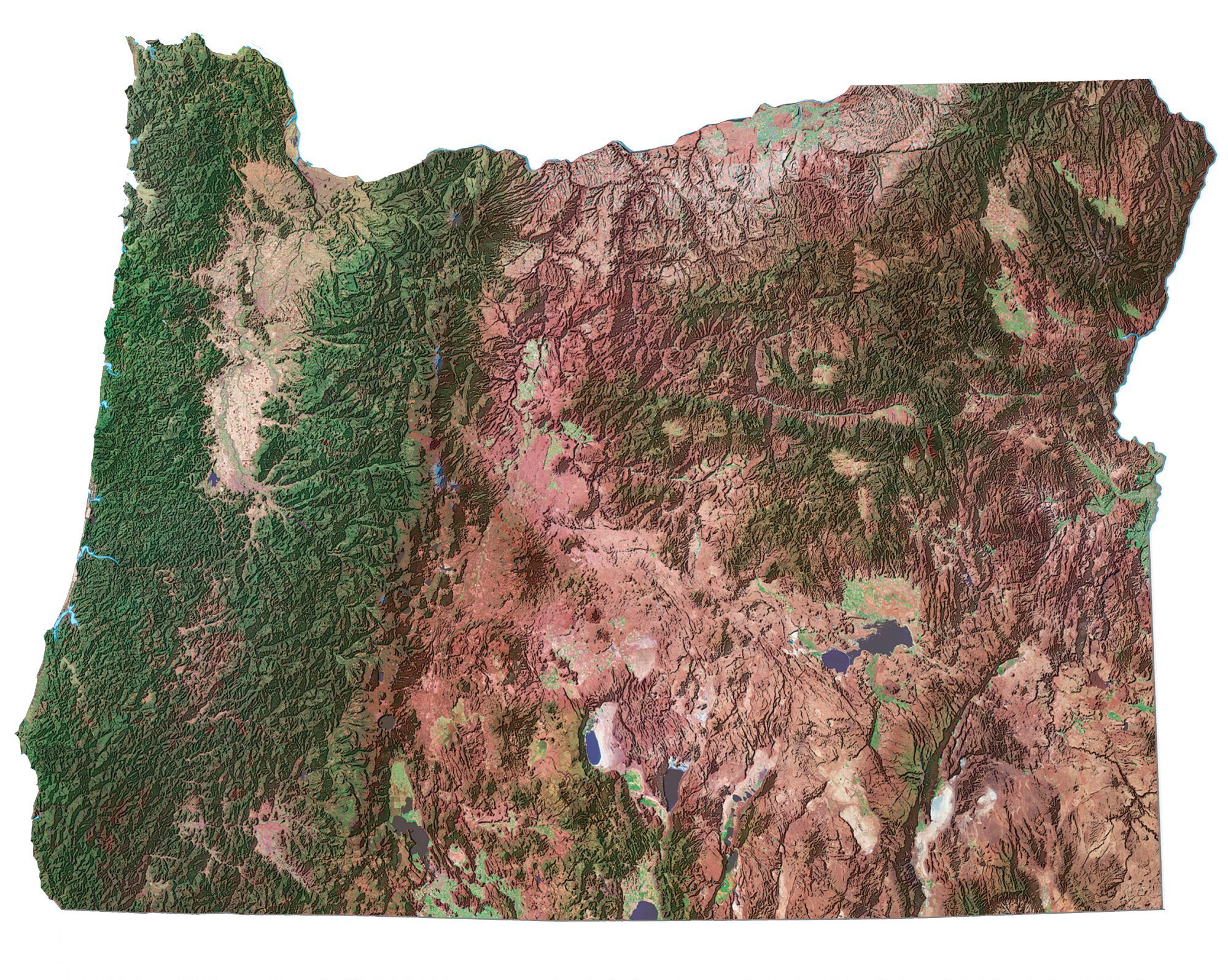
Oregon
Salem
Portland
Eugene
Coos Bay
Astoria
Roseburg
Grants Pass
Medford
Klamath Falls
Bend
Pendleton
John Day
Columbia River
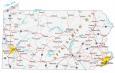
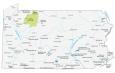
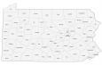
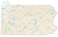
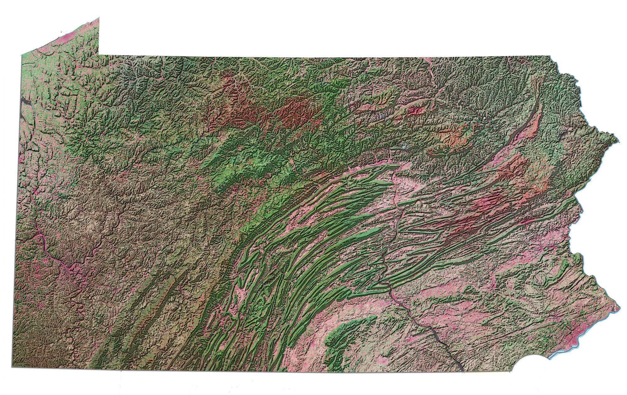
Pennsylvania
Harrisburg
Pittsburgh
Philadelphia
Scranton
York
State College
Erie
Ohio River
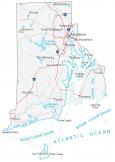
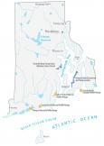
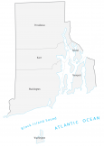
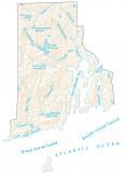
Rhode Island
Providence
Newport
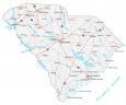
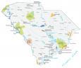
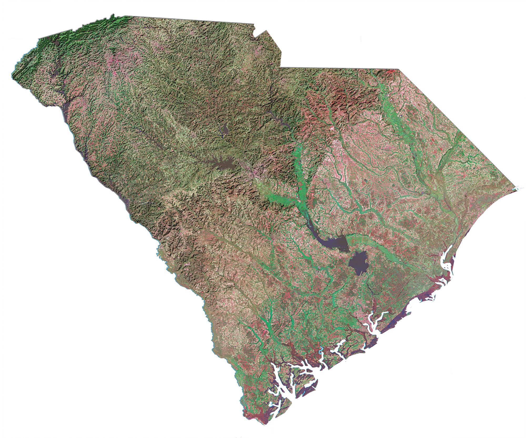
South Carolina
Columbia
Charleston
Myrtle Beach
Beaufort
Sumter
Aiken
Anderson
Greensville
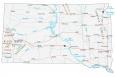
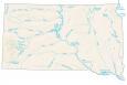
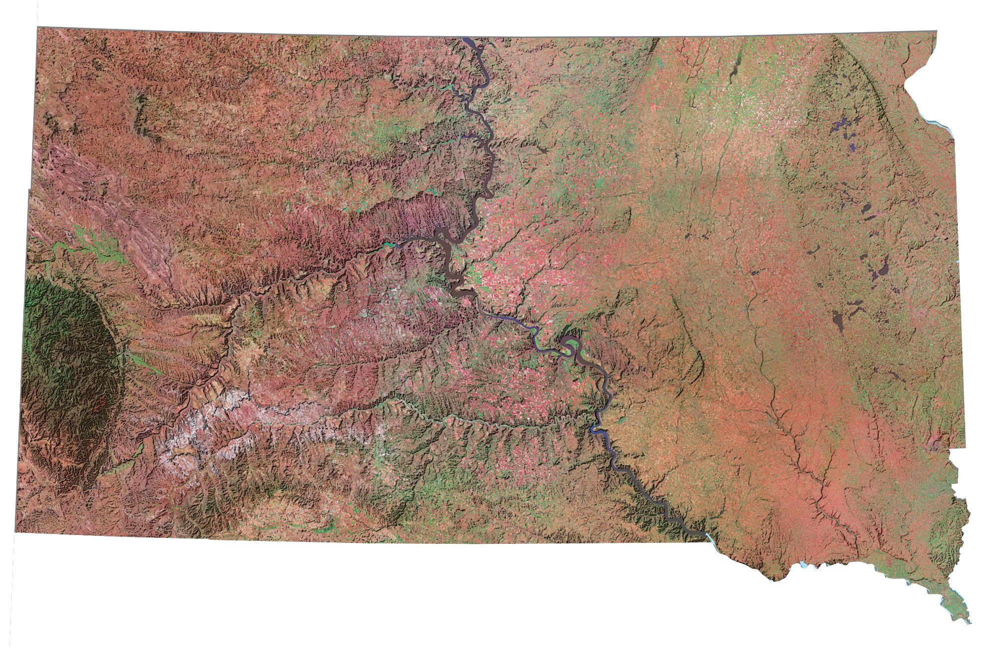
South Dakota
Pierre
Sioux Falls
Rapid City
Mobridge
Aberdeen
Mitchell
Brookings
Missouri River
Tennessee
Nashville
Memphis
Knoxville
Chattanooga
Jackson
Murfreesboro
Mississippi River
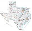
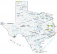
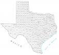
Texas
Austin
Houston
Dallas
San Antonio
Corpus Christi
El Paso
Fort Worth
Amarillo
Dumas
Lubbock
Odessa
Pecos
Abilene
Wichita Falls
Sherman
Denton
Tyler
Waco
San Angelo
Fort Stockton
Nacogdoches
Huntsville
Killeen
Galveston
Freeport
Del Rio
Eagle Pass
Victoria
Laredo
Kingsville
Texarkana
Edinburg
Brownsville
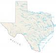
Rio Grande

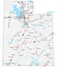
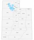
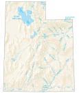
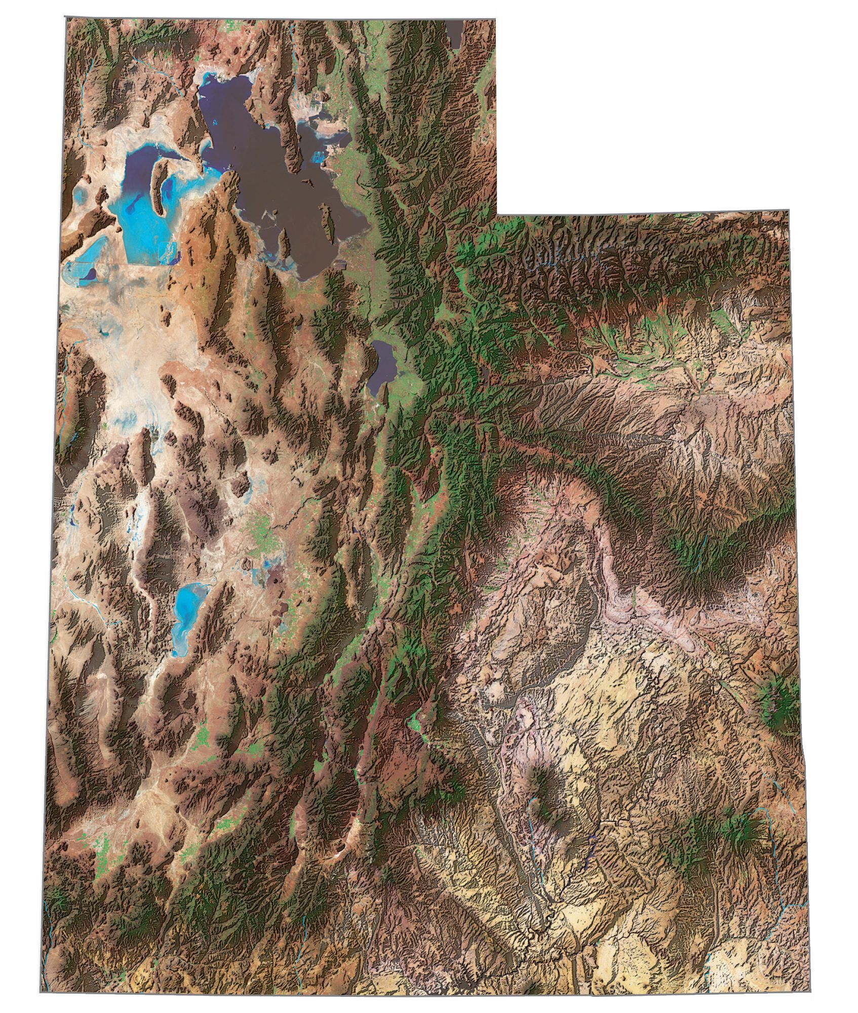
Utah
Salt Lake City
Logan
Provo
Price
Vernal
Moab
Monticello
Cedar City
St. George
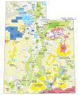
Great Salt Lake

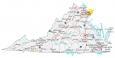
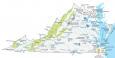
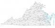
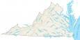
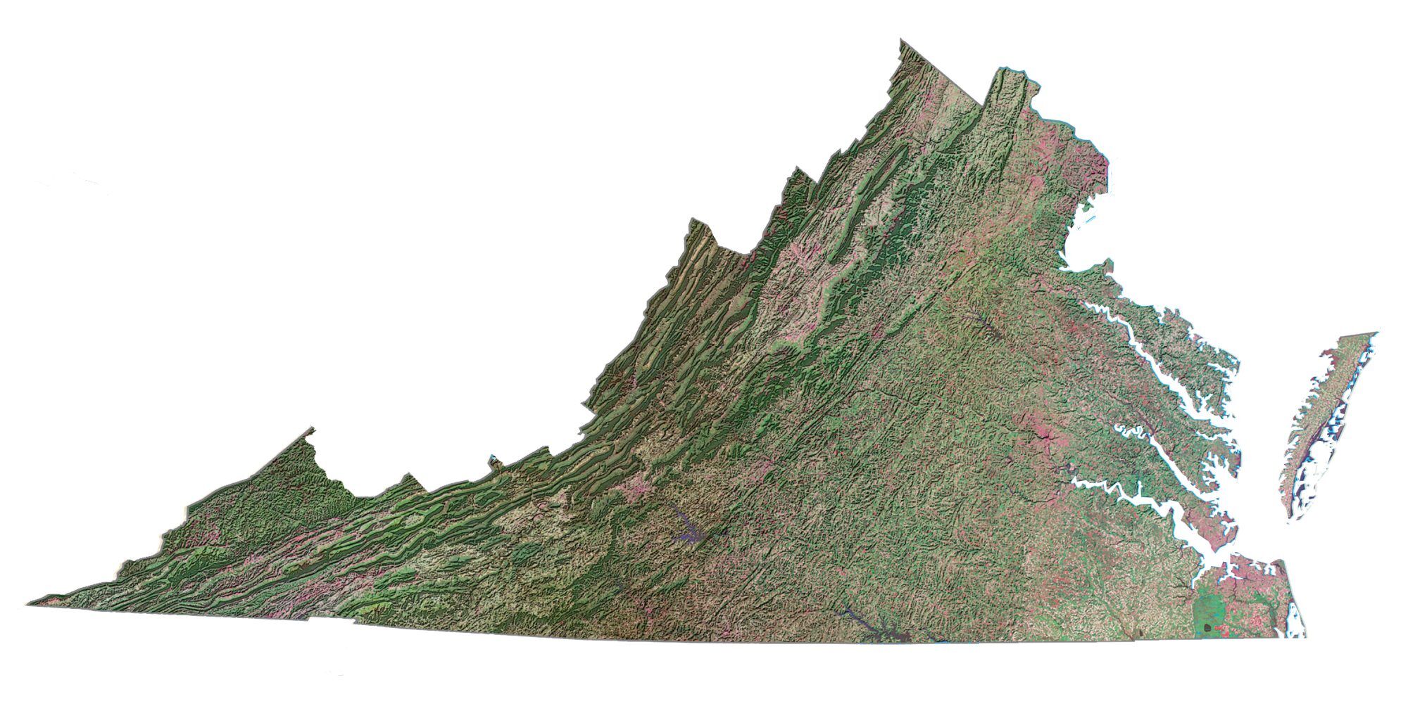
Virginia
Richmond
Norfolk
Virginia Beach
Lynchburg
Danville
Roanoke
Bristol
Charlottesville
Winchester
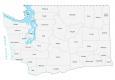
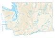
Washington
Olympia
Seattle
Spokane
Tacoma
Aberdeen
Longview
Vancouver
Yakima
Wenatchee
Richland
Columbia River

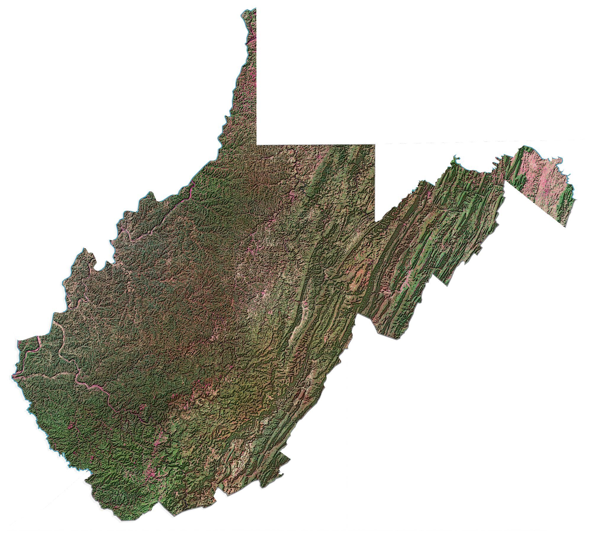
West Virginia
Charleston
Beckley
Huntington
Wheeling
Morgantown
Ohio River
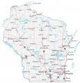
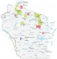
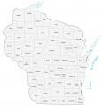
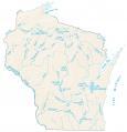
Wisconsin
Madison
Milwaukee
Green Bay
Rhinelander
Wausau
Marinette
Oshkosh
Racine

Wyoming
Cheyenne
Cody
Thermopolis
Gillette
Riverton
Casper
Green River
Rawlins
Douglas
Laramie
Hello,
Waukegan is in Illinois and Racine is in Wisconsin. It looks as though you switched the two on your map of the U.S.
Cheers!
Thanks for the information. I’ve made these updates to the states of Illinois and Wisconsin
Also, satellite map links for VA & NV actually show the Lakes & Rivers map so the satellite is missing for these two states. Also, the AL satellite map is tiny.
Thanks again for the heads up! These have all been fixed too. Let me know if you see anything else. I didn’t realize about these incorrect links.
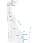
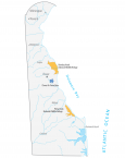
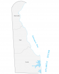
Great maps. Thank you. However, Oregon is missing a Road & Cities map and CT, DE, KS, and RI are missing Satellite maps.
Thanks, Dan. I added our map of Oregon. Unfortunately, we don’t have satellite maps for CT, DE, KS, and RI (yet). I will be adding them later this year.
Thanks for the map
Where can I purchase this map?
Happy New Year!
Thank you very much for your good information on this site. I am very, very interested in America and I love democracy and its progress. I wish to travel to this great country one day and see its beautiful places.
Wishing you and your colleagues the best
You might want to take a look at the state abbreviation you’ve used for Arizona on your USA Map with States and Cities bcse it’s not right. You put AR when it should be AZ. You did get Arkansas right, so at least there’s that.
Happy New Year 🥳