3 Advantages of Paper Maps Over Digital Maps
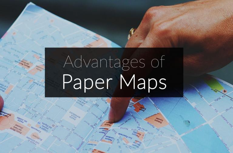
Advantages of Paper Maps
In the digital cartography age, it’s easy to overlook traditional paper maps.
Nowadays, they’re becoming obsolete like old floppy disks.
But they still serve their purpose in our day in age.
Here are 3 advantages of paper maps over their digital counterparts.
1. Paper maps don’t run out of battery power
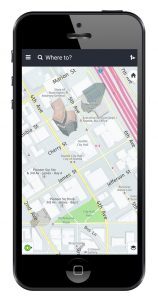
GPS receivers are great for navigation and getting to where you want to go. But in a survival situation, paper maps provide a reliable backup to GPS receivers, smartphones, or tablets.
It’s in those gridlock situations where you lose battery power or your signal, that paper maps can be a savior. Coupled with a compass, you can orientate where you are.
Unfortunately, it’s getting harder to find paper maps. For instance, you can’t find a Road Atlas at your grocery store anymore.
2. Set up and markup is easier
When you’re in the field, it’s sometimes just easier to mark up a paper map. Then, you can digitize it in the office and worry about it afterward.
Setup of field apps like Esri Collector + Survey123 or QField takes time and expertise. You have to prepare all the layers, and even for offline usage
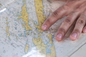
But paper maps are quick and easy to get ready. When you laminate a paper map, it becomes waterproof. Then, you can roll it up in your backpack and use it during a rainstorm.
3. Paper maps give you better spatial awareness
Over-reliance on GPS has eroded away our spatial awareness. You become more focused on your phone, and less on your overall surroundings.
When you follow directions from GPS apps or navigation systems, you don’t gain a full understanding of your environment. Instead, you become dependent on technology.
Despite its convenience, GPS receivers make us less aware of our surroundings. The broader scale and greater details in paper maps give us an advantage in geographic perception.


What happens when Google Maps goes down? With no paper maps in the glovebox, where will that leave us?
Download an app that stores the entire US / North America / any country you are in. Then regardless of connectivity you always have navigation like paper available.
Google is not the end all in navigation.
Sorry, but you overlook something. GPS is great if you know where you are going. Most people have a fixed destination, a bored spouse, and/or bored kids repeatedly asking “are we there yet”
To some of us the destination is secondary. I travel by sports car or sport bike. I purposely take the route less travelled. A map gives you an overview of a large area. It allows you to choose a route.
GPS is useful absolutely, but it is not applicable in all situations. You make the assumption that someone who uses a map isn’t smart enough to use and understand modern technology. I suggest you continue to use GPS in your SUV as you travel the freeways. Please stay there with the other herd beasts. Let those of us who enjoy driving or riding take the route less travelled.
November of 2022, after having been a member of AAA for 33 years, I stopped at one of their offices to get a road map of Maryland in order for me to plan and detail travels for the next day. Nope, they didn’t have any. Okay, I made due with GPS and local recommendations. Upon arrival home, Southcentral PA, I stopped at the AAA office there. Nope, we’re not giving out maps anymore, nor Travel Guides and the clerk was anxious for me to leave. Thus I asked how much money will my membership be reduced by? I was told I still will pay $150 a year for the same membership status and insinuated I should know better than to ask why I should pay less when I get so much less. I did not renew for 2023. She passed on her poor attitude to me, a loyal 33 year member, who no longer is just a number. I’m curious to the amount of bonus the executives pocketed by reducing AAA membership services.
Yeh, Google Maps are never wrong. lol The one time I got really lost in my travels to every state in the US was the only time I used Google Maps, because my son had his phone with him. It told us to take a road which hadn’t been finished yet. We kept driving for over thirty miles, looking for the exit we were supposed to take, but it hadn’t been built yet. Finally went to a paper map, and immediately saw the problem, and found a side road to backtrack to where we were going. I’ve traveled every major road, and some crazy two lanes, from north to south, east to west, using my trusty Atlas and a couple AAA Trip Tiks. One of my favorites, the Pacific Coast Highway. But yeh, keep using your trusty smartphones to find your nearest Starbucks to get that 10 buck cup of coffee. :-)
Such arrogance! What are you going to do w/o a phone, signal, or rundown battery?
Let’s not forget about accessibility! Digital maps are great and I use them frequently…But not everyone is able to use them. Options need to be available to everyone – with various disabilities, paper maps are the best option. There are hundreds/thousands of different disabilities out there other than vision loss, hearing loss, and mobility loss, and all those people with disabilities have the right to the same information in whatever way they need to receive it. Digital accessibility has come a long way and continues to improve and I will continue to use them, but paper maps (at least for now) are absolutely necessary.
Anon, I think you missed the point. They still serve a purpose was the message here.
Are you looking to burn all the paper books too? Maybe get rid of board games because we have video games? Why walk at all if we have cars? Heck, might as well throw out my dishes, we can use IVs for nutrients, no?
Hello, I am looking for a map of The USA and Mexico together. I would like it to have the states for both highlighted.
Thank You,
Art
Each to their own. Full-time users doing a lap of Australia can wisely invest in digital maps and a Sat phone and a PIRB and the optimum cell phone service. All good if it all works in rugged terrain and paper maps will save you.
If you are an occasional traveler it seems hardly worth going digital when one up-to-date hard copy map will reliably suffice.
GPS is certainly nice to have and I use it regularly while driving and on my Garmin watch while hiking.
In my opinion paper maps is a necessity as a reliable backup.
I went camping this weekend and it turns out my phone couldn’t get a signal for many miles, my GPS was still tracking but I couldn’t set destinations and was in an area I had never been before. A paper map would have been nice to have! Needless to say, I just purchased a few maps!
Sorry, but once GPS were invented, paper maps are long phased out. How else do you think Google Maps exist for a reason? Even most newer cars have that via USB with a smartphone. Plus, Google Maps update streets and locations, paper maps can’t do so because they’re obsolete and outdated. For people still using paper maps… sooner or later you will learn to leave the past behind and move on to newer and better things. Facts are facts.