GISGeography
  • Analysis
  • Career
  • Datasets
  • Mapping
  • Sensors
  • Software
  • US Maps
  • World Atlas

Month: July 2016

Hexagon Geospatial - Intergraph Geomedia
Software

GeoMedia by Hexagon Geospatial (Review)
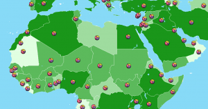
Companies, government and military are embracing GeoMedia because of its solution-driven approach and its uncanny ability to extract actionable information.

ERDAS Imagine - Earth Resource Development Assessment System
Software

ERDAS Imagine – Earth Resources Data Analysis System

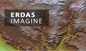
From passive to active remote sensing – photogrammetry to LiDAR, ERDAS Imagine loads you with all the necessary tools for more robust image analysis.
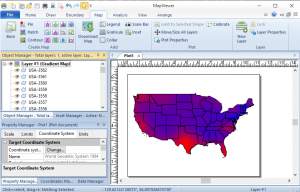
Golden Software MapViewer
Software

MapViewer by Golden Software (Review)

The emphasis for Golden Software MapViewer is on thematic mapping. So, if you want to use a variety of map types, then MapViewer is an ideal solution.

agriculture technology
GIS Career

Agriculture Technology: How GIS Can Help You Win the Farm

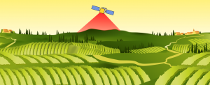
Today’s farmers use sophisticated agriculture technology because they can save time and money. Location-based GIS helps farmers solve the answer ‘where’.

GRASS GIS software
Software

GRASS GIS – Geographic Resources Analysis Support System

GRASS GIS (Geographic Resources Analysis Support System) is one of the oldest public domain GIS software in existence. It’s more than 30 years old.

great circle sphere
GIS Analysis

Why Are Great Circles the Shortest Flight Path?

Airplanes travel along the true shortest route in a 3-dimensional space. This curved route is called a geodesic or great circle route.


Subscribe to our newsletter:


RECENT POSTS
  • 5 Best Free LiDAR Software Tools and Applications
  • Best of GISGeography.com in 2020
  • How To Permanently Reorder Fields in ArcGIS
  • Mapbox Review: 5 Things We Like
  • What Exactly Is a GIS Specialist?
ABOUT US
  • About Us
  • Articles
  • How To Cite
  • Privacy Policy
  • Resources
  • Sitemap
  • Terms of Service
CATEGORIES
  • Analysis
  • Career
  • Cartography
  • Data Sources
  • LiDAR
  • Learn GIS
  • Map Collections
  • Remote Sensing
  • Software
Follow Us

twitterrss

GIS Store

GISGeography.com

css.php