How to Track the Spread of Viruses Using GIS
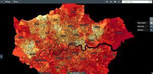
Everyday, communities are at risk of transmissible diseases and growing pandemics like COVID-19. We use GIS to track the spread of viruses in real-time maps.

Everyday, communities are at risk of transmissible diseases and growing pandemics like COVID-19. We use GIS to track the spread of viruses in real-time maps.
Mango Map is ideal for casual users who don’t want a fancy map. This web mapping platform is easy to get a hang of at a reasonable price.

Geodata is location data stored in a Geographic Information System (GIS). By using geographic data, we better tackle problems that require spatial thinking.
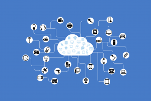
The Internet of Things (IoT) connects billions of sensors from around the world, enabling the exchange of information between them.
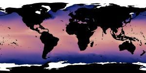
AVHRR (Advanced Very High Resolution Radiometer) spatial resolution is actually very coarse at 1.1 km. But its revisit times are “very high” at just one day.