Spectral Signature Cheatsheet in Remote Sensing
Every object has its own unique composition. This is equivalent to it having its own spectral signature. Choose the spectral bands for ideal classification

Every object has its own unique composition. This is equivalent to it having its own spectral signature. Choose the spectral bands for ideal classification
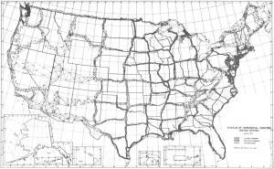
Meade’s Ranch was the focal point of the NAD27 with all positions relative to it. First-order triangulation was used with approximately 26,000 survey points