Time in Maps: 10 Types of Temporal Maps
Some maps are timeless. While others, well, they have time in them. This list of 10 ways to show time in maps for temporal maps.
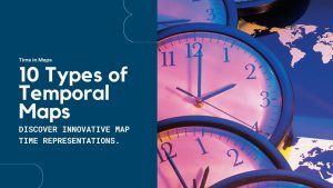
Some maps are timeless. While others, well, they have time in them. This list of 10 ways to show time in maps for temporal maps.
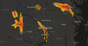
Noise pollution mapping is a way to show how loud different places are. It uses data to make maps that highlight noisy and quiet areas.
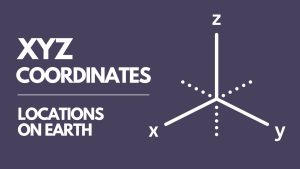
XYZ coordinates represent a point’s location in three-dimensional space. X and Y are its position on the earth’s surface. Z is elevation.
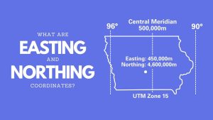
Northing and easting coordinates work together for positioning on maps. They create a grid system on maps, allowing us to pinpoint locations.
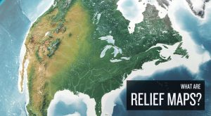
Relief maps are ways to display the Earth’s terrain. It shows the differences in height, like mountains and valleys, using colors and shadows.
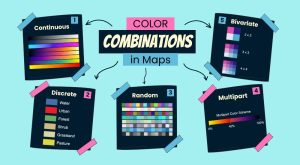
Color combinations in maps can make a big difference. They help us understand the map better and help readers grasp information quickly.
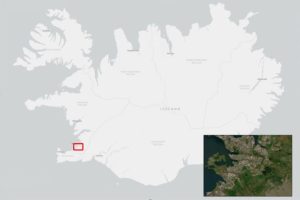
Inset maps (or locator maps) are small maps within a larger one. It shows more details of a part or gives an overview of a specific area.
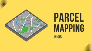
Parcel mapping is key for managing land and planning cities. In GIS, we use tools like parcel viewers and COGO for creating precise mapping.
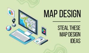
Building maps is both an art and a science. We’re diving into the world of map design. Steal these design ideas to elevate your skills.
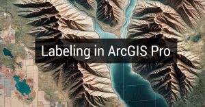
I have a love-hate relationship with labeling in ArcGIS Pro. I love that it adds clarity to my maps. But I hate that it can be really tedious.