How to Cite
You are free to use our images for personal and educational uses only where indicated on the GISGeography website. Otherwise, you can contact us for us to give you permission to use any graphics on the website.
Some images are served in WebP format. If you would like the original JPG or PNG image, please contact us and we can provide you with a higher quality original image.
Websites, blogs, e-books, newsletters
For any website, blog, e-book, or newsletter, you must place an attribution hyperlink below or next to the image that is being used. The link must be back to the original source page from the GISGeography.com website.
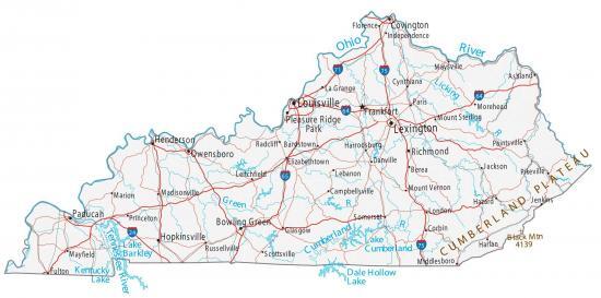 Source: Kentucky Map
If you cannot add it next to the image, we recommend that you place it in the footer of your website, blog post, or newsletter. Please see the examples below for how to add a proper citation below images.
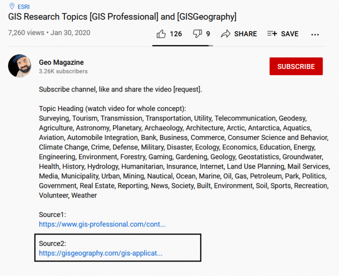
Research and journal articles
According to Google Scholar, GISGeography.com has had 1000+ citations using it as a reference source. Here are some examples of how we’ve been cited that are acceptable for you to use:
Printed material
For any printed material including posters, books, magazines, maps, etc, we recommend placing the attribution next to the image that is being used.
Here is an example:
If this is not possible, you can place it somewhere on the printed product you are creating, but it has to be visible for the clients/users. If you cannot add the attribution on the cover or page itself, you should place it on the credits page or include it in the bibliography.
Videos or mobile apps/games
If you use any images in a YouTube video, add attribution text in the form of a hyperlink in the video description box. You must also include a reference in any video credits to the source of the graphic. At the very least, attribution must be made in the credits or text description of the video or mobile app/game.
Need more information?
If we still haven’t answered your question, please use our contact us page for further information. We are always here to help with all aspects of mapping and GIS.