Remote Sensing
Learn the concepts of remote sensing analysis and image classification with a focus on satellites, LiDAR, and drones.

Feature

What is Remote Sensing? The Definitive Guide
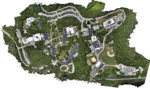
Remote sensing is the science of obtaining information without physically being there. The 3 most common methods of capture is airplane, satellite & drones.


Satellites

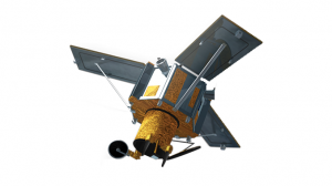

Landsat 9: A Legacy of Earth Observation
In order to continue the Landsat program’s long-standing legacy, NASA and the USGS launched Landsat-9 in September 2021 as the 9th satellite.
LiDAR
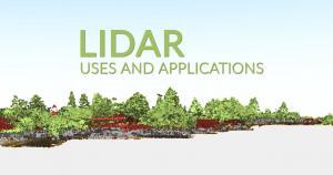
A Complete Guide to LiDAR: Light Detection and Ranging
How would you like to wave your magic wand and find out how far everything is away from you? No magic wands necessary. This is how LiDAR works.


Remote Sensing Analysis


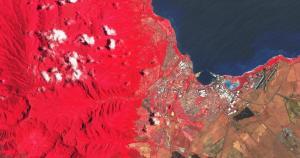
What is NDVI (Normalized Difference Vegetation Index)?
NDVI quantifies vegetation health using near-infrared (which is reflected by vegetation) and red light (which is absorbed by vegetation).
Remote Sensing Types
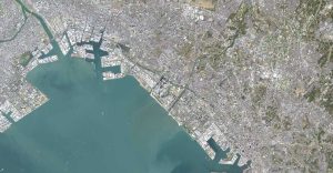
What is Remote Sensing? The Definitive Guide
Remote sensing is the science of obtaining information without physically being there. The 3 most common methods of capture is airplane, satellite & drones.
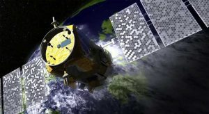
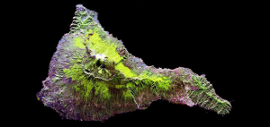
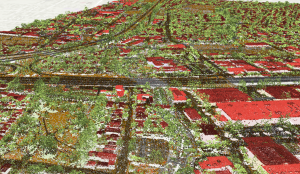
Image Classification

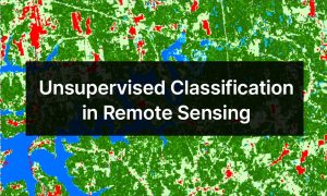

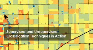

Image Classification Techniques in Remote Sensing [Infographic]
We look at the image classification techniques in remote sensing (supervised, unsupervised & object-based) to extract features of interest.
Global Positioning Systems
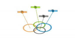
How GPS Receivers Work – Trilateration vs Triangulation
Have you ever wondered how your GPS receiver works? They use a technique called trilateration, which measures distances, not angles as in triangulation.

Remote Sensing Software


15 Best Remote Sensing Software
Whether you’re a professional geographer or just a hobbyist, this list of remote sensing software available will help you get the job done.