Learn GIS – An Introduction to GIS
What is GIS?
Learn how to perform GIS analysis with vector and raster data. This section covers all the basics you need to know to get started in GIS.
First, it includes a complete guide to Geographic Information Systems. Second, it contains a glossary of all the most common terms in GIS. Finally, it has a list of 1000+ applications and uses in GIS.
GIS Analysis
Learn how to perform GIS analysis with vector and raster data. This section covers all the basics you need to know to get started with geospatial analysis. See exactly how to use geoprocessing tools, edit data, and transform your tables into geographic information.
Career
Learn how to accelerate your career in GIS with training, certification, and job opportunities. We have sources for you to tap into to help you get your foot in the door with a GIS job.
Geodata

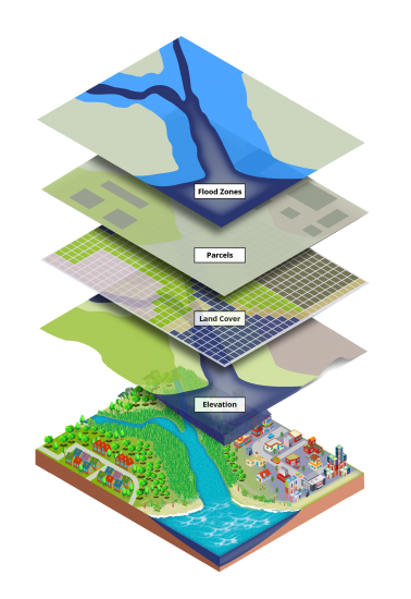
Learn how to tap into the different sources of GIS data and satellite imagery available. This section covers raster and vector data types, GIS file formats, and databases.
Cartography
Learn how to make the most out of your maps and to build unbeatable maps. You’ll learn all the different map types, cartographic elements, and example maps.
Map Projections

Learn how to make the most out of your maps and to build unbeatable maps. You’ll learn all the different map types, cartographic elements, and example maps.
Remote Sensing

Learn how to make the most out of your maps and to build unbeatable maps. You’ll learn all the different map types, cartographic elements, and example maps.
GIS Software
Learn how to make the most out of your maps and to build unbeatable maps. You’ll learn all the different map types, cartographic elements, and example maps.


I would like to know more about training.
This application includes skill and training for databases and analysis. GIS application is widely available that requires higher-skilled for data analysis. GIS in land cadastral protects parcels boundary’s as good for topology.
Need Information
Thank you so much
I want to know more about the training.
Thanks.
Very neat, precise and helpful and absolute winner among all the GIS content available.
Very useful, thanks for your information.
Your articles are always good! Simple straightforward language. Thank you for this resource.