Leeward Islands Map Collection
This map collection presents the Leeward Islands, a chain of islands in the Caribbean Sea with five maps of different views.
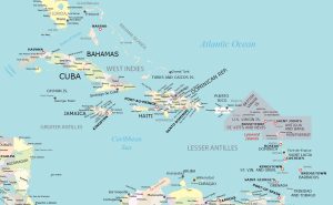
This map collection presents the Leeward Islands, a chain of islands in the Caribbean Sea with five maps of different views.
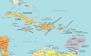
Our windward islands map highlights the locations of capital cities, islands, and countries for clear, simplified geographical reference.
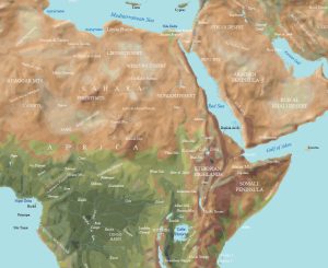
Today, we’ll provide you with our Horn of Africa map collection. Each map is free to download and use for any purpose.
Our Baltic Peninsula map includes the surrounding countries around the Baltic Sea including political, physical, and administrative maps.
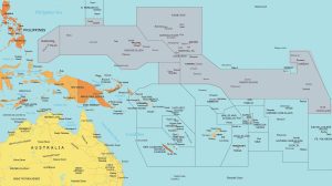
We’ve created two maps of Micronesia. Our maps include a detailed map with island names and a physical map with ocean bathymetry.
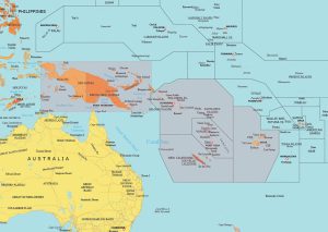
Do you need a free map of Melanesia? Well, you’re in luck because we have two separate maps (1) political map and (2) physical map.
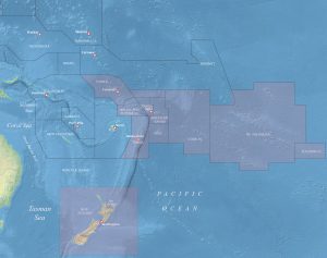
Our map of Polynesia comes in two versions. First, we have a political map with capitals, cities, and countries. We also have a physical map.
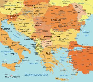
This map collection of the Balkan States (or simply the Balkans) showcases this geographical region in Southeast Europe.
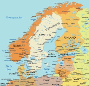
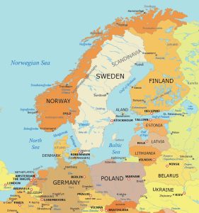
Looking for a map of Scandinavia? Our Scandinavia map collection offers you 5 free maps of this region. Each highlights different aspects.
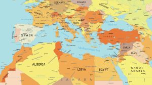
Step into the geography of the Mediterranean Sea. Positioned between Europe, Africa, and Asia, explore with our Mediterranean Sea map.