Free Points of Interest (POI) GIS Data
Looking for points of interest that you can use for your maps? Don’t worry we got you covered with our list of free POI GIS data sources.
Looking for points of interest that you can use for your maps? Don’t worry we got you covered with our list of free POI GIS data sources.

Does Yahoo Maps still exist? There was a time when Yahoo Maps was a force to be reckoned with. But since June 2015, that time is now gone.
We’ll teach you all the differences between KMZ vs KML. We’ll also show you how to convert them into both file formats in Google Earth.

As-built drawings are like a diary of a building. They show every detail during construction until completion. They’re the final snapshot.

A Triangular Irregular Network (TIN) is a way to represent a 3D surface. They can show complex surfaces such as slopes and elevation.

Explore the world from new heights with aerial imagery. In this article, you’ll learn about our top seven sources of aerial photographs.
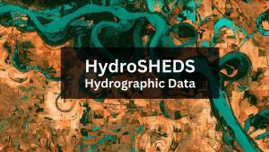
HydroSHEDS is a free GIS data source (sub-basins, rivers, lakes, waterfalls, and more) for water resources management and decision-making.

These 3 unmanned aerial vehicle (UAV) data platforms provide us with access to high-quality and free drone imagery in geospatial format.
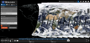
From near real-time satellite views to live feeds, this article aims at showing you how to view a live satellite map of the world.
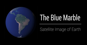
This article explains the 5 versions of the Blue Marble (Apollo 17 was the first) and how you can download each NASA satellite image of Earth.