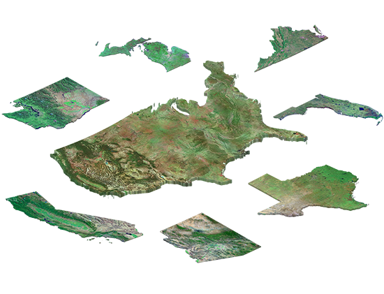
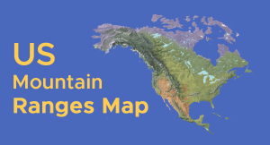
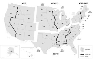
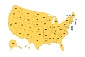
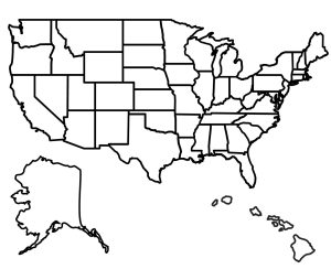
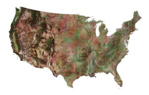
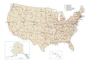
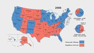
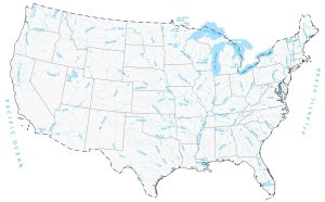
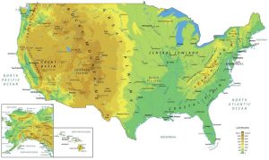
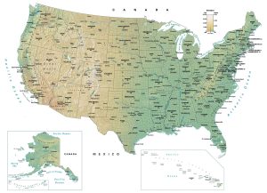
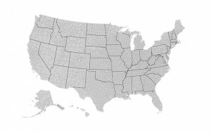
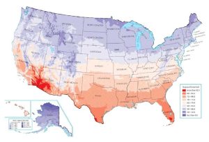
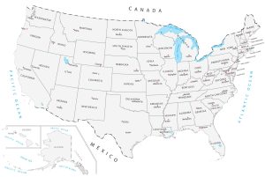
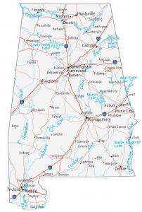
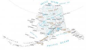
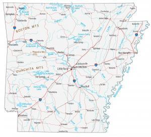
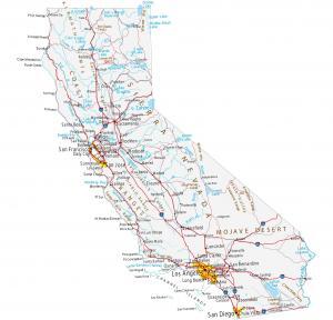
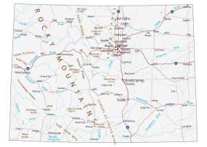
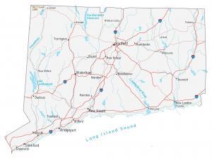
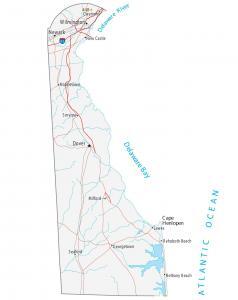
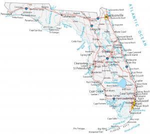
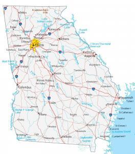
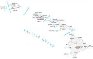
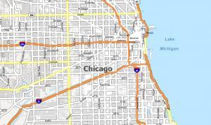
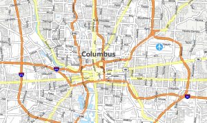
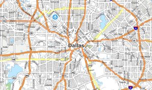
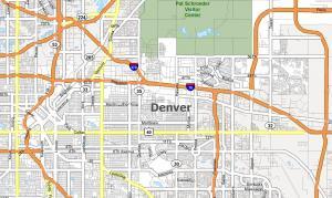
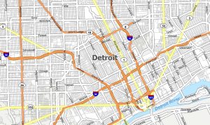
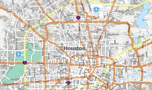
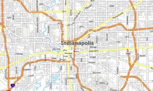
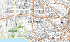
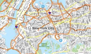
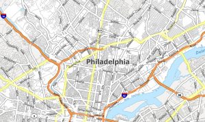
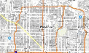
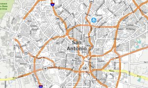
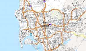
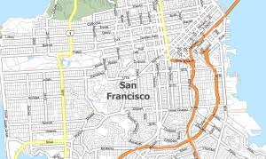
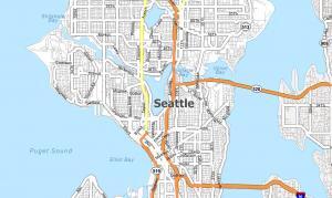
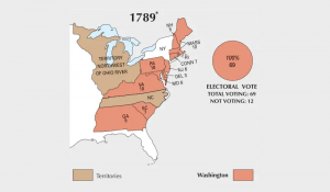
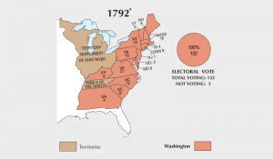
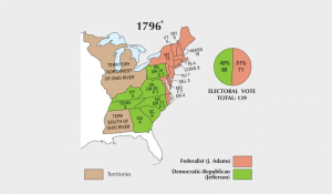
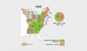
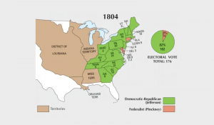
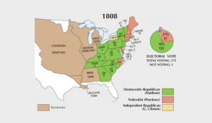
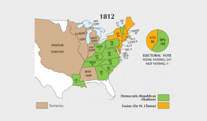
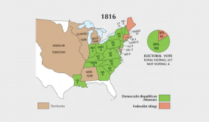
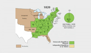
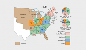
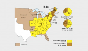
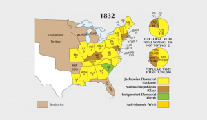
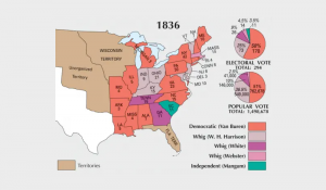
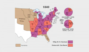
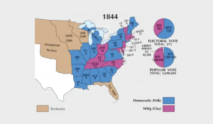
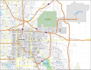
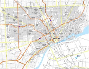
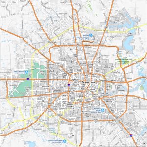
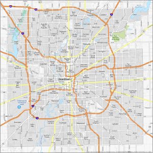
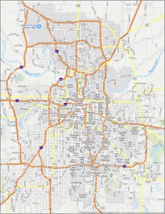
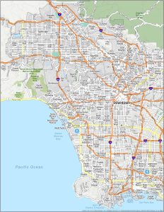
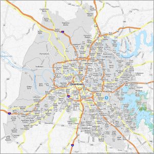
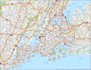
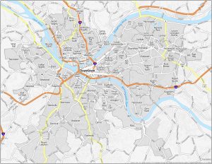
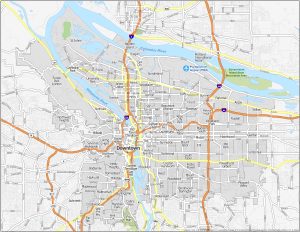
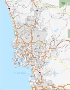
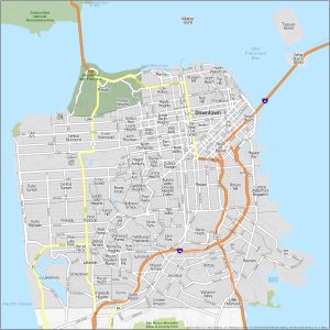
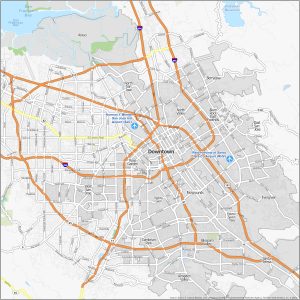
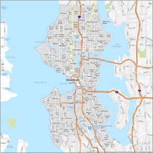
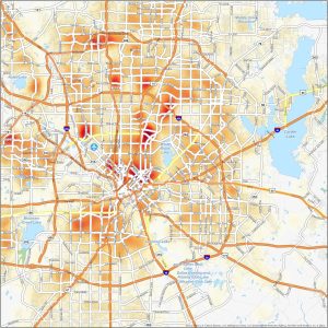
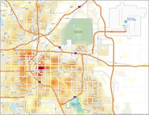
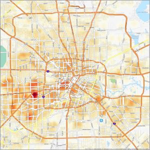
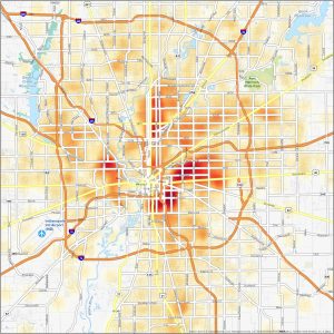
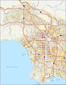
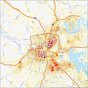
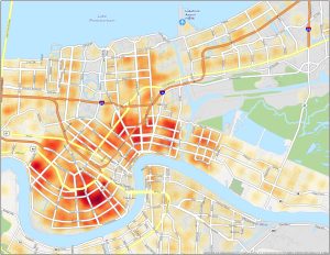
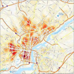
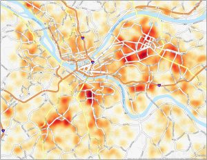
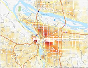
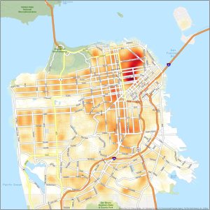
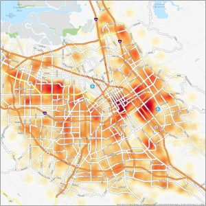
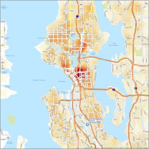
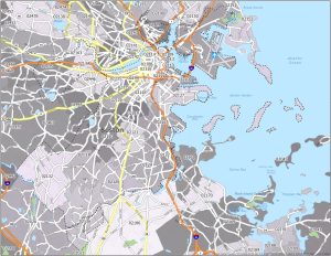
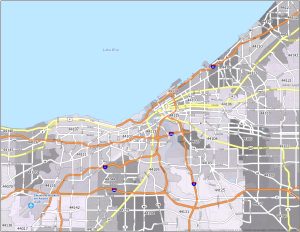
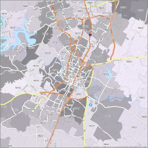
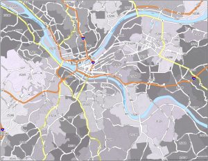
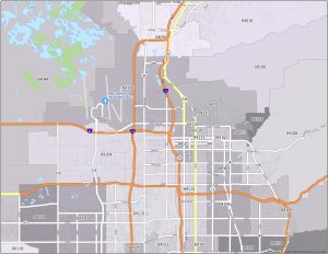
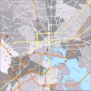
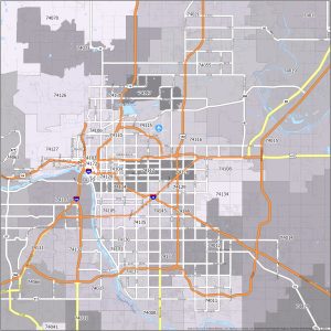
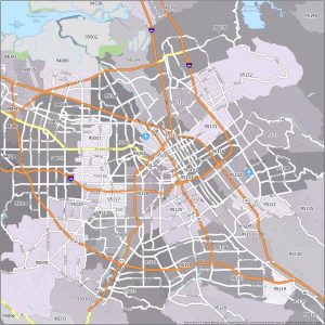
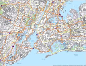
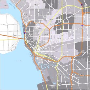
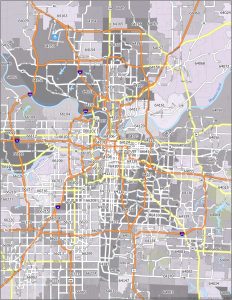
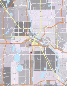
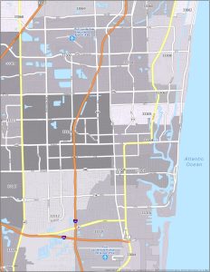
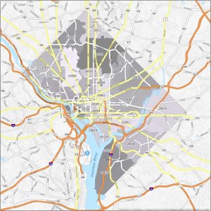
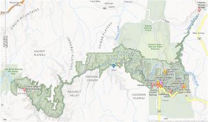
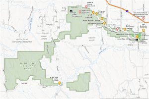
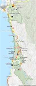
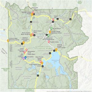
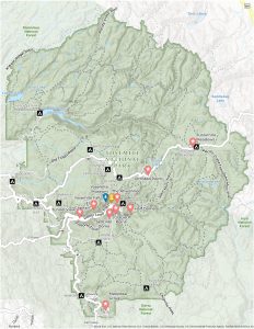
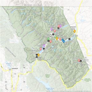
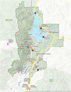
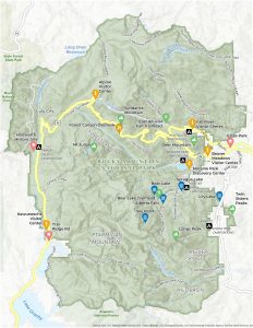
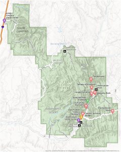
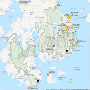
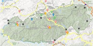
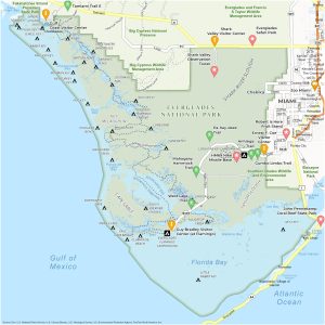
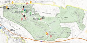
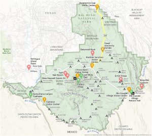
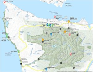
US Maps A US map collection with road maps, lakes, rivers, counties, and major landmarks. Select from the 50 states of the USA. US MAPS STATES CITIES ELECTION NEIGHBORHOOD CRIME ZIP CODE PARKS US Map Collection 10 US Mountain Ranges MapUS Regions MapUS Map Collection: The 50 States of AmericaState Outlines: Blank Maps of the 50 United StatesSatellite Map of USA – United States of AmericaUS Road Map: Interstate Highways in the United StatesThe Presidential Election Map Collection of AmericaMap of the United States of AmericaLakes and Rivers Map of the United StatesPhysical Map of the United StatesThe United States Map Collection: 30 Defining Maps of AmericaMap of USA – United States of AmericaUS County Map of the United StatesUS Temperature MapUnited States Map with Capitals See All US Maps ▸ US State Maps Map of Alabama – Cities and RoadsMap of Alaska – Cities and RoadsMap of Arkansas – Cities and RoadsMap of California – Cities and HighwaysMap of Colorado – Cities and RoadsMap of Connecticut – Cities and RoadsMap of Delaware – Cities and RoadsMap of Florida – Cities and RoadsMap of Georgia – Cities and RoadsMap of Hawaii – Islands and Cities US Highway Maps ▸ US City Maps Map of Chicago, IllinoisMap of Columbus OhioMap of Dallas, TexasMap of Denver, ColoradoMap of Detroit, MichiganMap of Houston, TexasIndianapolis Map, IndianaMap of Los Angeles, CaliforniaMap of New York CityMap of Philadelphia, PennsylvaniaPhoenix Arizona MapMap of San Antonio, TexasMap of San Diego, CaliforniaSan Francisco Map, CaliforniaMap of Seattle, Washington All US City Maps ▸ US Election Maps US Election of 1789 MapUS Election of 1792 MapUS Election of 1796 MapUS Election of 1800 MapUS Election of 1804 MapUS Election of 1808 MapUS Election of 1812 MapUS Election of 1816 MapUS Election of 1820 MapUS Election of 1824 MapUS Election of 1828 MapUS Election of 1832 MapUS Election of 1836 MapUS Election of 1840 MapUS Election of 1844 Map US Election Maps ▸ US Neighborhood Maps Denver Neighborhood MapDallas Neighborhood MapDetroit Neighborhood MapHouston Neighborhood MapIndianapolis Neighborhood MapKansas City Neighborhood MapLos Angeles Neighborhood MapNashville Neighborhood MapNew York City Neighborhood MapPittsburgh Neighborhood MapPortland Neighborhood MapSan Diego Neighborhood MapNeighborhood Maps of San FranciscoSan Jose Neighborhood MapSeattle Neighborhood Map All Neighborhood Maps ▸ City Crime Maps Dallas Crime MapDenver Crime MapHouston Crime MapIndianapolis Crime MapLos Angeles Crime MapNashville Crime MapNew Orleans Crime MapNew York City Crime MapPhiladelphia Crime MapPittsburgh Crime MapPortland Crime MapSan Francisco Crime MapSan Jose Crime MapSeattle Crime Map US Crime Maps ▸ US Zip Code Maps Indianapolis Zip Code MapBoston Zip Code MapCleveland Zip Code MapAustin Texas Zip Code MapPittsburgh Zip Code MapSalt Lake City Zip Code MapBaltimore Zip Code MapTulsa Zip Code MapSan Jose Zip Code MapNew York City Zip Code MapBuffalo Zip Code MapKansas City Zip Code MapMinneapolis Zip Code MapFort Lauderdale Zip Code MapWashington DC Zip Code Map All Zip Code Maps ▸ National Parks Maps Grand Canyon National Park MapBadlands National Park MapRedwood National Park MapYellowstone National Park MapYosemite National Park MapGlacier National Park MapGrand Teton National Park MapRocky Mountain National Park MapZion National Park MapAcadia National Park MapGreat Smoky Mountains National Park MapEverglades National Park MapJoshua Tree National Park MapBig Bend National Park MapOlympic National Park MapNational Parks Maps ▸