Learn GIS and Geography
Want to learn GIS? How about geography? You’ve come to the right place.

What Is Terrestrial Laser Scanning?


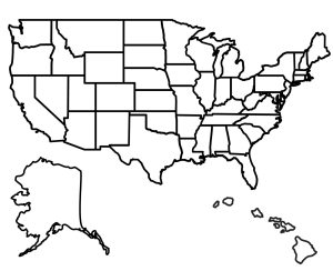
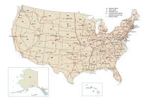
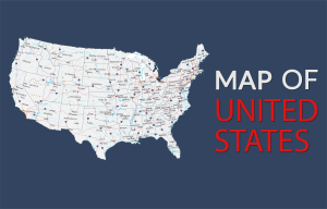
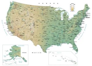
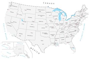
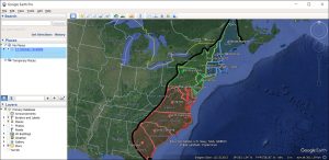
US Map Collection
Administration
Administrative areas such as counties, parishes, and boroughs.
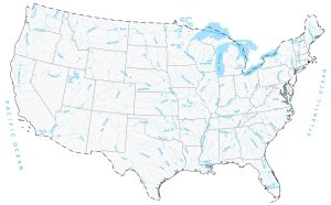
Lakes and Rivers
Hydrographic features for lakes, rivers, and oceans.
-
What Is Central Place Theory?
Central Place Theory is a way to understand why cities and towns are where they are. Walter Christaller developed this theory in the 1930s.
-
BIM – Building Information Modeling
BIM, or Building Information Modeling, is a smart way to design buildings. It creates virtual 3D models about the its materials and systems.
-
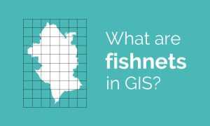
Fishnets in GIS: An Overview
GIS supports various ways to explore spatial relationships. Among these, fishnets stand out for their utility in spatial analysis.
-
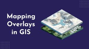
Mapping Overlays in GIS
Mapping overlays in GIS work like stacking different layers on top of each other. Each layer represents a different data type.
-
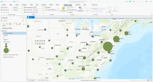
Point Clustering in ArcGIS Pro
Point clustering groups nearby points into clusters so you can interpret a high density of points. Learn how to use clustering in ArcGIS Pro.
-
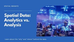
Spatial Analytics vs Spatial Analysis
Spatial analysis focuses on finding spatial patterns and trends. Spatial analytics enables predictions by using AI and machine learning.

-
Best of GISGeography.com in 2024
At the end of every year, we countdown our top 10 pieces of content for what you like most. Here’s what tops the list with our “best of 2024”.
-
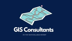
The Life of a GIS Consultant
A GIS consultant often works based on billable hours. This means they get paid for the time they spend working on a project.
-
The Geospatial Industry: Past, Present and Future
The geospatial industry is all about maps and location. It helps us know where things are and where to go. Learn all about it today.
-
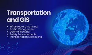
GIS in Transportation
GIS in transportation enables better planning, operation, and decision-making. We use network analysis tools to understand how anything flows.
-
GEOINT – Geospatial Intelligence
GEOINT stands for Geospatial Intelligence. It gathers data from maps and satellite images. GEOINT’s applications are vast and impactful.
-
GIS Freelancing: Is It Possible?
Looking for a GIS side hustle? I am not a big believer in GIS freelancing. No guaranteed salary. No benefits. But is it possible?

-
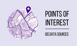
Free Points of Interest (POI) GIS Data
Looking for points of interest that you can use for your maps? Don’t worry we got you covered with our list of free POI GIS data sources.
-
Whatever Happened to Yahoo Maps?
Does Yahoo Maps still exist? There was a time when Yahoo Maps was a force to be reckoned with. But since June 2015, that time is now gone.
-
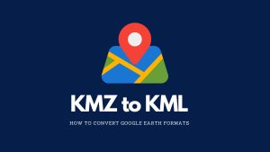
KMZ vs KML: What’s the Difference?
We’ll teach you all the differences between KMZ vs KML. We’ll also show you how to convert them into both file formats in Google Earth.
-
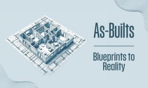
As-Built Drawings in CAD
As-built drawings are like a diary of a building. They show every detail during construction until completion. They’re the final snapshot.
-
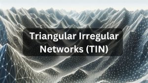
Triangular Irregular Network (TIN)
A Triangular Irregular Network (TIN) is a way to represent a 3D surface. They can show complex surfaces such as slopes and elevation.
-
7 Aerial Imagery and Photography Sources (Free and Paid)
Explore the world from new heights with aerial imagery. In this article, you’ll learn about our top seven sources of aerial photographs.


-
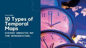
Time in Maps: 10 Types of Temporal Maps
Some maps are timeless. While others, well, they have time in them. This list of 10 ways to show time in maps for temporal maps.
-
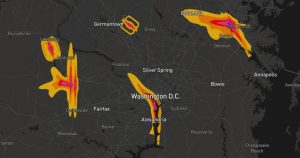
Noise Pollution Mapping
Noise pollution mapping is a way to show how loud different places are. It uses data to make maps that highlight noisy and quiet areas.
-
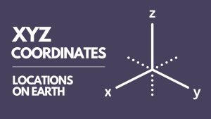
XYZ Coordinates – Latitude, Longitude, Elevation
XYZ coordinates represent a point’s location in three-dimensional space. X and Y are its position on the earth’s surface. Z is elevation.
-
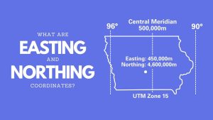
Easting and Northing Coordinates
Northing and easting coordinates work together for positioning on maps. They create a grid system on maps, allowing us to pinpoint locations.
-
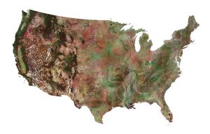
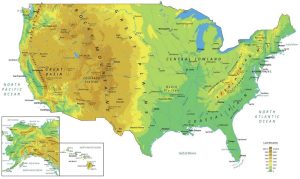
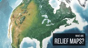
What Are Relief Maps?
Relief maps are ways to display the Earth’s terrain. It shows the differences in height, like mountains and valleys, using colors and shadows.
-
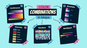
5 Types of Color Combinations for Maps
Color combinations in maps can make a big difference. They help us understand the map better and help readers grasp information quickly.
-
What Is Terrestrial Laser Scanning?
Terrestrial laser scanning is a LiDAR system different from airborne systems. Terrestrial LiDAR generates a point cloud at ground level.
-
Thermal Infrared Sensor (TIRS) on Landsat
Landsat’s Thermal Infrared Sensor (TIRS) measures the Earth’s surface temperature by focusing on the infrared part of the light spectrum.
-
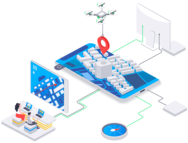
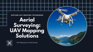
UAV Mapping for Aerial Surveying
UAV mapping has changed how we do aerial surveying. With drones, we can now map areas quickly, accurately, and in a cost effective way.
-
GNSS vs GPS: What’s the Difference?
GNSS vs GPS: GNSS is an umbrella for multiple navigational satellites. Under this umbrella, GPS, along with other systems, finds its place.
-
What Is Oblique Imagery?
While traditional images are taken from directly above, oblique imagery captures them at an angle. Learn more about oblique images.
-
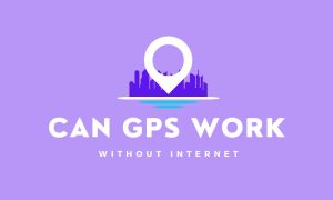
Can GPS Work Without the Internet?
Can you use GPS without the Internet? Yes, GPS works without the internet. A GPS receiver works by receiving signals from satellites.


-
Is Google Maps Really a GIS Software?
I’ve heard geospatial professionals describe GIS as Google Maps. But is this really true? We compare Google Maps vs other GIS software.
-
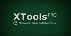
7 Best Features of XTools Pro
XTools Pro is a special add-on for ArcMap and ArcGIS Pro. It’s mostly a tool for GIS analysis. But it has a fair share of productivity tools.
-
Google Earth Alternatives
If you love exploring the globe virtually, these Google Earth alternatives let you see the world from all sorts of different angles.
-
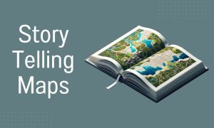
5 Storytelling Maps Platforms
Here are our top 5 storytelling maps platforms, blending stories with geography. Each has its strengths. All bring your stories to life.
-
How to Convert a KML to a KMZ
To convert a KML to a KMZ, the process is straightforward. It only requires tools such as Google Earth and 7-Zip to get started converting.
-
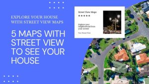
5 Maps with Street View To See Your House
Ever found yourself lost in another country? Maps with street view change that. They give you a real-life glimpse of your destination.

World Atlas
A world atlas map with countries of the world sorted alphabetically. With 100+ country outlines, this is geography at its greatest.