Is Google Maps Really a GIS Software?
I’ve heard geospatial professionals describe GIS as Google Maps. But is this really true? We compare Google Maps vs other GIS software.

I’ve heard geospatial professionals describe GIS as Google Maps. But is this really true? We compare Google Maps vs other GIS software.
XTools Pro is a special add-on for ArcMap and ArcGIS Pro. It’s mostly a tool for GIS analysis. But it has a fair share of productivity tools.

If you love exploring the globe virtually, these Google Earth alternatives let you see the world from all sorts of different angles.

Here are our top 5 storytelling maps platforms, blending stories with geography. Each has its strengths. All bring your stories to life.
To convert a KML to a KMZ, the process is straightforward. It only requires tools such as Google Earth and 7-Zip to get started converting.

Ever found yourself lost in another country? Maps with street view change that. They give you a real-life glimpse of your destination.

So you’re looking to build a map dashboard? Well, you’ve come to the right place. Today, we’ll count down our favorite map dashboards.
With the ArcGIS Maps for Sharepoint solution, users can quickly view and explore their geographic data within their SharePoint environment.
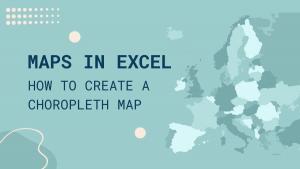
This step-by-step guide will walk you through the process of creating Excel maps (choropleth maps) from start to finish with sample data.
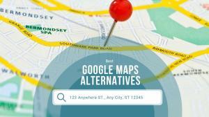
Whether you’re looking for a detailed map of a city or for a road trip, these alternatives to Google Maps can you with right tool for the job.