Best of GISGeography.com in 2024
At the end of every year, we countdown our top 10 pieces of content for what you like most. Here’s what tops the list with our “best of 2024”.

At the end of every year, we countdown our top 10 pieces of content for what you like most. Here’s what tops the list with our “best of 2024”.
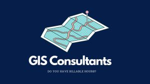
A GIS consultant often works based on billable hours. This means they get paid for the time they spend working on a project.
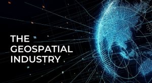
The geospatial industry is all about maps and location. It helps us know where things are and where to go. Learn all about it today.
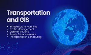
GIS in transportation enables better planning, operation, and decision-making. We use network analysis tools to understand how anything flows.
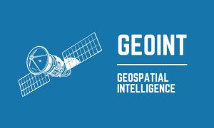
GEOINT stands for Geospatial Intelligence. It gathers data from maps and satellite images. GEOINT’s applications are vast and impactful.
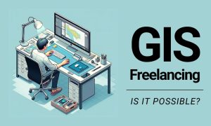
Looking for a GIS side hustle? I am not a big believer in GIS freelancing. No guaranteed salary. No benefits. But is it possible?
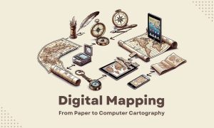
We used to draw maps by hand on paper. Now, we use digital mapping to make maps. Some call this process “computer cartography”.
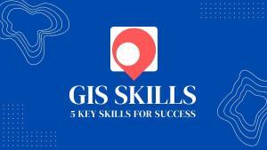
Are you new to GIS and looking to get started in the field? With the right GIS skills, you can succeed and carve out a geospatial career.
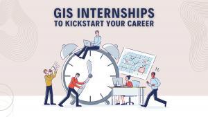
GIS internships provide a great opportunity for students and graduates to develop their skills and explore career paths in the GIS industry.

CAD (Computer-Aided Design) and GIS (Geographic Information Systems) are software tools used to create digital models of the physical world.