The Geospatial Industry: Past, Present and Future
The geospatial industry is all about maps and location. It helps us know where things are and where to go. Learn all about it today.
The geospatial industry is all about maps and location. It helps us know where things are and where to go. Learn all about it today.
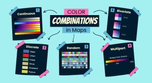
Color combinations in maps can make a big difference. They help us understand the map better and help readers grasp information quickly.
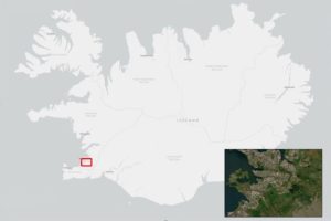
Inset maps (or locator maps) are small maps within a larger one. It shows more details of a part or gives an overview of a specific area.
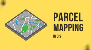
Parcel mapping is key for managing land and planning cities. In GIS, we use tools like parcel viewers and COGO for creating precise mapping.
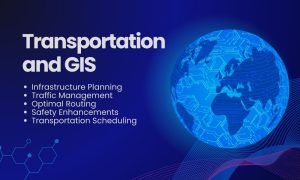
GIS in transportation enables better planning, operation, and decision-making. We use network analysis tools to understand how anything flows.
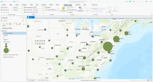
Point clustering groups nearby points into clusters so you can interpret a high density of points. Learn how to use clustering in ArcGIS Pro.
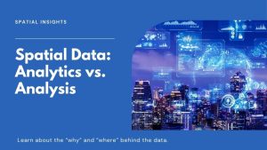
Spatial analysis focuses on finding spatial patterns and trends. Spatial analytics enables predictions by using AI and machine learning.
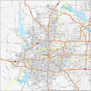
Sundance Square, the Cultural District, the Stock Yards, TCU/Tanglewood and Arlington Heights are in our neighborhood map of Fort Worth.
Can you use GPS without the Internet? Yes, GPS works without the internet. A GPS receiver works by receiving signals from satellites.
GEOINT stands for Geospatial Intelligence. It gathers data from maps and satellite images. GEOINT’s applications are vast and impactful.