Vector vs Raster in GIS: What’s the Difference?
The main spatial data types are vectors and rasters. Rasters have grid cells while vectors are points , lines and polygons consisting of vertices & paths.
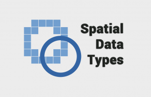
The main spatial data types are vectors and rasters. Rasters have grid cells while vectors are points , lines and polygons consisting of vertices & paths.
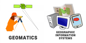
In the world of geography, two disciplines are often mistaken as the same one. But Geomatics and Geographic Information Systems are different.

The agile Pleiades satellite constellation is comprised of Pleiades 1A and 1B. They offer dynamic image acquisition at 50cm panchromatic & 2m multispectral.

SPOT-1 (Satellite Pour l’Observation de la Terre) was a French commercial satellite launched in 1986 initiated by the French Space Agency (CNES).