GIS Day is on Wednesday, November 19, 2025
Are you excited about GIS Day? People from around the world celebrate GIS Day. In 2025, it’s scheduled for Wednesday, November 19, 2025.
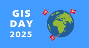
Are you excited about GIS Day? People from around the world celebrate GIS Day. In 2025, it’s scheduled for Wednesday, November 19, 2025.

Our ocean’s movements push large amounts of water every day. But where? See this list of ocean currents map and visualize our oceans movement and dynamics.