How To Create a Web Map in ArcGIS Online (AGOL)
This is an introductory tutorial on how to create a customized web map in ArcGIS Online (AGOL) to visualize, share and collaborate on the web.
This is an introductory tutorial on how to create a customized web map in ArcGIS Online (AGOL) to visualize, share and collaborate on the web.
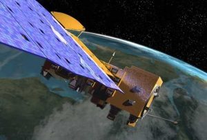
Despite popular belief MODIS is a satellite, it’s actually an instrument on-board a satellite. It has 36 bands, 250-1000 meter resolution and 2-day revisits.

Geometric networks in GIS enable connectivity between lines on a map, supporting network analysis by establishing a linear flow and routing.