Learn GIS – An Introduction to GIS
If you want to learn GIS, this is your guide to Geographic Information Systems. It covers analysis, cartography, remote sensing and software.
If you want to learn GIS, this is your guide to Geographic Information Systems. It covers analysis, cartography, remote sensing and software.
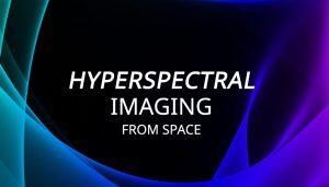
Hyperspectral imaging takes a spectrum of light and divides the light into hundreds of narrow spectral bands. For example, Hyperion has 242 bands at 30m GSD.
Chances are that you are already using Mapbox, and you may not know it! Apps like Snapchat integrate Mapbox directly into their applications.

Augmented reality (AR) in GIS allows you to interact with the outside world by enhancing or adding 3D features to your phone’s display.