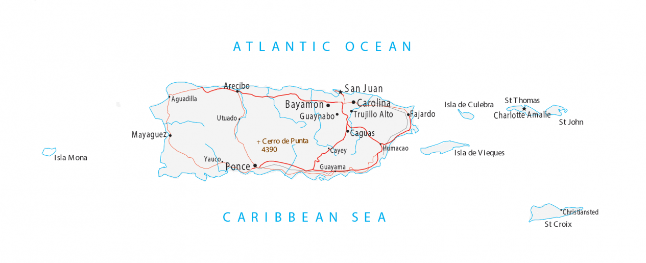
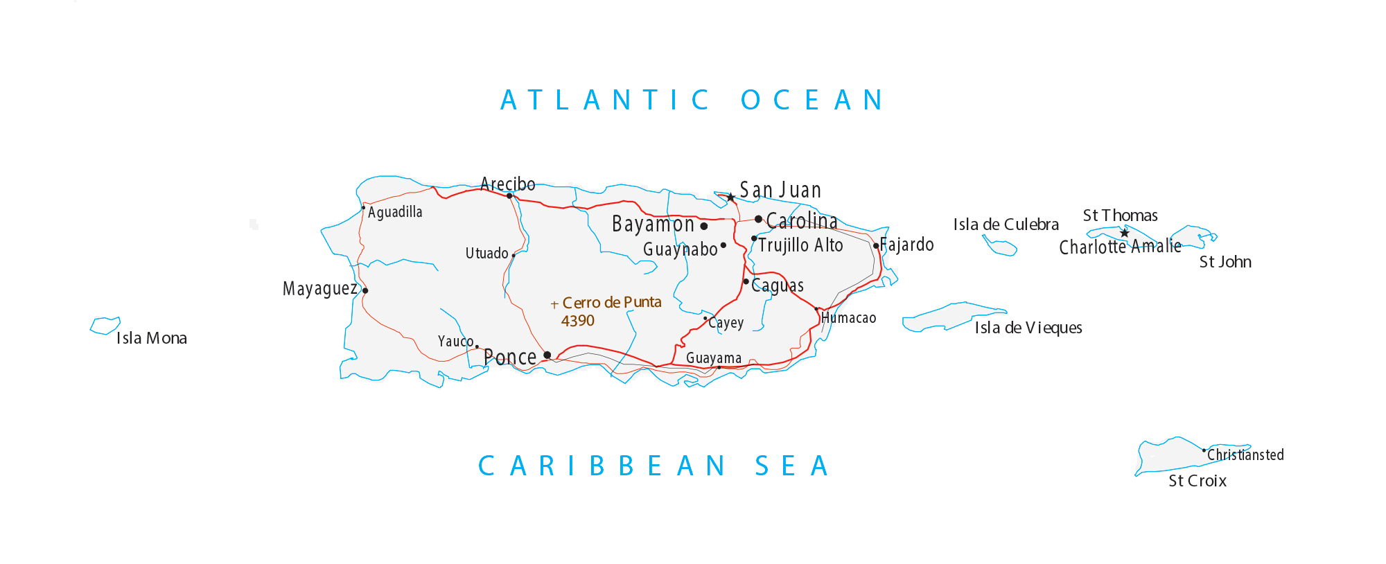
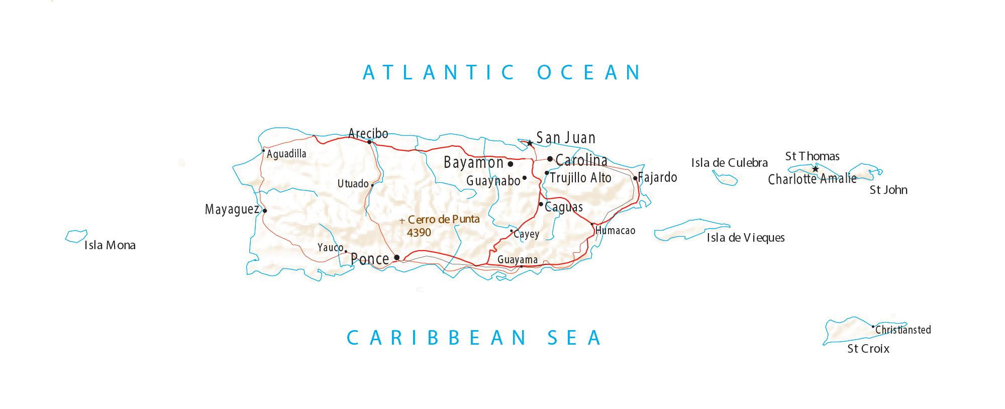
Puerto Rico Map – Cities and Roads
Puerto Rico map collection
You are free to use our map of Puerto Rico for educational and commercial uses. Attribution is required. How to attribute?
About the map
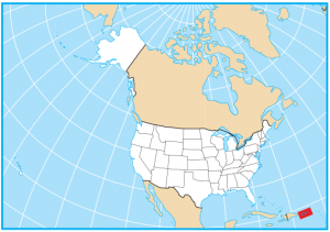
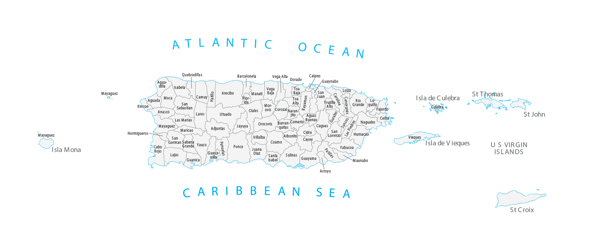
This Puerto Rico map shows cities, roads, municipalities, and major landmarks. Puerto Rico is an unincorporated territory of the United States and it is not recognized as an independent country. This is why its official name is the “Commonwealth of Puerto Rico”.
As an island located in the Caribbean, Puerto Rico has a mix of tropical rainforests, waterfalls, and mountains. But it’s one of the smallest islands and is only 100 miles long by 35 miles wide. San Juan is the capital and largest city in Puerto Rico. There are approximately 3.2 million people who live on the island. Spanish is the main language spoken in Puerto Rico.
Puerto Rico capital
San Juan
Major cities and towns
Ponce
Bayamon
Carolina
Mayaguez
Caguas
Guaynabo
Arecibo
Trujillo Alto
Aguadilla
Yauco
Utuado
Guayama
Cayey
Humacao
Christiansted
Islands
Isla Mona
Isla de Culebra
Isla de Vieques
St Croix
St John
St Thomas
Highest Peak
Cerro de Punta
Water Features
Atlantic Ocean
Caribbean Sea
Very good info.