GISGeography
  • Analysis
  • Career
  • Datasets
  • Mapping
  • Sensors
  • Software
  • US Maps
  • World Atlas

Month: March 2015

IDRISI
Software

IDRISI TerrSet By Clark Laboratories

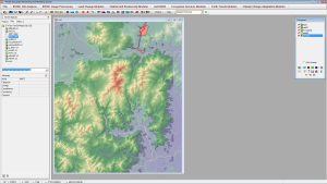
IDRISI TerrSet is primarily for remote sensing and image processing. With over 300 analysis tools, IDRISI TerrSet is as reliable as they come.

GIS software heatmap
Software

30 GIS Software Applications [Rankings]

ArcGIS, QGIS, SAGA GIS to JUMP GIS. What GIS software should you be using? We map out the GIS software landscape and list 30 options for you to choose from.


Subscribe to our newsletter:


RECENT POSTS
  • Space-Time Cubes: Stack Time Like Lego
  • Best Handheld GPS Receivers
  • US Election of 2020 Map
  • 5 Best Free LiDAR Software Tools and Applications
  • Best of GISGeography.com in 2020
ABOUT US
  • About Us
  • Articles
  • How To Cite
  • Privacy Policy
  • Resources
  • Sitemap
  • Terms of Service
CATEGORIES
  • Analysis
  • Career
  • Cartography
  • Data Sources
  • LiDAR
  • Learn GIS
  • World Atlas
  • US Maps
  • Remote Sensing
  • Software
Follow Us

twitterrss

GIS Store

GISGeography.com

css.php