10 Climate Change Maps – The Climate Explained
From crop production to melting glaciers, these climate change maps help your grasp a clear understanding of our transforming climate.
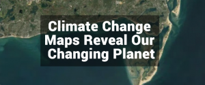
From crop production to melting glaciers, these climate change maps help your grasp a clear understanding of our transforming climate.

There’s a bucket load of free GIS software packages available for you to map the world. Manage, visualize and edit GIS data with open source GIS software.
Map all day. Geoprocess all night. All with open source gvSIG software. gvSIG emerged in 2004. It’s been fine-tuned for close to two decades.

GIS programming often involves a healthy dose of Python, JavaScript, SQL, VB.NET, C++ and HTML. Learn to code and it’s a feather in your cap to a GIS career