Polar Orbit vs Sun Synchronous Orbit
A polar orbit satellite travels pole-to-pole. For a sun-synchronous orbit, it passes over any given point on Earth’s surface at the same local solar time.

A polar orbit satellite travels pole-to-pole. For a sun-synchronous orbit, it passes over any given point on Earth’s surface at the same local solar time.

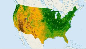
NDVI quantifies vegetation health using near-infrared (which is reflected by vegetation) and red light (which is absorbed by vegetation).

Learn how to georeference with precision in this georeferencing guide. Add control points in two images, select a transformation and check your RMSE.

While Geographic Information Systems answers “what” and “where”, Geographic Information Science (GIScience) is concerned with the “how” and its development.