How to Download USGS Topo Maps for Free
If you’re looking for topographic maps (contours, place names & hydrography) for the United States, the first place to look is the USGS topo maps series.
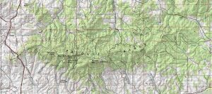
If you’re looking for topographic maps (contours, place names & hydrography) for the United States, the first place to look is the USGS topo maps series.
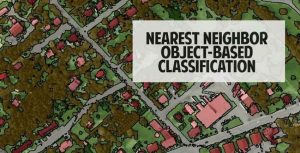
Nearest neighbor classification is a powerful approach to classify segmented objects based on specific statistics and training samples chosen by the user.
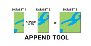
The Append Tool adds data from one or more sources of data and puts it into an existing target dataset, without creating a new dataset.
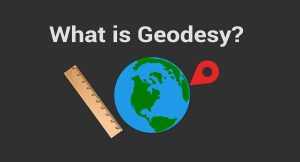
Geodesy is the field of applied mathematics that studies Earth’s shape, orientation, positions and gravity for the past, present and future.