How To Use Zonal Statistics
Zonal Statistics uses groupings to calculate statistics (sum, mean, maximum, etc) for specified zones like countries, watersheds or parcels.

Zonal Statistics uses groupings to calculate statistics (sum, mean, maximum, etc) for specified zones like countries, watersheds or parcels.

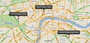
We list geocoding and reverse geocoding services that are available (for free and as paid services) to pinpoint addresses on your maps.

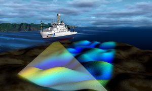
Have you ever wanted to look deep into the ocean and see its topography? Turns out, you actually can with this list of ocean bathymetry data.