Boise Zip Code Map
Here is our Boise zip code map, which displays the postal regions and interstate highways. Use this zip code map of Boise for personal use.
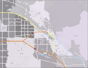
Here is our Boise zip code map, which displays the postal regions and interstate highways. Use this zip code map of Boise for personal use.
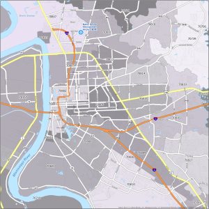
Today, we’re introducing our Baton Rouge zip code map with interstates. Download this map of Baton Rouge zip codes for personal use.
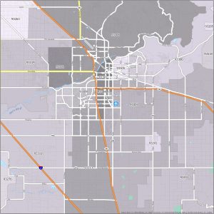
Find out about the postal regions with this Bakersfield zip code map. Use this Bakersfield map for free for accurate addressing.
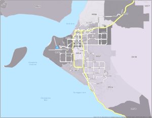
Get to know the postal regions with this Anchorage zip code map. Download this zip code map of Anchorage, Alaska for personal uses.

CAD (Computer-Aided Design) and GIS (Geographic Information Systems) are software tools used to create digital models of the physical world.
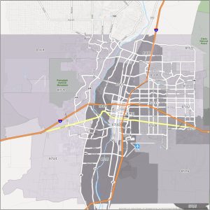
Take a look and download our Albuquerque zip code map. This map not only displays postal regions but also shows interstate highways.
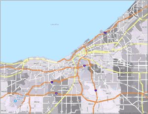
Presenting the Cleveland zip code map, featuring interstate highways and postal regions. It’s ideal for mail delivery and accurate addressing.
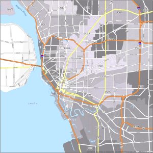
This Buffalo zip code map shows the postal fabric of this city. It includes highways so you can navigate and pinpoint each distinct zip code.
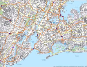
This New York City zip code map unveils the intricate web of zip codes that shape the “Big Apple” to better identify postal addresses.
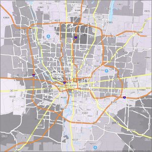
Immerse yourself in this Columbus zip code map and download it today. It also contains highways for navigating around each postal area.