ArcGIS Projections: “Define Projection” and “Project”
For ArcGIS projections, “define projection” changes the metadata of the current projection. The “project” tool changes the projected coordinate system.
For ArcGIS projections, “define projection” changes the metadata of the current projection. The “project” tool changes the projected coordinate system.
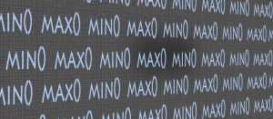
Python minimum and maximum values in ArcGIS can be obtained from multiple fields. This is done with min and max commands using Python and Field Calculator.

Changing NoData values to zero in arcGIS can be accomplished by using the “Con Tool”

This list is a collaborative effort of the most valuable Esri ArcMap tips and tricks. Follow these golden rules and you will save time and improve workflow.