Best of GISGeography.com in 2024
At the end of every year, we countdown our top 10 pieces of content for what you like most. Here’s what tops the list with our “best of 2024”.

At the end of every year, we countdown our top 10 pieces of content for what you like most. Here’s what tops the list with our “best of 2024”.

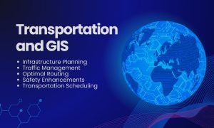
GIS in transportation enables better planning, operation, and decision-making. We use network analysis tools to understand how anything flows.

GEOINT stands for Geospatial Intelligence. It gathers data from maps and satellite images. GEOINT’s applications are vast and impactful.

Today’s farmers use sophisticated agriculture technology because they can save time and money. Location-based GIS helps farmers solve the answer ‘where’.

It’s all about predicting risk in the insurance industry. Insurance technology like GIS and mapping can better manage risk with its location intelligence.

We give you 5 steps to deliver a GIS business case at your organization because for some organizations it’s hard to imagine without one

Remote sensing, geodatabases and automation can play a key role in cost-effective and timely information for using GIS in oil and gas industry.

From over 50 industries, here are 1000 GIS applications to open your mind of our amazing planet, its interconnectivity with location intelligence in mind.