Wyoming State Map – Landmarks and Places
A Wyoming State Map showing major landmarks, populated places, national forests, military bases, parks, wildlife refuges and other federal lands in Wyoming.
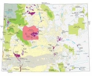
A Wyoming State Map showing major landmarks, populated places, national forests, military bases, parks, wildlife refuges and other federal lands in Wyoming.
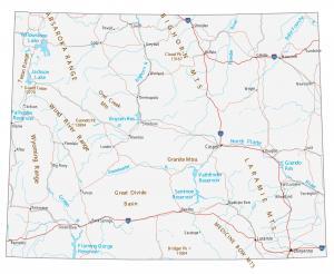
This Wyoming map contains cities, roads, rivers and lakes. Casper, Laramie and Cheyenne are some of the major cities in this map of Wyoming.
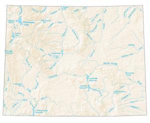
A map with major rivers, reservoirs and lakes in Wyoming like Yellowstone Lake, Snake River, Green River, and the North Platte River.
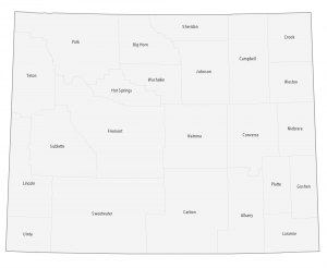
This Wyoming county map displays its 23 counties. Laramie, Natrona and Sweetwater County are the most populated counties in Wyoming.