What Is Flow Direction in GIS?
Flow direction calculates the direction water will flow in its eight adjacent cells using slope from neighboring cells (in a raster grid cell)
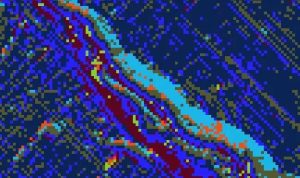
Flow direction calculates the direction water will flow in its eight adjacent cells using slope from neighboring cells (in a raster grid cell)
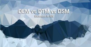
We explore the differences between DEM (bare earth), DSM (natural and built environment) and DTM (vector contours and regularly-spaced points).
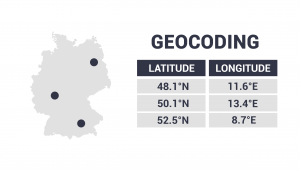
Geocoding takes an address, then translates it to a location on a map. It changes an address to lat long coordinates (latitude and longitude).

Want to elevate your chances of finding a digital elevation model? Sure you do. You should dive into our list of free global DEM data sources.