How To Vectorize Images with ArcScan
You can take any image, and you can vectorize it with ArcScan. This means you’ll spend less time digitizing and more time doing other important things.

You can take any image, and you can vectorize it with ArcScan. This means you’ll spend less time digitizing and more time doing other important things.
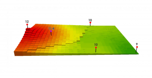
Inverse Distance Weighting (IDW) interpolation estimates unknown values with specifying search distance, closest points, power setting & barriers.
Universal Transverse Mercator (UTM) segments the Earth into 60 zones (each UTM zone is 6°) and projects each zone with an upright cylinder of its own.
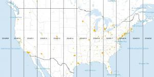
Tech-savvy companies are using the location-allocation tool to find optimal location and target market. Here’s an ArcGIS solution to locate your company.
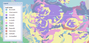
A map legend is used to define features in a map. Point, line and polygon symbols in a legend key is the driving-force to understand what is found in a map.
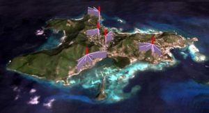
When you take a photo with your GPS on, it stores its physical location where the photo was taken. Geotagging assigns coordinates to photos.