Austin Neighborhood Map
You can learn all the neighborhoods of Austin on this page from our page. It includes Downtown, East Congress, Zilker, South Lamar, and more.
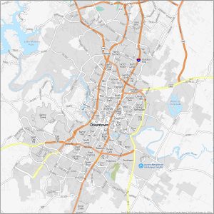
You can learn all the neighborhoods of Austin on this page from our page. It includes Downtown, East Congress, Zilker, South Lamar, and more.
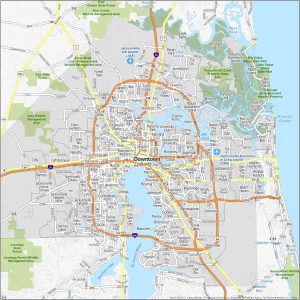
Familiarize yourself with neighborhoods of Jacksonville. Our map displays Downtown, Midtown, San Marco, and popular neighborhoods of Jax.

The RADARSAT Constellation Mission (RCM) consists of three satellites. Using SAR, these satellites can see through clouds and darkness.
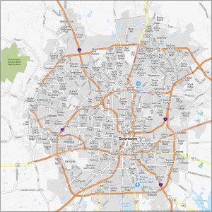
We kick off things with the heart of San Antonio – Downtown/RiverWalk. Then, move onto other neighborhoods like Alamo Heights and Southtown.
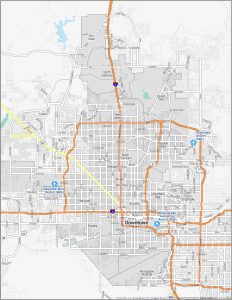
Here are the top neighborhoods of Phoenix, Arizona. We love downtown, especially Roosevelt Row (Arts District) as well as Paradise Valley.

Here are our top 5 storytelling maps platforms, blending stories with geography. Each has its strengths. All bring your stories to life.

Looking for points of interest that you can use for your maps? Don’t worry we got you covered with our list of free POI GIS data sources.

Building maps is both an art and a science. We’re diving into the world of map design. Steal these design ideas to elevate your skills.

Looking for a GIS side hustle? I am not a big believer in GIS freelancing. No guaranteed salary. No benefits. But is it possible?
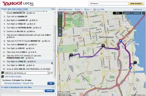
Does Yahoo Maps still exist? There was a time when Yahoo Maps was a force to be reckoned with. But since June 2015, that time is now gone.