Begin Your Geospatial Career with Free GIS Training
Whether you want to improve cartography, database administration, or develop location apps, there are tons of free GIS training resources.
Whether you want to improve cartography, database administration, or develop location apps, there are tons of free GIS training resources.
Esri Certification is a new type of exam qualification which is meant to validate your proficiency with Esri-related software applications.
GISP Certification is a recognized credential that sets the benchmark for skills in the geographic information systems technology field.
Many people think “geospatial” and “GIS” are interchangeable, but there’s actually a bit of nuance between them. Learn their differences.
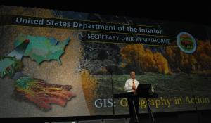
Whether you are a new or experienced user, the Esri User Conference is the world’s largest GIS conference with over 15,000 people attending.

Programming certification is essential for those who want to advance their careers, be competitive in the market, and stay ahead of the curve.
Love data? Love learning how to collect and process it at scale? Neither do I. Just kidding! Learn about data engineering as a career.
A GIS specialist is similar to a GIS analyst. They are well-rounded in all areas of GIS including analysis, cartography and data management.
If you want to learn GIS, this is your guide to Geographic Information Systems. It covers analysis, cartography, remote sensing and software.
We reveal 15 LiDAR uses and applications. LiDAR isn’t a new technology, but it’s been growing so much lately that even your smartphone has it