6 Amazing Global Farming and Agriculture Maps
Ever wonder where your food comes from? Feast your eyes on these amazing agriculture maps and learn what the future of agriculture holds.
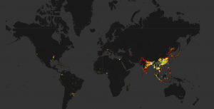
Ever wonder where your food comes from? Feast your eyes on these amazing agriculture maps and learn what the future of agriculture holds.
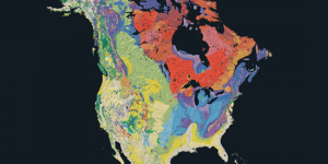
Geology maps depict where the underlying rock formations are. It displays rocks of different ages showing eras, periods and epochs.
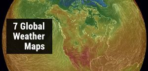
As weather is location-based, GIS can deliver weather information like no other. Rain or shine, these interactive weather maps will brighten your day

A horizontal datum provides a reference frame for latitude and longitude coordinates on the Earth. A datum is constructed through surveys and triangulation.
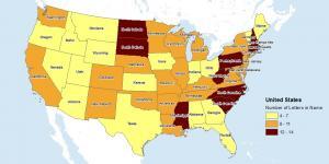
The equal interval classification method divides attribute values into equal size range taking the data’s minimum and maximum values.
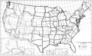
Meade’s Ranch was the focal point of the NAD27 with all positions relative to it. First-order triangulation was used with approximately 26,000 survey points
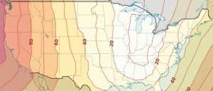
NAD27 and NAD83 may differ in tens of meters for horizontal accuracy on location. Datum transformations correct your data from one datum to another.