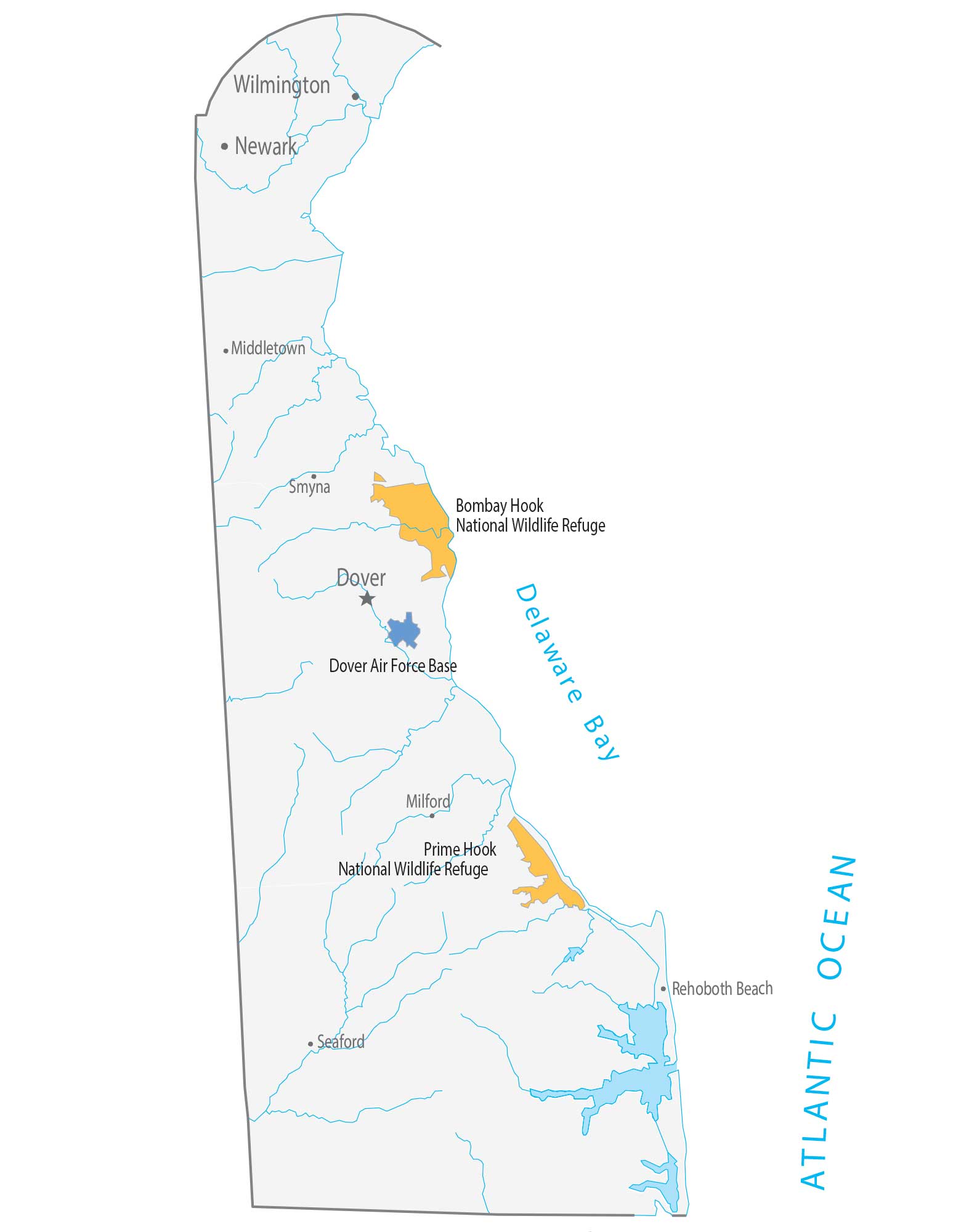
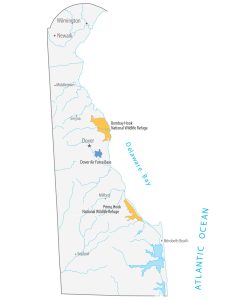
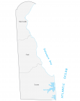
Delaware State Map – Places and Landmarks
About the map
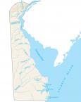
This Delaware State Map displays major landmarks and places in Delaware. It includes national wildlife refuges, military bases, and federal lands in Delaware.
The two major national wildlife refuges in Delaware are Bombay Hook and Prime Hook. Both sites are situated in the east of Delaware along Delaware Bay.
National wildlife refuges serve as sanctuaries for migratory birds and wintering waterfowl. These sites can only be designated on lands owned by the federal government.
Delaware map collection
You are free to use our map of Delaware for educational and commercial uses. Attribution is required. How to attribute?
Federal lands
National Wildlife Refuge (NWR)
Bombay Hook National Wildlife Refuge
Prime Hook National Wildlife Refuge
Bays, lakes and reservoirs
Delaware Bay
Army, naval and military
Dover Air Force Base
Delaware landmarks and places
Milford
Rehoboth Beach
Smyna
Middletown
Seaford
Newark
Wilmington
Dover
State capital
Dover