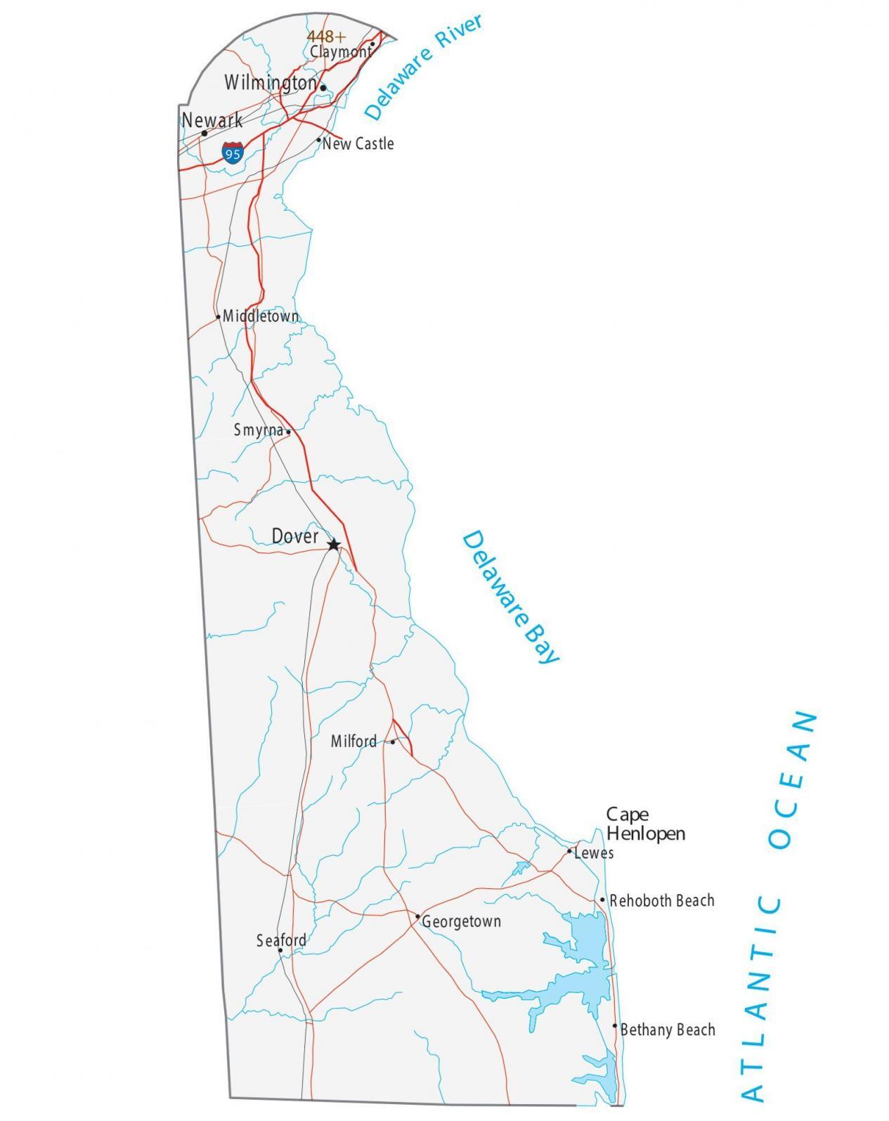
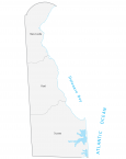
Map of Delaware – Cities and Roads
About the map
This Delaware map displays cities, towns, highways roads, rivers, and lakes. For example, Dover, Newark, and Wilmington are some of the major cities shown on this map of Delaware.
Delaware was the first state to become a state in America. Specifically, it was in 1787 when Delaware became the first state to ratify the Constitution of the United States.
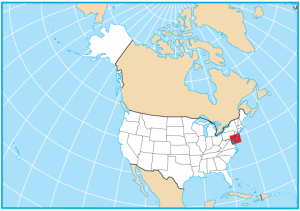
For size, Delaware is the second smallest state. Only Rhode Island is smaller in size compared to the state of Delaware. But for population, it has the sixth-lowest number of people with just under 1 million people. Dover is the capital of Delaware but Wilmington is the most populous city.
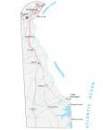
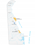
Delaware map collection
You are free to use our map of Delaware for educational and commercial uses. Attribution is required. How to attribute?
State capital
Dover
Major cities and towns
Dover
Newark
Wilmington
Milford
Rehoboth Beach
Georgetown
Seaford
Smyrna
Middletown
New Castle
Claymont
Lewes
Bethany Beach
Interstate highways
Interstate-95 (I-95)
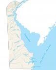
Lakes, rivers and creeks
Atlantic Ocean
Delaware River
Delaware Bay
Landmarks in Delaware
Cape Henlopen