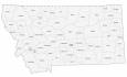
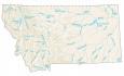
Montana County Map

About the map
This Montana county map displays its 56 counties. Because the Missouri River cuts through Montana from east to west, it helps delineate several county boundaries.
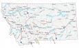
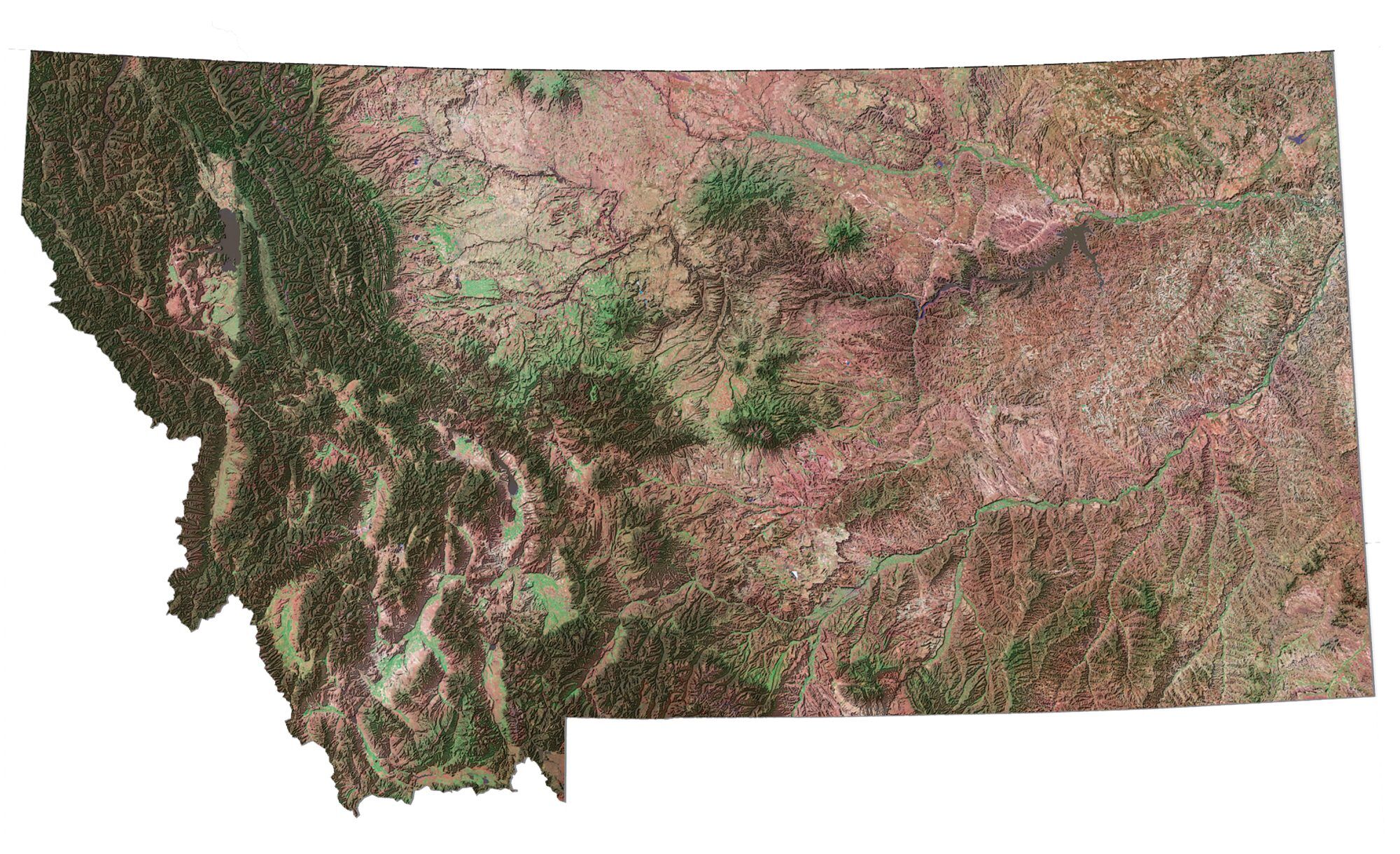
The state of Montana is one of the most scenic places in the U.S., with thousands of acres of public land available for anyone to visit. A large portion of the state is covered by public lands. This encompasses national parks, national historical monuments, and other protected areas.
The county with the highest population in Montana is Yellowstone County. Whereas Petroleum County is the least populated county with just over 400 residents. If you compare its population to all counties in the United States, it has the seventh-fewest people. For size, Beaverhead County has the largest area occupying 5573.4 square miles. But the smallest county is Silver Bow County.
You are free to use our county map of Montana for educational and commercial uses. Attribution is required. How to attribute?
Montana county list
| FIPS Code | Name | Land (sq mi) | Water (sq mi) | Population (2024) |
|---|---|---|---|---|
| 30-001 | Beaverhead County | 5542.7 | 30.2 | 10,006 |
| 30-003 | Big Horn County | 4997.8 | 18.3 | 12,796 |
| 30-005 | Blaine County | 4227.1 | 11.2 | 6,903 |
| 30-007 | Broadwater County | 1192.4 | 45.7 | 8,302 |
| 30-009 | Carbon County | 2047.7 | 13.7 | 11,498 |
| 30-011 | Carter County | 3340.5 | 7.5 | 1,399 |
| 30-013 | Cascade County | 2698.2 | 13.3 | 84,523 |
| 30-015 | Chouteau County | 3972.5 | 24.2 | 5,880 |
| 30-017 | Custer County | 3783.3 | 9.9 | 11,964 |
| 30-019 | Daniels County | 1426.0 | 0.4 | 1,625 |
| 30-021 | Dawson County | 2371.9 | 11.5 | 8,731 |
| 30-023 | Deer Lodge County | 736.7 | 4.7 | 9,811 |
| 30-025 | Fallon County | 1620.5 | 2.3 | 2,946 |
| 30-027 | Fergus County | 4339.3 | 10.7 | 11,862 |
| 30-029 | Flathead County | 5087.1 | 168.8 | 114,527 |
| 30-031 | Gallatin County | 2605.0 | 28.8 | 126,984 |
| 30-033 | Garfield County | 4676.5 | 172.5 | 1,181 |
| 30-035 | Glacier County | 2994.9 | 40.9 | 13,503 |
| 30-037 | Golden Valley County | 1174.4 | 1.0 | 863 |
| 30-039 | Granite County | 1727.2 | 5.6 | 3,602 |
| 30-041 | Hill County | 2899.2 | 17.3 | 16,065 |
| 30-043 | Jefferson County | 1656.9 | 2.6 | 13,304 |
| 30-045 | Judith Basin County | 1869.7 | 0.8 | 2,111 |
| 30-047 | Lake County | 1490.5 | 163.5 | 33,403 |
| 30-049 | Lewis and Clark County | 3458.4 | 39.2 | 75,129 |
| 30-051 | Liberty County | 1430.0 | 17.1 | 1,934 |
| 30-053 | Lincoln County | 3612.5 | 62.4 | 22,184 |
| 30-055 | McCone County | 2642.2 | 39.8 | 1,717 |
| 30-057 | Madison County | 3588.1 | 15.4 | 9,753 |
| 30-059 | Meagher County | 2391.9 | 2.9 | 2,065 |
| 30-061 | Mineral County | 1219.6 | 3.8 | 5,195 |
| 30-063 | Missoula County | 2593.0 | 24.9 | 122,546 |
| 30-065 | Musselshell County | 1868.9 | 2.7 | 5,452 |
| 30-067 | Park County | 2802.5 | 10.8 | 18,074 |
| 30-069 | Petroleum County | 1655.6 | 18.9 | 525 |
| 30-071 | Phillips County | 5140.5 | 71.6 | 4,214 |
| 30-073 | Pondera County | 1624.6 | 17.0 | 6,078 |
| 30-075 | Powder River County | 3298.2 | 0.6 | 1,734 |
| 30-077 | Powell County | 2326.0 | 6.3 | 7,120 |
| 30-079 | Prairie County | 1736.6 | 5.8 | 1,112 |
| 30-081 | Ravalli County | 2391.0 | 9.3 | 48,187 |
| 30-083 | Richland County | 2084.3 | 18.9 | 11,028 |
| 30-085 | Roosevelt County | 2354.3 | 14.9 | 10,197 |
| 30-087 | Rosebud County | 5008.1 | 17.1 | 8,194 |
| 30-089 | Sanders County | 2760.4 | 29.5 | 13,895 |
| 30-091 | Sheridan County | 1675.8 | 29.0 | 3,448 |
| 30-093 | Silver Bow County | 718.0 | 0.6 | 36,134 |
| 30-095 | Stillwater County | 1796.7 | 9.2 | 9,450 |
| 30-097 | Sweet Grass County | 1855.5 | 6.8 | 3,757 |
| 30-099 | Teton County | 2271.6 | 20.3 | 6,444 |
| 30-101 | Toole County | 1915.0 | 30.1 | 5,153 |
| 30-103 | Treasure County | 977.8 | 6.6 | 739 |
| 30-105 | Valley County | 4926.1 | 135.7 | 7,434 |
| 30-107 | Wheatland County | 1422.5 | 5.0 | 2,058 |
| 30-109 | Wibaux County | 888.6 | 0.7 | 911 |
| 30-111 | Yellowstone County | 2633.5 | 15.4 | 171,583 |