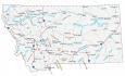
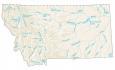
Map of Montana – Cities and Roads

About the map
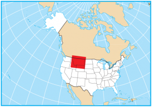
This Montana map displays its cities, roads, rivers, and lakes. It borders Idaho, Wyoming, South Dakota, and North Dakota. Also, Montana is located along the Canadian border with the Canadian provinces of Alberta and Saskatchewan.
For nature lovers, Montana is a wilderness paradise. Visit one of the many national parks or historic sites across the state. It has a big, empty mountain region with Glacier National Park that has 700+ miles of trails. Not to mention it has one of the largest Indian reservations out of any other state.
Billings, Missoula, and Great Falls are some of the major cities shown on this map of Montana. From hiking to fishing, discover the beauty of nature in Montana. Montana is all about unplugging and getting acquainted with nature like Yellowstone National Park.
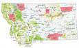
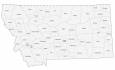
Montana map collection
You are free to use our map of Montana for educational and commercial uses. Attribution is required. How to attribute?
State capital
Helena
Major cities and towns
Billings
Missoula
Great Falls
Helena
Bozeman
Butte
Baker
Big Timber
Broadus
Browning
Chester
Choteau
Circle
Conrad
Cut Bank
Deer Lodge
Dillon
Drummond
Ekalaka
Eureka
Forsyth
Fort Benton
Fort Peck
Glasgow
Glendive
Hamilton
Hardin
Harlowton
Havre
Jordan
Kalispell
Laurel
Lewistown
Libby
Livingston
Malta
Miles City
Polson
Red Lodge
Roundup
Scobey
Shelby
Sidney
Terry
Thompson Falls
Three Forks
Virginia City
West Yellowstone
White Sulphur
Springs
Whitefish
Wibaux
Wolf Point
Townsend
Grass Range
Colstrip
Plentywood
Culbertson
Anaconda
East Glacier Park
Morgan
Crow Agency
Interstate highways
Interstate-15 (I-15)
Interstate-90 (I-90)
Interstate-94 (I-94)
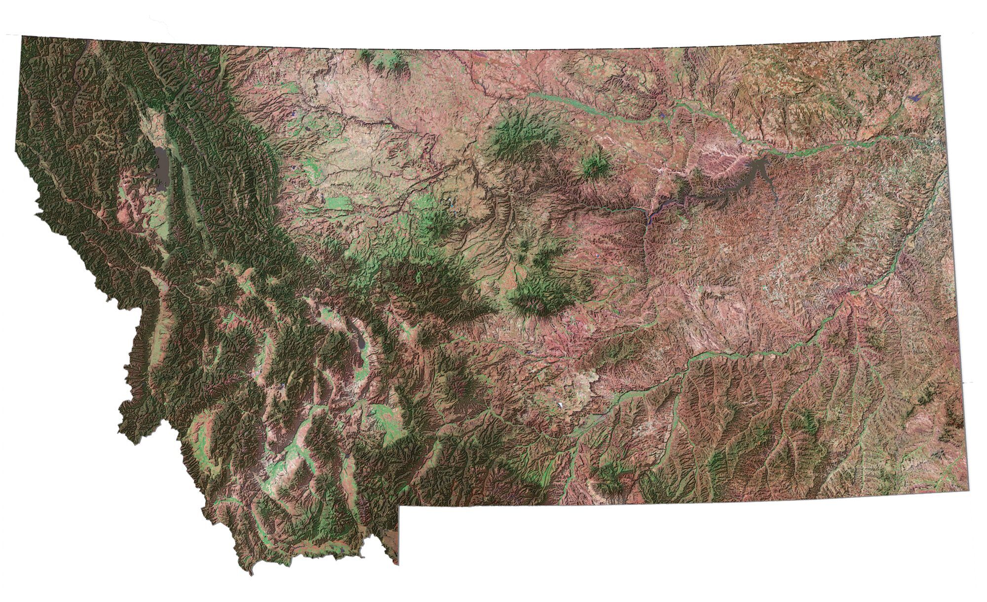
Lakes, rivers and creeks
Fort Peck Lake
Yellowstone River
Missouri River
Musselshell River
Clark Fork River
Hungry Horse Reservoir
Milk River
Flathead Lake
Canyon Ferry Lake
Bitterroot River
Big Hole River
Tongue River
Sun River
Marias River
Teton River
Kootenai River
Bighorn River
Powder River
Landmarks in Montana
Rocky Mountains
Bitterroot Range
Granite Peak
Absaroka Range
Cabinet Mountains
Pioneer Mountains
Lewis Range
Big Belt Mountains
Little Belt Mountains
Bearpaw Mountains
Crazy Mountains
Big Snowy Mountains
Bighorn Mountain
May I use it for an online training example?
Thx.
–Allen
.
Yes, but please make sure to follow the guidelines on how to cite – https://gisgeography.com/how-to-cite/
Could I, please, get a Montana State paper map.
Thank you
Max Kathol
We allow anyone to freely print this map of Montana.
I want to see maps!
Where are all of the forts?
This is great! Info that you can use!