What Is Terrestrial Laser Scanning?
Terrestrial laser scanning is a LiDAR system different from airborne systems. Terrestrial LiDAR generates a point cloud at ground level.

Terrestrial laser scanning is a LiDAR system different from airborne systems. Terrestrial LiDAR generates a point cloud at ground level.
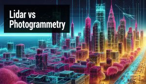
LiDAR vs photogrammetry – What’s the difference? LiDAR uses lasers to measure distances. Photogrammetry uses photos from different angles.
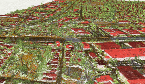
A point cloud is a collection of points for storing data in LiDAR systems. Pulses of light represent the millions of points in a point cloud.
We reveal 15 LiDAR uses and applications. LiDAR isn’t a new technology, but it’s been growing so much lately that even your smartphone has it
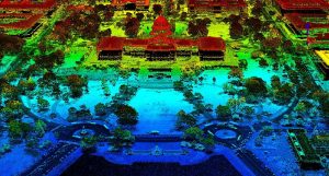
How would you like to wave your magic wand and find out how far everything is away from you? No magic wands necessary. This is how LiDAR works.
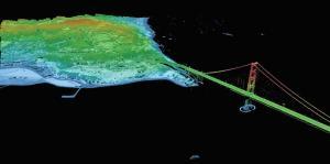
Does it feel like a big challenge to find LiDAR data sources? Master the art of attaining LiDAR at no cost with this list of 6 free LiDAR data sources.