Maxar Satellite Imagery: Worldview, GeoEye and IKONOS
If you want the sharpest satellite imagery in the world, harness the power of DigitalGlobe imagery. Each pixel in a Worldview-3 image is about 31 cm.

If you want the sharpest satellite imagery in the world, harness the power of DigitalGlobe imagery. Each pixel in a Worldview-3 image is about 31 cm.
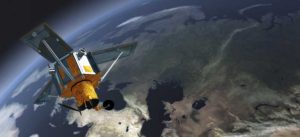
IKONOS provides panchromatic, natural-color, color-infrared and stereo images for cartographic, remote sensing and photogrammetric applications.

During an 11-day mission, Space Shuttle Radar Topography (SRTM) mission captured Earth’s elevation at 1 arc-second (30 meters) for over 80% of the Earth.
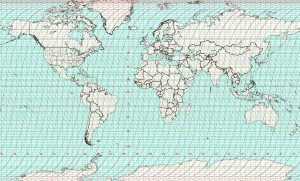
The Landsat file name structure gives you the what, where, when and how the data was captured. (ex. LXS PPPRRR YYYYDDD GSIVV)

The agile Pleiades satellite constellation is comprised of Pleiades 1A and 1B. They offer dynamic image acquisition at 50cm panchromatic & 2m multispectral.

SPOT-1 (Satellite Pour l’Observation de la Terre) was a French commercial satellite launched in 1986 initiated by the French Space Agency (CNES).

Imagine being able to rewind forty years back in time. For any given place and time. Then, see how much it’s changed. You can through the Landsat Program!