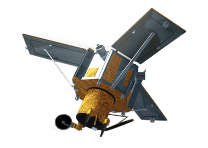
IKONOS: The Pioneer of Commercial Space Imaging
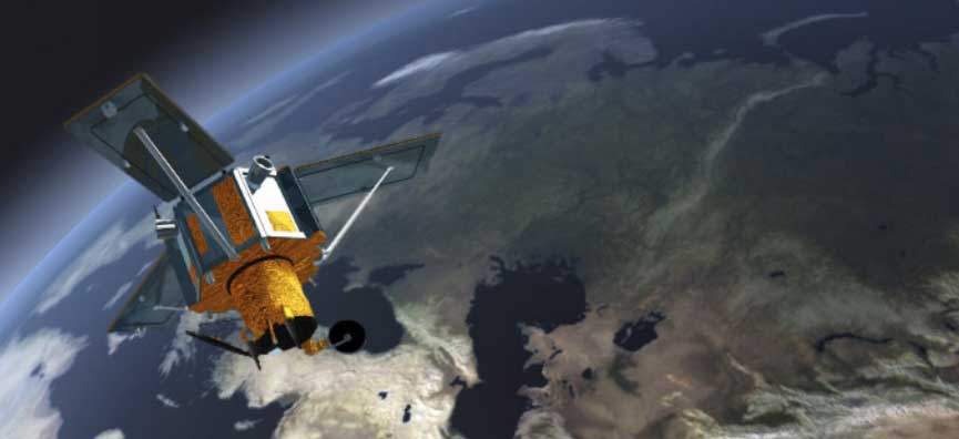
IKONOS Satellite Imagery
IKONOS (Greek for image) was one of the first commercial satellites to serve imagery to the public.
In 2000, it was a big upgrade with blue, green, red, and near-infrared (NIR) at 4-meter resolution.
In addition, it collected 1-meter panchromatic images and stereo imagery. As you may know, photogrammetrists use stereo imagery to develop digital elevation models (DEMs).
We explain everything you need to know about this satellite.
IKONOS Band Specifications
IKONOS multispectral imagery consists of blue, green, red, and near-infrared (NIR) bands at 4-meter resolution. Also, it collects 1-meter panchromatic images. It can obtain a 1:10,000 scale mapping without ground control and a 1:2400 scale with ground control points.
Because it has a sun-synchronous orbit, it can provide coverage of the whole globe. Since it offers both nadir and off-nadir modes, revisit times vary from 3-5 days (off-nadir) and 144 days (nadir).
Each scene size is 11 km × 11 km. Although it collects data at 11-bit sensitivity, data delivery is in 16-bit (0–65535).
| Band | Resolution | Central Wavelength | Description |
|---|---|---|---|
| Pan | 0.8 m | 450-900 nm | Panchromatic |
| B1 | 4 m | 445-516 nm | Blue |
| B2 | 4 m | 506-595 nm | Green |
| B3 | 4 m | 632-698 nm | Red |
| B4 | 4 m | 757-853 nm | Near Infrared (NIR) |
IKONOS: A Remarkable History
IKONOS served as one of the first commercial satellites to deliver imagery from space. In the beginning, engineers planned to have a pair of satellites (IKONOS-2). They planned them to be exact replicas of each other.
However, IKONOS-1 didn’t succeed in even making it to space. IKONOS-2 was successful in 2000 and they renamed it simply IKONOS.
Space Imaging and NASA explored the whole concept of commercial satellite imagery. After this stage, the concept was followed by Lockheed Martin and Raytheon.
Eventually, Orbimage acquired it in 2006. Shortly after, DigitalGlobe took over the satellite, which is now owned by MDA (Maxar). To say the least, this satellite has seen a high turnaround.
READ MORE: The Big Satellite List. 50 Satellites. 30 Words or Less.
Conclusion
For its time, it was a significant development in the history of the space age.
Altogether, it paved the way for other commercial satellites. With this in mind, it began a new era of Earth intelligence from space.
This satellite provides panchromatic, natural color, color infrared, and stereo images. In particular, this is useful for cartographic, photogrammetric, and various remote sensing applications.
You can download free samples of imagery from the USGS Earth Explorer. If you’re looking for archived imagery, Maxar is your best option.
References
- IKONOS satellite, imagery, and products (ScienceDirect)
- Image Credit: © Maxar


I want to use SPOT image for my thesis however it is not acquired by nearest center. How I can get it?