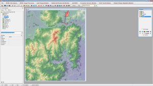
IDRISI TerrSet By Clark Laboratories
IDRISI TerrSet is primarily for remote sensing and image processing. With over 300 analysis tools, IDRISI TerrSet is as reliable as they come.

IDRISI TerrSet is primarily for remote sensing and image processing. With over 300 analysis tools, IDRISI TerrSet is as reliable as they come.

ArcGIS, QGIS, SAGA GIS to JUMP GIS. What GIS software should you be using? We map out the GIS software landscape and list 30 options for you to choose from.

There is an abundance of choice for open source remote sensing software. This list of 13 free applications describes what each one brings to the table.