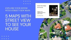
5 Maps with Street View To See Your House
Ever found yourself lost in another country? Maps with street view change that. They give you a real-life glimpse of your destination.
Ever found yourself lost in another country? Maps with street view change that. They give you a real-life glimpse of your destination.

This step-by-step guide will walk you through the process of creating Excel maps (choropleth maps) from start to finish with sample data.

Whether you’re a professional geographer or just a hobbyist, this list of remote sensing software available will help you get the job done.
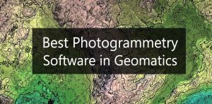
In this article, we’ll discuss the best photogrammetry software for geomatics available today including Pix4D, ArcGIS Pro, and Autodesk ReCap.

In this Autodesk review, we’ll talk about the world’s leading provider of CAD software for design, engineering, and construction.
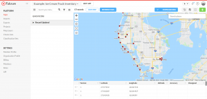
Because data collection is one of the most time-consuming and crucial aspects of any field project, the Fulcrum App can simplify this process.
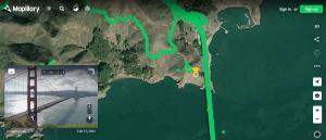
Mapillary is a crowdsourced platform where users can upload geotagged photos in the world and explore 1.5+ billion street-level images.
If you want to find the latitude and longitude of anywhere with your mobile phone, this list of GPS coordinate apps will help you get started.
These 3 field apps will provide you with the right data collection tools so you can capture survey information from your mobile device.
Here’s a list of non-geospatial tools we’ve all got secretly in our back pockets. It’s the functionality that GIS just isn’t cut out to do!