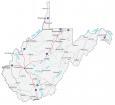
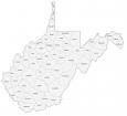
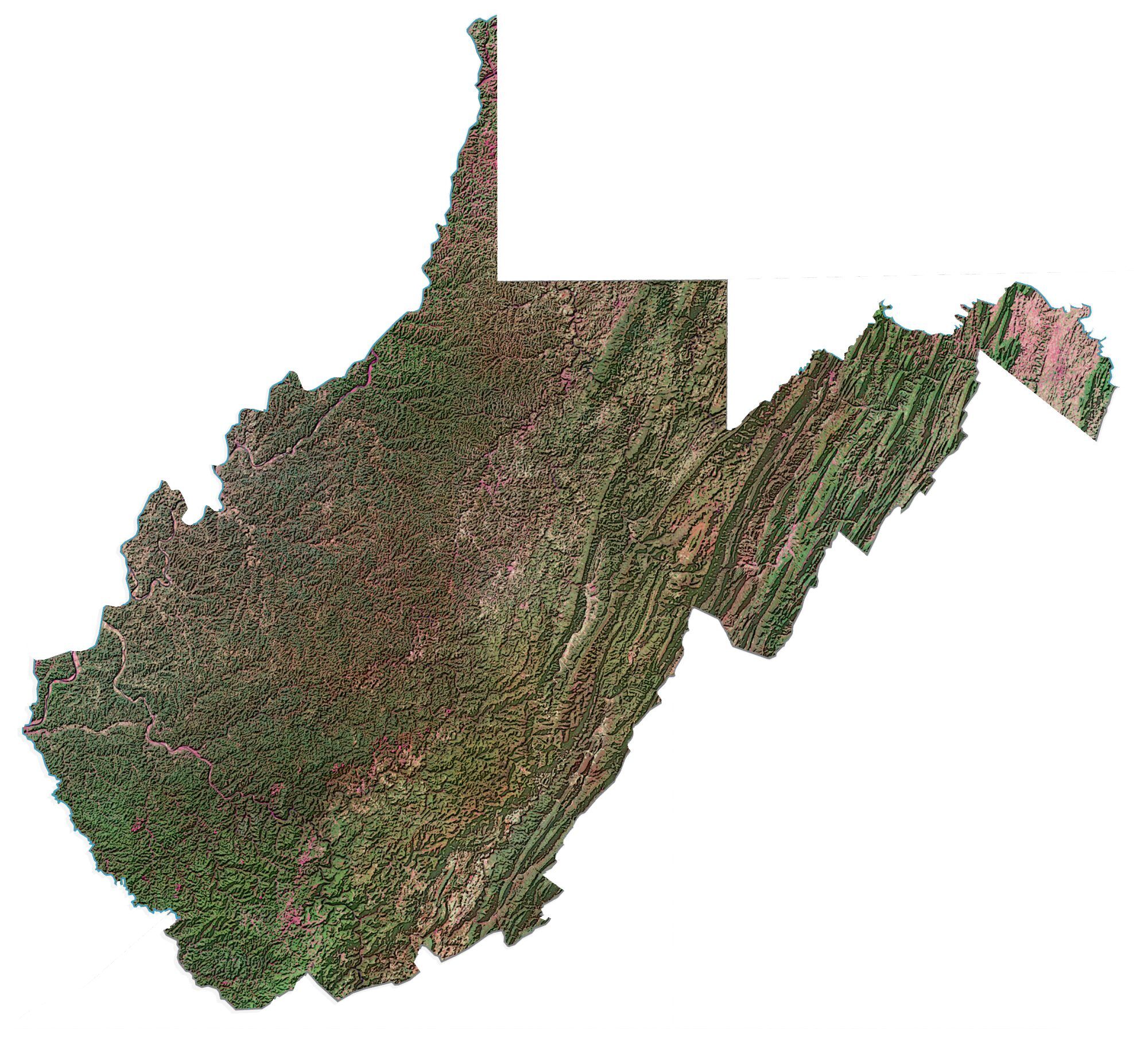
West Virginia County Map

About the map
This West Virginia county map displays its 55 counties. Kanawha, Monongalia, and Cabell counties are some of the largest counties in West Virginia in terms of population.
For size, Randolph County is the largest, occupying an area of close to 1,040 square miles. But its neighbor, Greenbrier County, is a close second, just under 1,025 square miles. On the other hand, Hancock County in the north of West Virginia is the smallest occupying an area of 86.8 square miles.
The most populated county in West Virginia is Kanawha County with over 175,000 residents. It’s home to Charleston, which is the state capital of West Virginia. Conversely, Wirt County is the least populated county with under 6,000 people.
You are free to use our county map of West Virginia for educational and commercial uses. Attribution is required. How to attribute?
West Virginia County List
| FIPS Code | Name | Land (sq mi) | Water (sq mi) | Population (2024) |
|---|---|---|---|---|
| 54-001 | Barbour County | 341.1 | 1.8 | 15,369 |
| 54-003 | Berkeley County | 321.1 | 0.4 | 136,287 |
| 54-005 | Boone County | 501.5 | 1.7 | 20,496 |
| 54-007 | Braxton County | 510.8 | 5.5 | 12,051 |
| 54-009 | Brooke County | 89.2 | 3.4 | 21,285 |
| 54-011 | Cabell County | 281.0 | 7.0 | 91,489 |
| 54-013 | Calhoun County | 279.2 | 1.4 | 5,873 |
| 54-015 | Clay County | 341.9 | 1.9 | 7,689 |
| 54-017 | Doddridge County | 319.7 | 0.8 | 7,615 |
| 54-019 | Fayette County | 661.6 | 6.7 | 38,600 |
| 54-021 | Gilmer County | 338.5 | 1.6 | 7,116 |
| 54-023 | Grant County | 477.4 | 2.9 | 10,971 |
| 54-025 | Greenbrier County | 1019.8 | 4.7 | 31,851 |
| 54-027 | Hampshire County | 640.4 | 4.2 | 23,793 |
| 54-029 | Hancock County | 82.6 | 5.4 | 28,054 |
| 54-031 | Hardy County | 582.3 | 2.2 | 14,335 |
| 54-033 | Harrison County | 416.0 | 0.5 | 64,472 |
| 54-035 | Jackson County | 464.4 | 7.3 | 27,718 |
| 54-037 | Jefferson County | 209.3 | 2.4 | 61,264 |
| 54-039 | Kanawha County | 901.6 | 9.3 | 173,906 |
| 54-041 | Lewis County | 386.9 | 2.7 | 16,477 |
| 54-043 | Lincoln County | 437.0 | 1.6 | 19,377 |
| 54-045 | Logan County | 453.7 | 1.9 | 30,560 |
| 54-047 | McDowell County | 533.5 | 1.4 | 17,147 |
| 54-049 | Marion County | 308.7 | 2.8 | 55,649 |
| 54-051 | Marshall County | 305.4 | 6.7 | 29,354 |
| 54-053 | Mason County | 430.8 | 13.9 | 24,770 |
| 54-055 | Mercer County | 419.0 | 1.7 | 57,524 |
| 54-057 | Mineral County | 327.9 | 1.4 | 26,778 |
| 54-059 | Mingo County | 423.1 | 0.8 | 21,712 |
| 54-061 | Monongalia County | 360.1 | 5.8 | 108,697 |
| 54-063 | Monroe County | 472.8 | 0.9 | 12,462 |
| 54-065 | Morgan County | 229.1 | 0.5 | 17,780 |
| 54-067 | Nicholas County | 646.8 | 7.6 | 24,017 |
| 54-069 | Ohio County | 105.8 | 3.2 | 41,090 |
| 54-071 | Pendleton County | 696.0 | 2.1 | 5,944 |
| 54-073 | Pleasants County | 130.1 | 4.4 | 7,358 |
| 54-075 | Pocahontas County | 940.3 | 1.5 | 7,653 |
| 54-077 | Preston County | 648.8 | 2.6 | 34,055 |
| 54-079 | Putnam County | 345.7 | 4.7 | 57,067 |
| 54-081 | Raleigh County | 605.4 | 4.0 | 72,379 |
| 54-083 | Randolph County | 1039.7 | 0.3 | 27,190 |
| 54-085 | Ritchie County | 452.0 | 1.7 | 8,170 |
| 54-087 | Roane County | 483.6 | 0.2 | 13,540 |
| 54-089 | Summers County | 360.6 | 7.1 | 11,544 |
| 54-091 | Taylor County | 172.8 | 2.9 | 16,438 |
| 54-093 | Tucker County | 419.0 | 2.0 | 6,573 |
| 54-095 | Tyler County | 256.3 | 4.4 | 7,843 |
| 54-097 | Upshur County | 354.6 | 0.1 | 23,650 |
| 54-099 | Wayne County | 506.0 | 6.1 | 37,589 |
| 54-101 | Webster County | 553.5 | 2.8 | 7,947 |
| 54-103 | Wetzel County | 358.1 | 3.3 | 13,766 |
| 54-105 | Wirt County | 232.5 | 2.3 | 4,924 |
| 54-107 | Wood County | 366.5 | 10.3 | 82,757 |
| 54-109 | Wyoming County | 499.5 | 2.3 | 19,964 |