Map of West Virginia – Cities and Roads

About the map
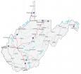
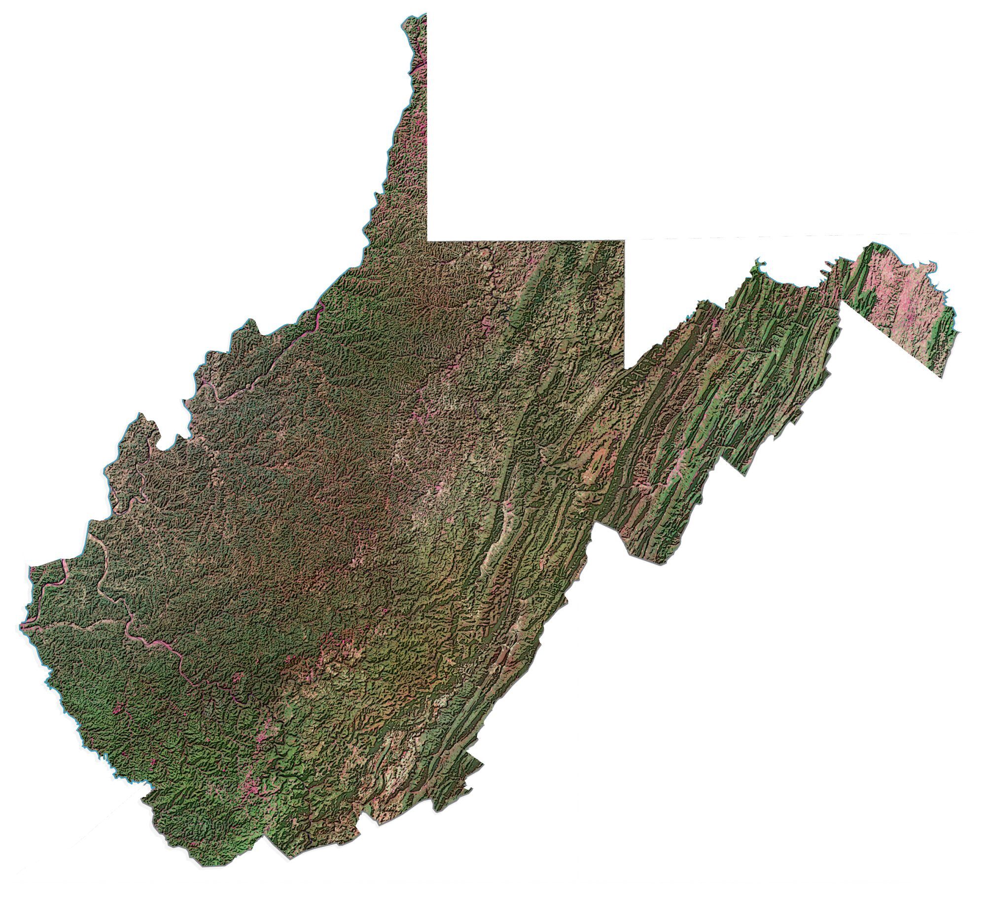
This West Virginia map contains cities, roads, rivers, and lakes. For example, Charleston, Morgantown, and Parkersburg are some of the major cities on this map of West Virginia.
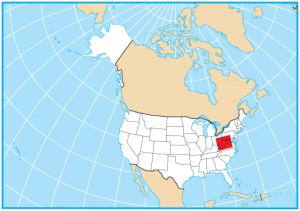
West Virginia is located on the east coast of the United States along the Atlantic Ocean. It borders Ohio, Kentucky, Virginia, Maryland, and Pennsylvania. West Virginia has one of the oldest populations with an average age of about 40+.
It’s known for its coal production, scenery, outdoor recreation, and mountains (specifically the breathtaking Appalachian Mountains). In fact, that’s why it’s nicknamed the “Mountain State“. In 1863, West Virginia separated from Virginia and became part of the Union during the Civil War.
West Virginia map collection
You are free to use our map of West Virginia for educational and commercial uses. Attribution is required. How to attribute?
State capital
Charleston
Major cities and towns
Charleston
Morgantown
Parkersburg
Wheeling
Huntington
Bluefield
Buckhannon
Charles Town
Clarksburg
Elkins
Fairmont
Grafton
Hinton
Keyser
Lewisburg
Logan
Martinsburg
Point Pleasant
Princeton
St Albans
Spencer
Welch
Weston
Williamson
Moundsville
New Martinsville
Beckley
Madison
Oak Hill
Summersville
Marlinton
Franklin
Sutton
Petersburg
Thomas
Romney
Bridgeport
Weirton
Ripley
Interstate highways
Interstate-64 (I-64)
Interstate-68 (I-68)
Interstate-70 (I-70)
Interstate-77 (I-77)
Interstate-79 (I-79)
Interstate-81 (I-81)
Lakes, rivers and creeks
New River
Kanawha River
Potomac River
Ohio River
Elk River
Gauley River
Greenbrier River
Thank you for giving me this mp it really helped a lot with my school project!
Is not Beckley, one of the major cities?