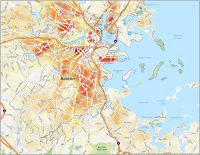
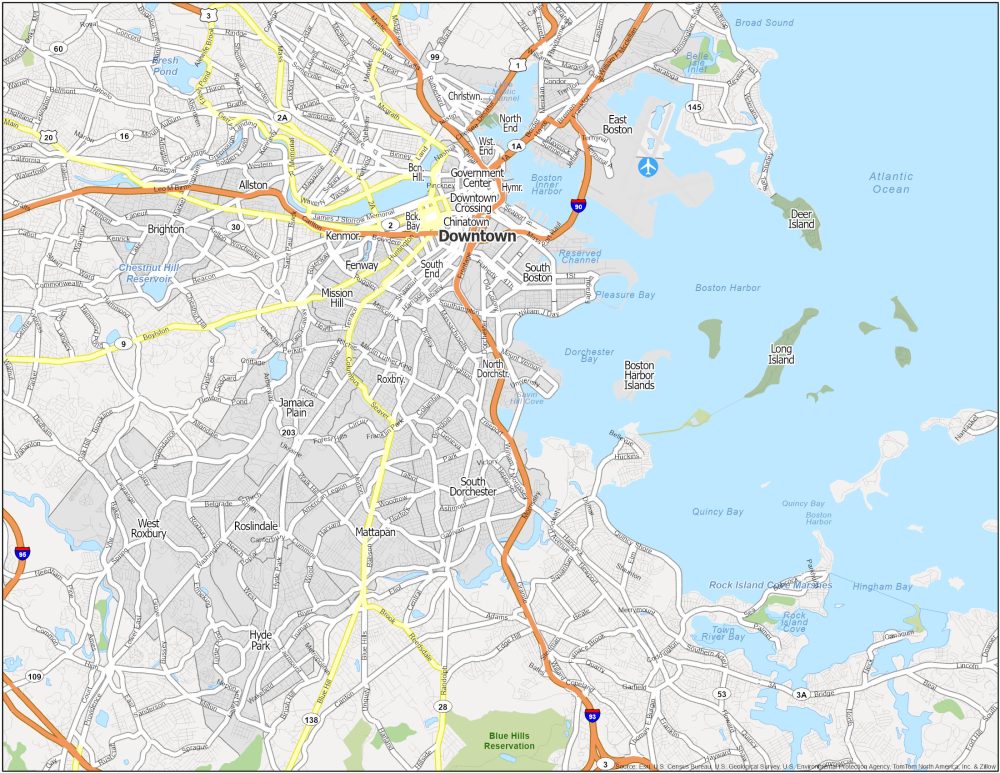
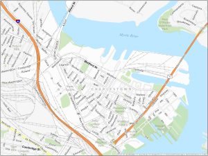
Boston Neighborhood Map
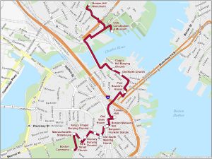


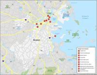
Freedom Trail Map
The Freedom Trail is a 2.5-mile-long path through downtown Boston. This trail takes you past 16 historically significant sites related to the American Revolution.
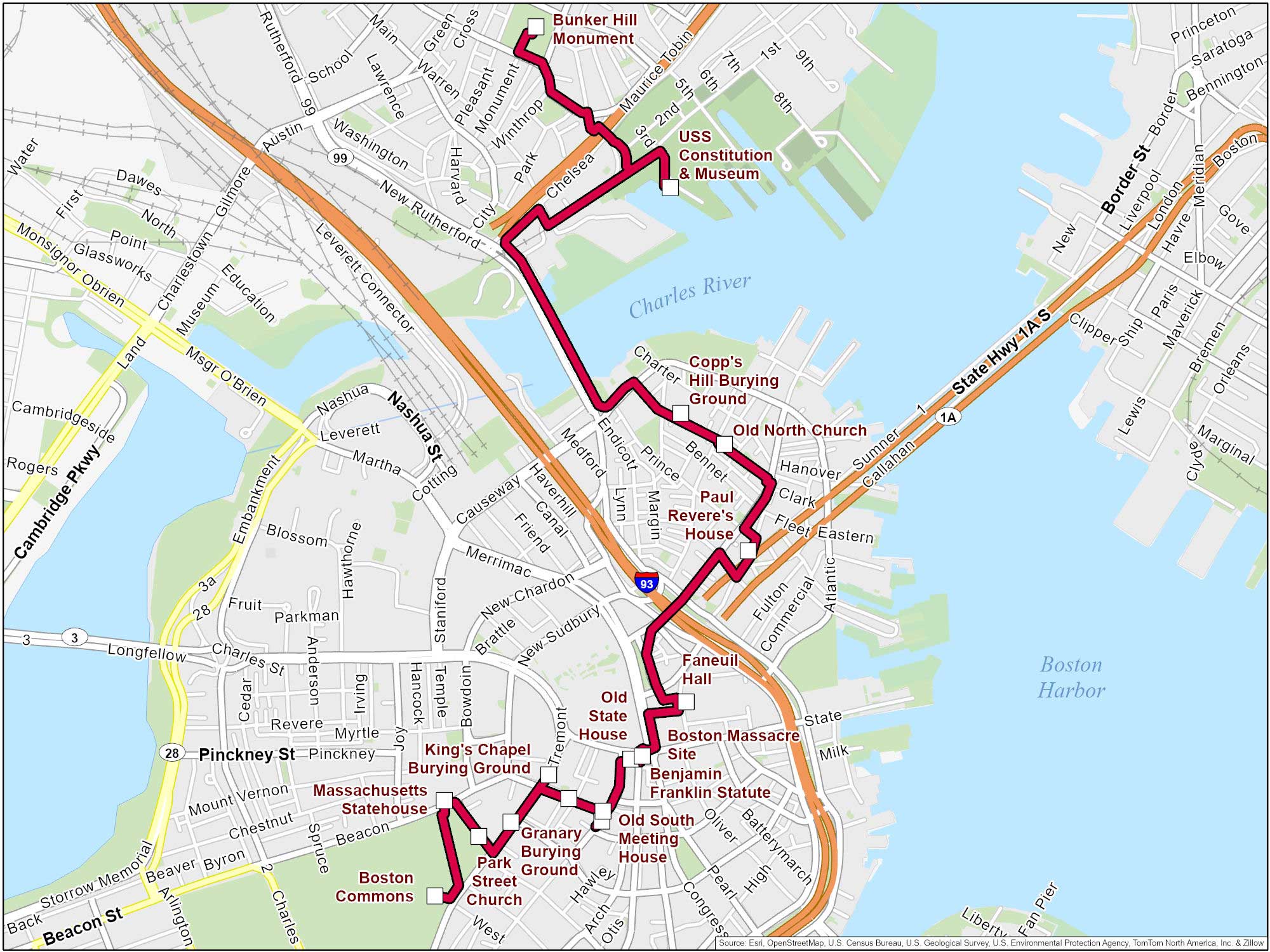
Our map shows: (1) Boston Common, (2) Massachusetts State House, (3) Park Street Church, (4) Granary Burying Ground, (5) King’s Chapel and Burying Ground, (6) Benjamin Franklin Statue, (7) Old Corner Bookstore, (8) Old South Meeting House, (9) Old State House, (10) Boston Massacre Site, (11) Faneuil Hall, (12) Paul Revere House, (13) Old North Church, (14) Copp’s Hill Burying Ground, (15) USS Constitution, and (16) Bunker Hill Monument.
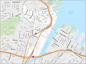
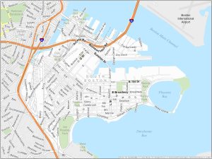
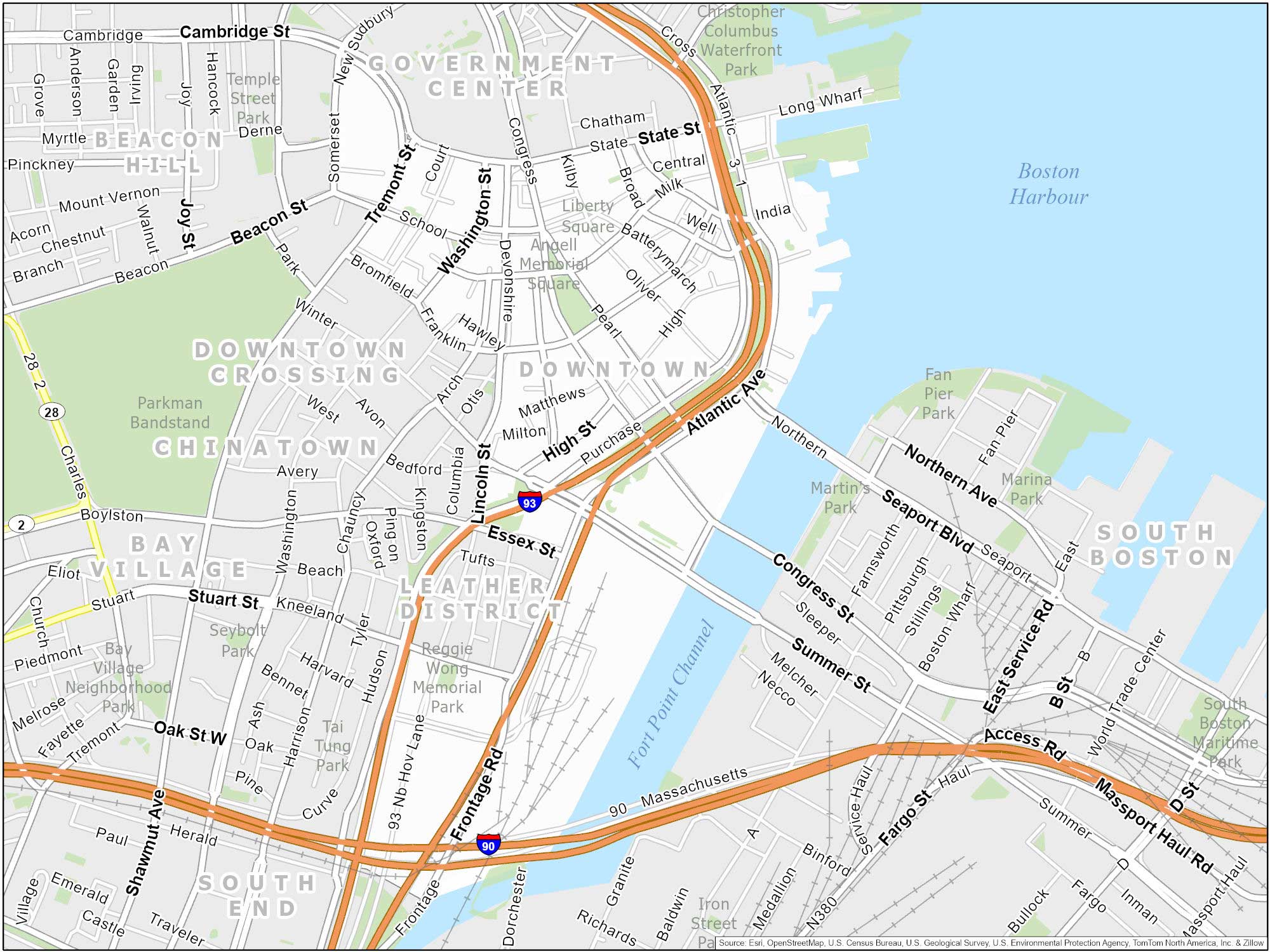
Downtown Boston
Downtown Boston is the historic and economic heart of the city. It is centrally located along Boston Harbor. Key areas include the Financial District, Government Center, the Theater District, and parts of the Waterfront.
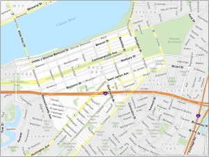
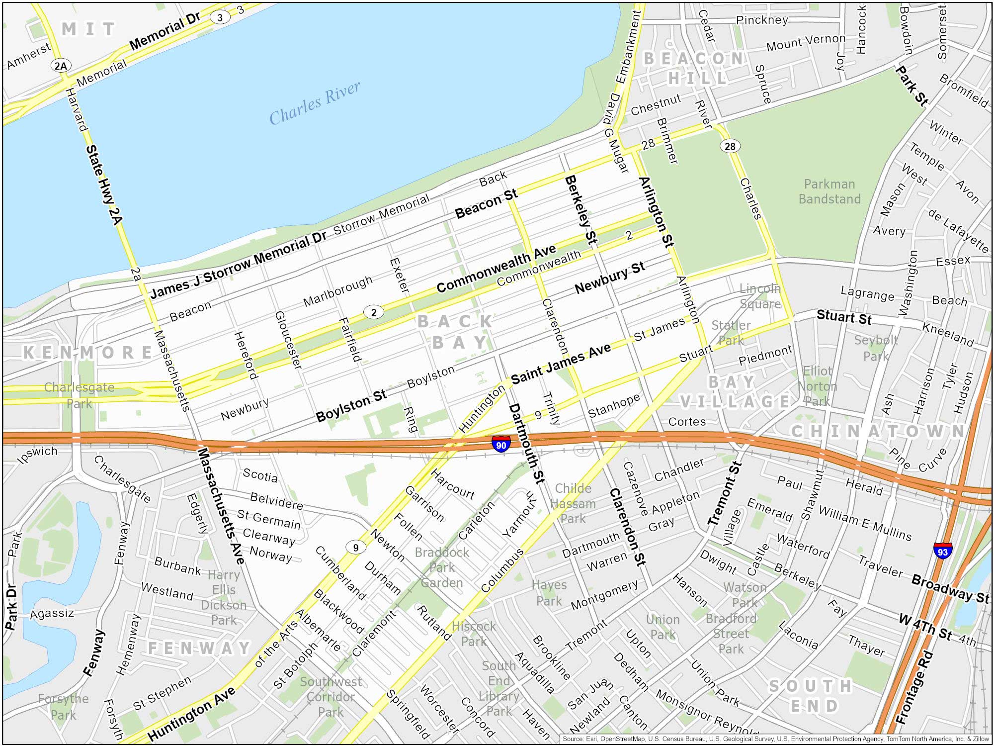
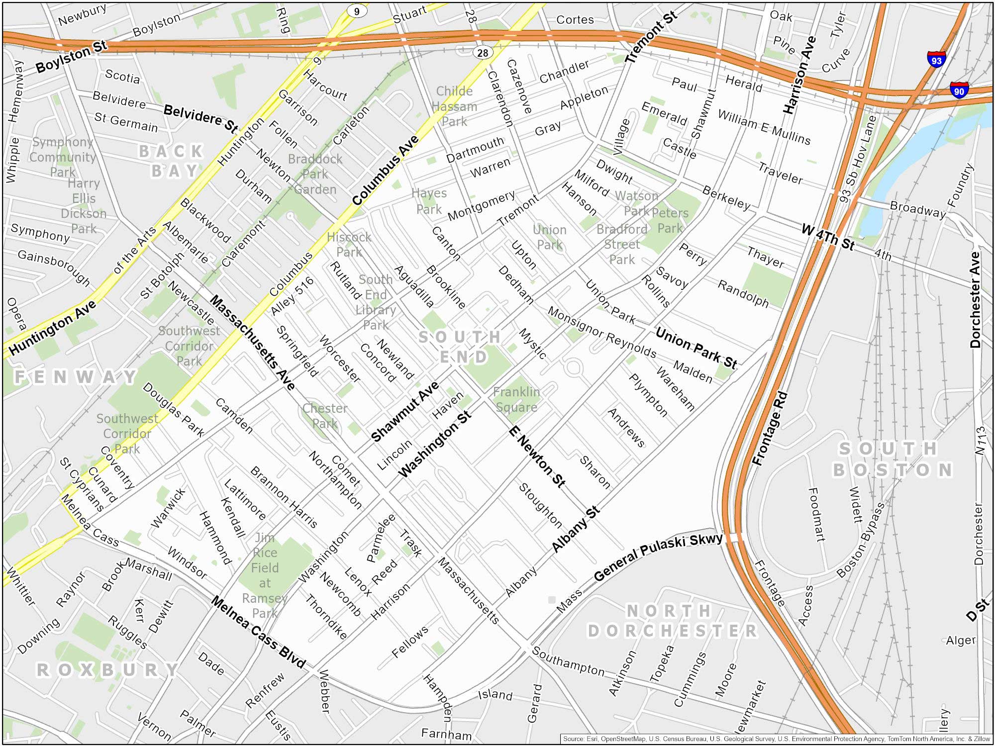
Back Bay
Back Bay is west of downtown and next to Fenway-Kenmore. It’s also beside the Charles River to the north. This area is home to landmarks like the Prudential Center and the Boston Public Library. You can also shop on Newbury Street or relax in the Copley Square Park nearby.
Beacon Hill
Beacon Hill feels a bit like a time machine. It’s because this area has cobblestone streets, brick homes, and gaslit lamps. Pretty neat area of the city. It is also known for the Massachusetts State House and the Charles Street shopping area.
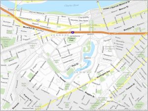
South End
The South End is known for the SoWa Art & Design District and South End Open Market. This is where you can find local artisans and farmers’ markets. If you’re a fan of food trucks, this is the place for you on weekends.
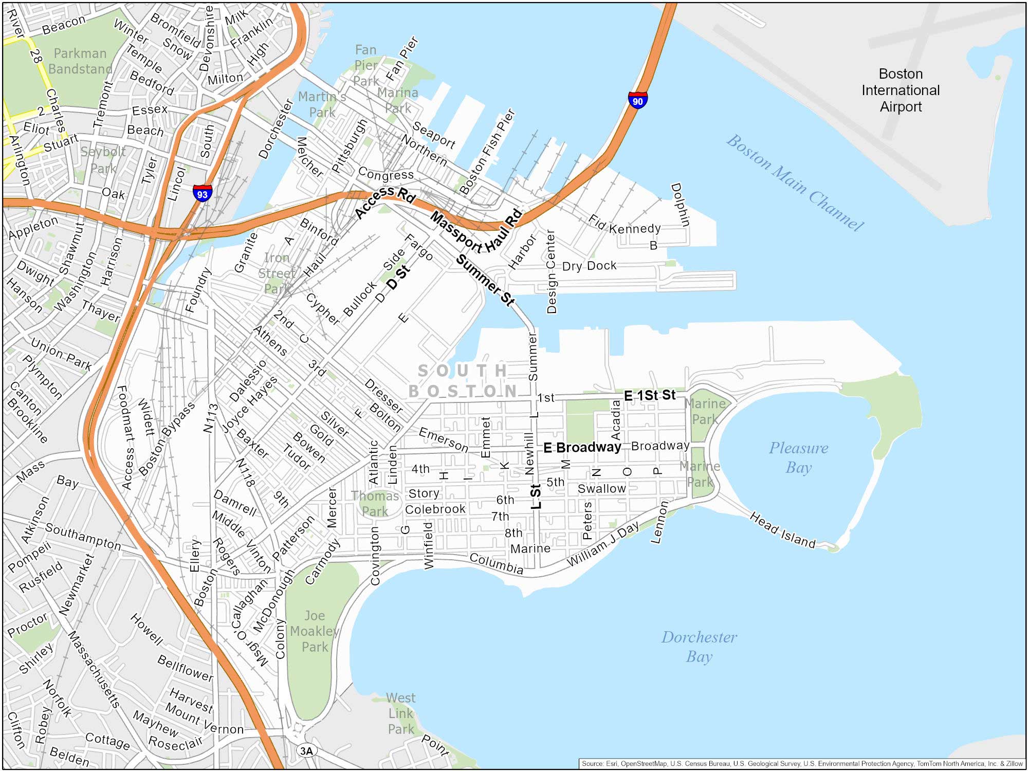
South Boston (Southie)
Located on the waterfront, South Boston has a strong Irish-American heritage. It’s famous for its St. Patrick’s Day Parade. This neighborhood features beaches, parks, bars, and unique restaurants.
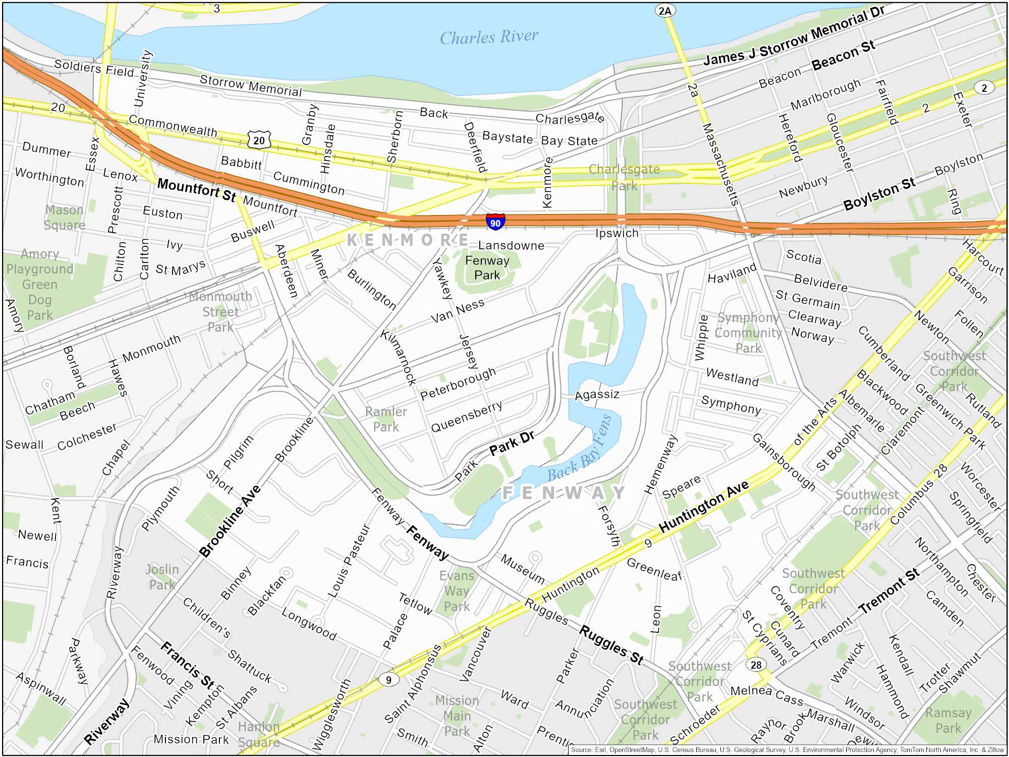
Fenway-Kenmore
Named after Fenway Park, this neighborhood is the home of the Boston Red Sox. In fact, it’s the oldest active baseball stadium in Major League Baseball. In fact, it’s been hosting games since 1912. Aside from the baseball stadium, it features numerous bars, and cultural institutions like the Museum of Fine Arts.
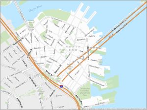
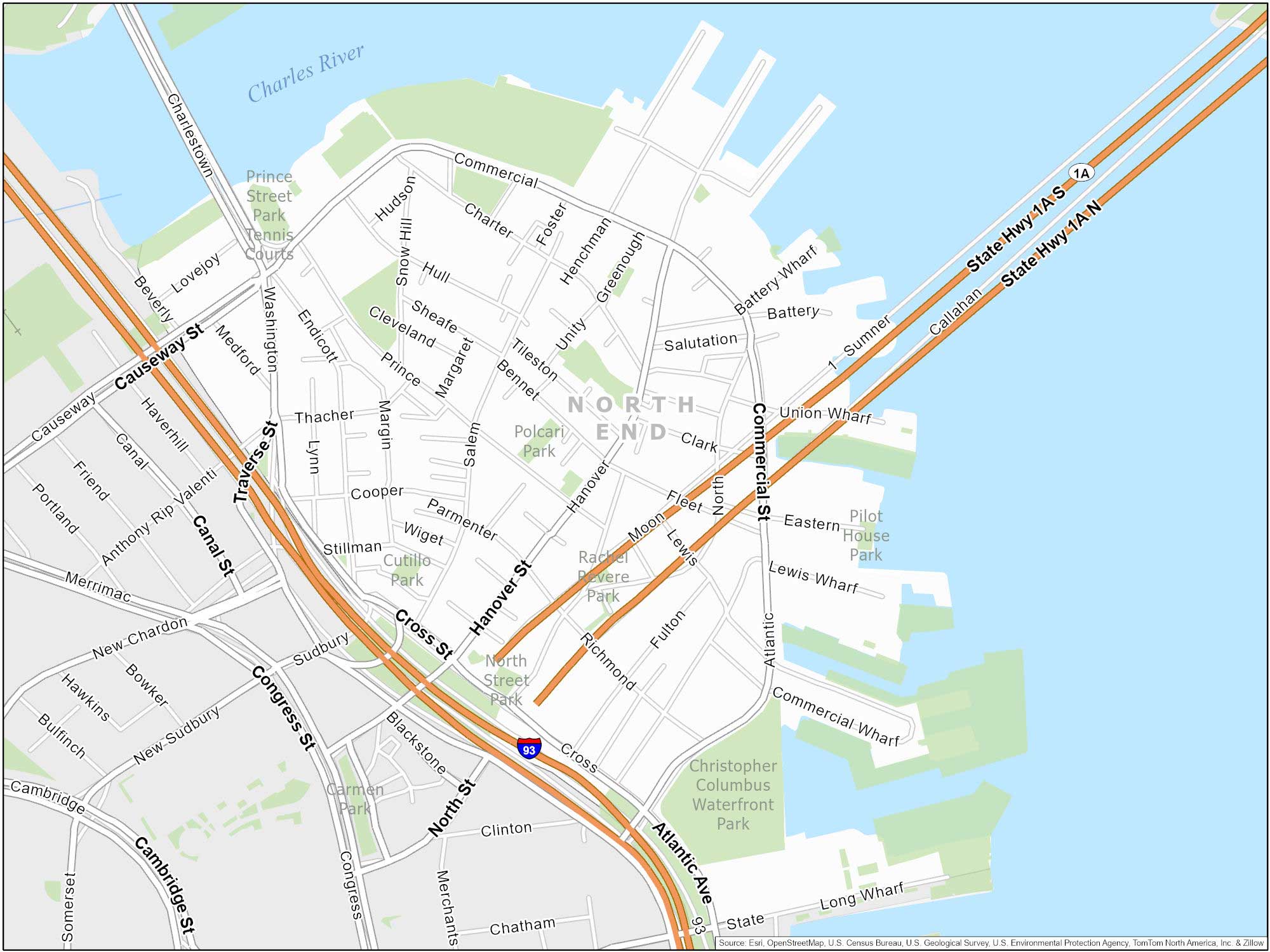
North End
People often refer to this area as Boston’s “Little Italy”. The North End is famous for its delicious Italian cuisine. It hosts lively festivals throughout the year. You can also find historic sites like the Paul Revere House.
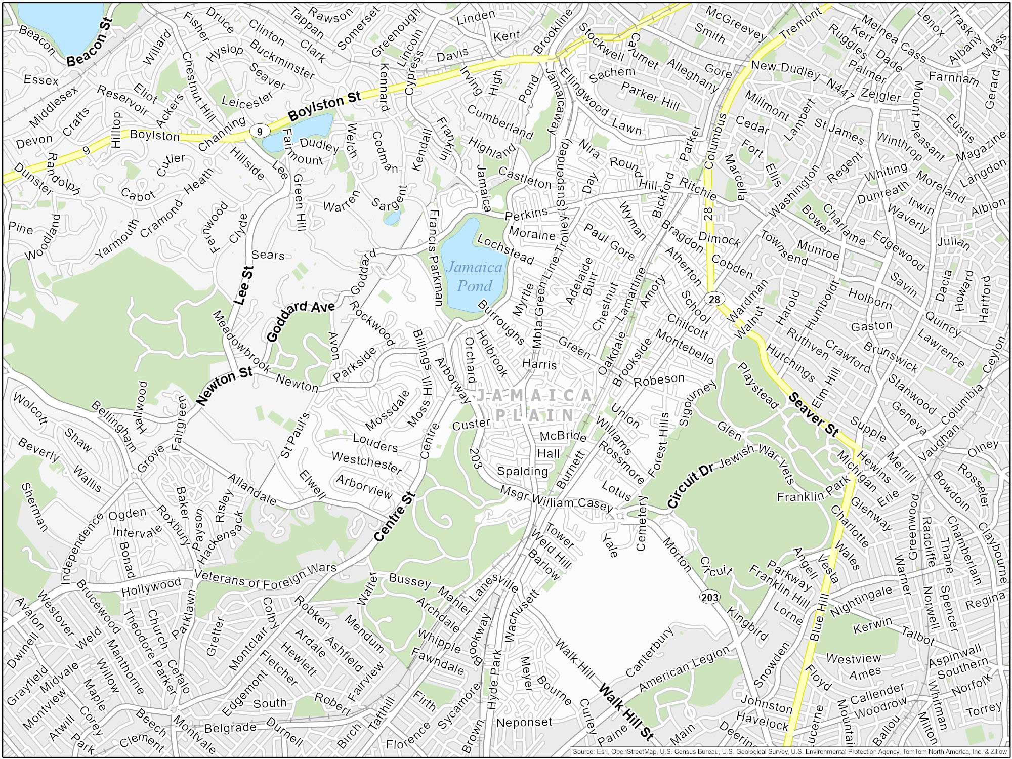
Jamaica Plain
Known as JP, this neighborhood has beautiful parks like the Arnold Arboretum. JP also hosts the popular Jamaica Plain Open Studios. This is where local artists showcase their creative works to the community.
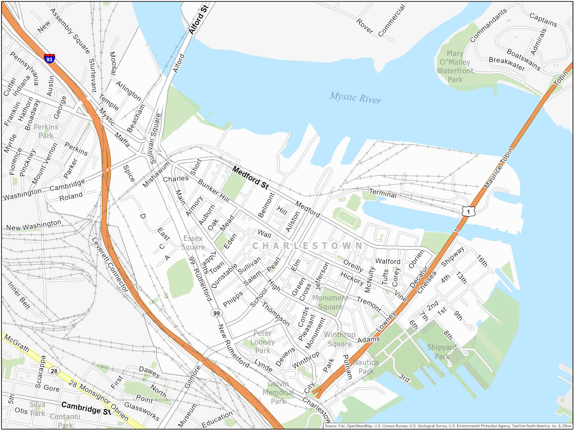
Charlestown
Situated across the harbor from downtown Boston, Charlestown is unique in its own way. It’s filled with attractions like the historic USS Constitution, Bunker Hill Monument, and the Charlestown Navy Yard. If you can, try to climb to the top of Bunker Hill Monument for a great view of Boston.
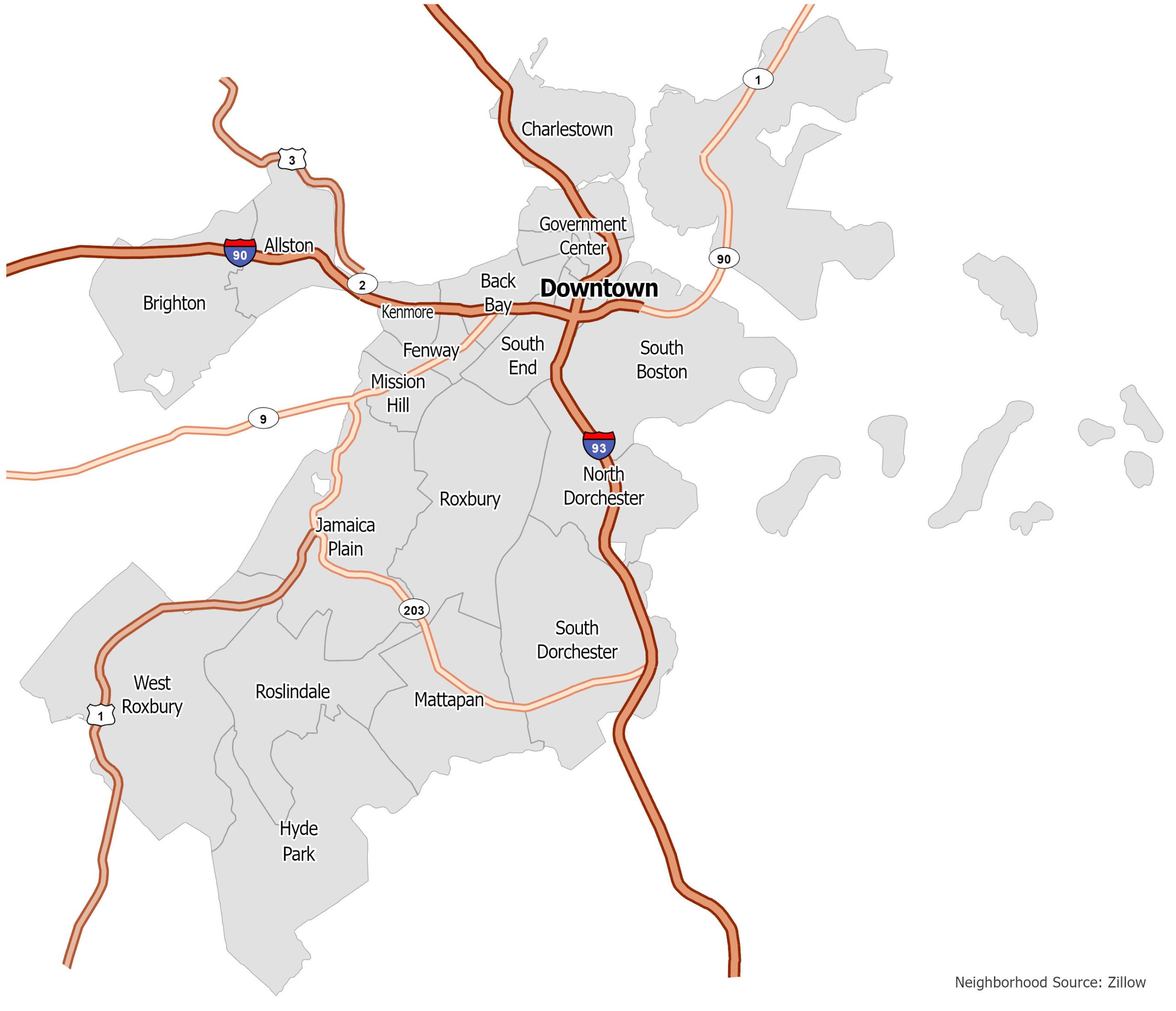
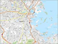
Boston Neighborhood Map
Click on the image to see our original Boston Neighborhood Map with major interstate highways.